
Hawaii Tourism Braces for Category 5 Hurricane Lowell: Impact on Travel and Pacific Aviation 2026
Category 5 Hurricane Lowell, with 160 mph winds, threatens Hawaii's tourism sector as dangerous swells and rip currents emerge, coinciding with a period of record-breaking visitor spending and transpacific flight capacity.

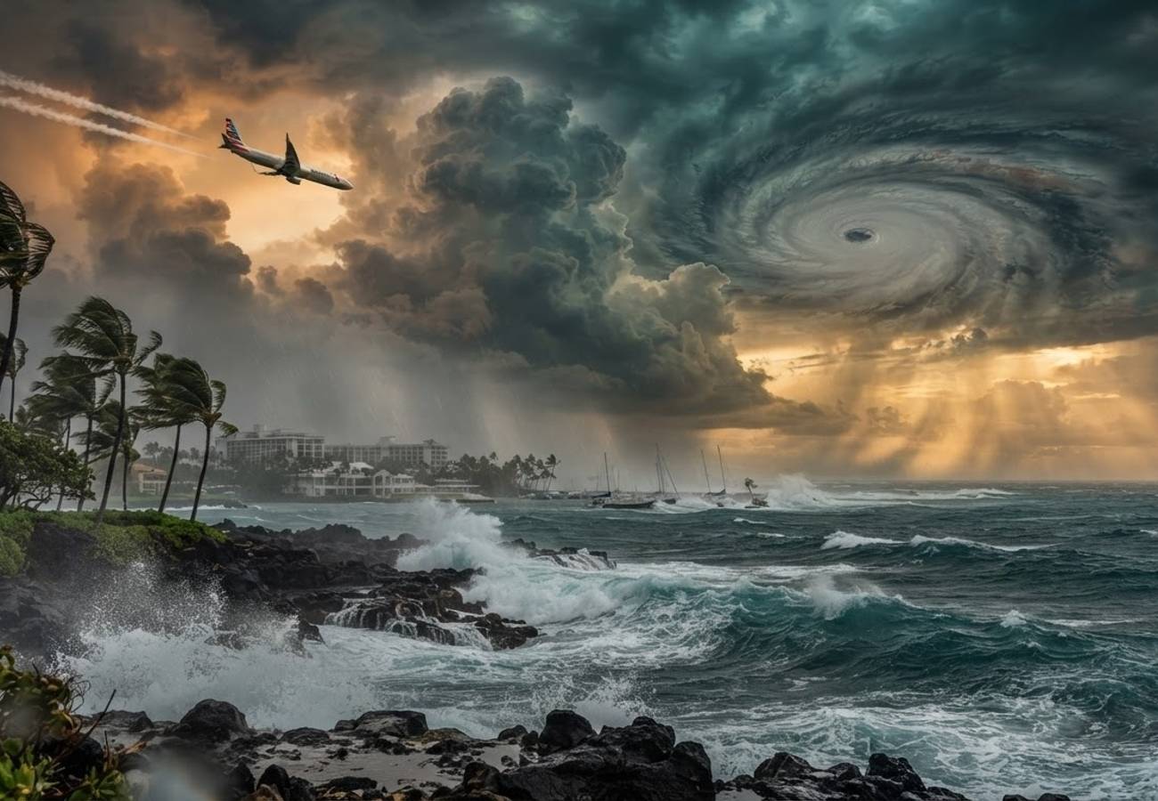
Image generated by AI
Hurricane Lowell has rapidly intensified into a Category 5 storm with maximum sustained winds of 160 mph, creating significant operational risks for Hawaii's tourism infrastructure and maritime activities.
The National Hurricane Center (NHC) confirmed the storm's peak intensity on Wednesday. At the time of the upgrade, Lowell was positioned approximately 715 km (445 miles) south of Hilo, moving west at 10 mph. While no official coastal watches or warnings were in effect at the time of the report, the storm's rapid escalation has put the region on high alert.
The intensification was exceptionally fast. On Tuesday morning, the system was a fledgling hurricane with winds near 80 mph. By Wednesday morning, the NHC recorded a central pressure of 927 millibars and winds of 160 mph. This growth is attributed to low vertical wind shear and exceptionally high oceanic heat content.
Critical Storm Metrics for Travel Planning
The following data represents the most recent reported status of Hurricane Lowell:
| Indicator | Status/Value |
|---|---|
| Storm Classification | Category 5 |
| Max Sustained Winds | 160 mph / 260 km/h |
| Minimum Central Pressure | 927 mb |
| Current Position | 13.3°N, 154.3°W |
| Distance South of Hilo | ~445 miles / 715 km |
| Forward Movement | West at ~10 mph |
| Hurricane-Force Wind Radius | Up to 35 miles / 55 km |
| Tropical-Storm-Force Wind Radius | Up to 90 miles / 150 km |
| Primary Hawaii Risk | Swells, surf, and rip currents |
The Immediate Risk: Maritime and Coastal Hazards
For travelers, the most immediate danger is not wind, but water. The NHC warns that swells generated by Lowell are spreading north toward the Hawaiian Islands. This creates life-threatening rip currents and hazardous surf conditions long before the storm's center approaches land.
From a logistical perspective, this means:
- Water-based excursions: Snorkeling, diving, and small-boat tours are likely to face sudden restrictions.
- Sightseeing and Charters: Fishing charters and inter-island cruises may be cancelled or rescheduled.
- Beach Safety: Bright skies do not indicate safe water; long-period swells can turn calm mornings into dangerous afternoons.
Economic Stakes: Hawaii's 2026 Tourism Surge
The timing of this storm coincides with a period of robust growth for Hawaii's visitor economy. Data from DBEDT indicates that the islands are operating at high capacity, making any operational disruption costly.
July 2026 Tourism Performance:
- Total Visitors: 883,248 (up 1.1% from July 2025).
- Total Visitor Expenditure: $1.99 billion (up 1.7%).
- Transpacific Aviation: 5,745 flights and 1.23 million seats (capacity increase year-on-year).
- Regional Focus: Maui recorded 247,857 visitors in July, a 5.6% increase, with spending hitting $539.9 million.
Overall, the first seven months of 2026 saw 5.92 million visitors (up 2.3%) and total spending of $13.63 billion (up 5.6%).
Detailed Tourism Growth Data (July 2026)
| Tourism Indicator | July 2026 Value | Change vs July 2025 |
|---|---|---|
| Total Visitors | 883,248 | +1.1% |
| Visitor Spending | $1.99 billion | +1.7% |
| Average Daily Spending | $296 | +17.1% |
| Average Stay | 7.59 days | -14.1% |
| Transpacific Flights | 5,745 | +8.1% |
| Transpacific Seats | 1,233,505 | +6.1% |
Pacific-Wide Weather Complications
Lowell is not the only system affecting the region. The Pacific is currently seeing a "multi-system" challenge:
- Hurricane Karina: A major hurricane in the eastern Pacific that may influence Lowell's steering patterns.
- Tropical Storm Marie: Positioned near southwestern Mexico, potentially driving moisture toward the US Southwest.
This atmospheric congestion increases forecasting uncertainty. Models differ on how sharply Lowell will turn north or north-northeast around days four and five. For cruise passengers and multi-destination travelers, this means itinerary changes are highly probable, even if specific ports remain open.
The El Niño Factor
NOAA’s Climate Prediction Center reports a strengthening El Niño, with a greater than 90% chance of a "very strong" event during the Northern Hemisphere autumn and winter of 2026-27. There is a 69% probability of an "exceptionally strong" event between October and December.
While El Niño does not dictate a specific storm path, it signals a more active Pacific. For corporate travel managers and tour operators, this necessitates a shift toward flexible inventory and more lenient cancellation terms.
Stay vigilant and monitor the National Hurricane Center for real-time track updates.
Related Travel Guides
Disclaimer
This article is for informational and educational purposes only. It does not constitute legal, financial, or professional advice. While we strive to provide accurate and up-to-date information, travel policies, regulations, and conditions change rapidly. Always verify information with official sources before making travel decisions. Nomad Lawyer makes no representations about the accuracy, reliability, completeness, or suitability of the information provided. Readers should consult qualified professionals for advice specific to their circumstances. The views expressed in this article are those of the author and do not necessarily reflect the views of Nomad Lawyer.
Preeti Gunjan
Contributor & Community Manager
A passionate traveller and community builder. Preeti helps grow the Nomad Lawyer community, fostering engagement and bringing the reader experience to life.
Learn more about our team →