
Tornado-Warned Storm Hits Waterloo and Seneca Falls in 2026: Thousands Lose Power Across New York
A destructive tornado-warned storm swept through Waterloo and Seneca Falls on September 2, 2026, causing widespread power outages for over 8,000 customers and significant infrastructure damage.

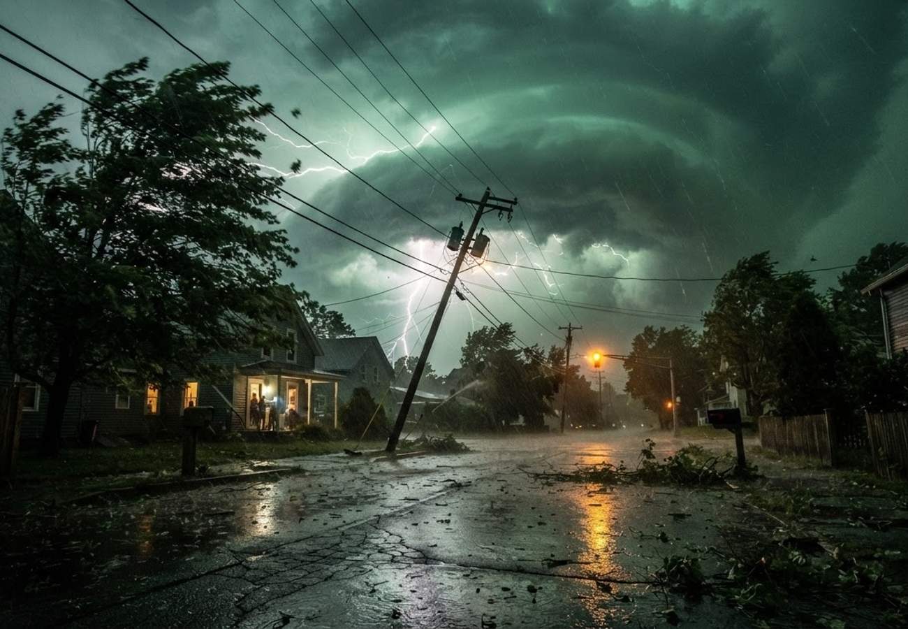
Image generated by AI
Over 8,000 customers were left without electricity after a violent, tornado-warned storm tore through the northern Finger Lakes on Wednesday, September 2, 2026. The system caused extensive damage to homes and utility infrastructure in Waterloo and Seneca Falls, triggering emergency responses across central New York.
The severe weather event transitioned into Seneca and Cayuga counties shortly after 8 p.m. on Wednesday, bringing a volatile mix of torrential rainfall, frequent lightning, and high-velocity wind gusts. As the storm tracked eastward, radar-based alerts signaled a high probability of tornadic activity, placing residents along the northern shores of Cayuga Lake on immediate high alert.
Widespread Power Failures Across Seneca and Cayuga Counties
The scale of the utility failure became evident by Thursday morning. Data released by New York State Electric & Gas (NYSEG) and Rochester Gas & Electric (RG&E) indicated that more than 8,000 customers in the broader region experienced power losses. These interruptions peaked late Wednesday night as the storm line progressed across western and central New York.
Within Seneca County, the municipalities of Waterloo and Seneca Falls sustained the most severe impacts. Reports from the ground confirmed that thousands of residents lost electricity as utility poles were snapped and large trees were uprooted, effectively blocking primary roadways. By early Thursday, Waterloo remained one of the most critically affected areas, with a significant portion of the village still awaiting power restoration.
The footprint of the storm extended beyond the immediate impact zone, with additional outages reported in several neighboring counties, including:
- Ontario
- Wayne
- Yates
- Monroe
- Orleans
The combination of saturated soil and fallen debris significantly hindered late-night emergency travel and rendered various rural roads impassable.
National Weather Service Issues Tornado Warnings for Northern Finger Lakes
As the atmospheric conditions intensified on Wednesday evening, the National Weather Service (NWS) office in Binghamton issued a formal tornado warning for northwestern Seneca and Cayuga counties. This alert, which remained active until 9 p.m., cautioned of a severe thunderstorm capable of producing quarter-size hail and a tornado, moving east at approximately 30 mph.
According to the alert, the most hazardous portion of the weather system was expected to pass directly over Waterloo and Seneca Falls around 8:25 p.m. Radar imagery confirmed rotation within the storm cell, leading meteorologists to warn of both tornadic activity and extensive straight-line wind damage. Additionally, the heavy rain embedded within the squall line created a high risk of localized flash flooding on low-lying roads.
While tornado warnings were issued across multiple counties from the Niagara Frontier to the Finger Lakes, causing tens of thousands of outages statewide, officials have not yet confirmed a touchdown in the Waterloo or Seneca Falls vicinity. Final determinations regarding whether a tornado actually touched down typically require detailed post-storm surveys by meteorological teams.
Infrastructure Damage and Localized Flooding in Waterloo
The physical aftermath in Waterloo and Seneca Falls highlighted the extreme force of the winds. Public reports described a scene of significant debris, with large tree trunks resting on residential outbuildings and vehicles. Utility crews worked through the night to manage tangled power lines and broken poles.
Beyond wind damage, the intense rainfall overwhelmed local storm drainage systems, leading to standing water on numerous roadways. Some homeowners reported basement flooding, adding a layer of water damage recovery to the existing structural repairs. Visual evidence shared via local news platforms showed darkened neighborhoods where only emergency vehicle lights provided illumination.
Despite the severity of the property damage, there have been no widespread reports of serious injuries. The pattern of damage—characterized by snapped limbs and downed lines—is consistent with the destructive straight-line winds often associated with late-summer severe thunderstorms.
Travel Disruptions and Regional Recovery Efforts
The storm created hazardous conditions for both residents and visitors in the northern Finger Lakes. The combination of disabled traffic signals, debris-strewn roads, and high water levels made nighttime navigation dangerous throughout Seneca County.
By Thursday morning, local media indicated that travel advisories remained in effect for portions of the county. Public safety officials urged drivers to avoid nonessential trips and to treat all intersections with non-functioning signals as four-way stops.
Utility companies confirmed that restoration efforts would extend through Thursday night. Crews are currently focused on replacing poles and restring lines to bring circuits back online. While outage maps show a steady decline in the number of affected customers, full restoration in the hardest-hit rural areas may take longer.
Why This Matters: Navigating Late-Summer Weather Risks
For the traveler or digital nomad visiting the Finger Lakes, this event underscores a critical seasonal risk. The northeastern United States frequently experiences clashing air masses during late summer and early autumn, which can trigger violent convection when cold fronts meet high humidity.
From a logistical standpoint, this means that a clear forecast can deteriorate into a life-threatening situation within hours. For those boating on the region's lakes or camping in rural areas, the lack of immediate shelter and lighting makes these storms particularly dangerous.
When a tornado watch or warning is issued, the priority must be immediate relocation to a sturdy interior room or a basement. Avoiding vehicles and open fields is paramount, as 70 mph winds—even without a confirmed tornado—can easily topple trees and power lines, creating lethal hazards. While tourism infrastructure in the Finger Lakes remains open, visitors should expect detours and should monitor utility outage maps to ensure their destinations have power and accessibility.
As recovery continues in Seneca County, residents and visitors are reminded to stay clear of downed power lines and follow all local emergency directives.
Related Travel Guides
Disclaimer
This article is for informational and educational purposes only. It does not constitute legal, financial, or professional advice. While we strive to provide accurate and up-to-date information, travel policies, regulations, and conditions change rapidly. Always verify information with official sources before making travel decisions. Nomad Lawyer makes no representations about the accuracy, reliability, completeness, or suitability of the information provided. Readers should consult qualified professionals for advice specific to their circumstances. The views expressed in this article are those of the author and do not necessarily reflect the views of Nomad Lawyer.
Preeti Gunjan
Contributor & Community Manager
A passionate traveller and community builder. Preeti helps grow the Nomad Lawyer community, fostering engagement and bringing the reader experience to life.
Learn more about our team →