
Severe Thunderstorm Warnings Issued for Toronto, Mississauga, and Southern Ontario Cities in 2026
Environment and Climate Change Canada has issued red severe-thunderstorm warnings for Toronto, Mississauga, and multiple Southern Ontario hubs, threatening destructive winds, large hail, and aviation disruptions.

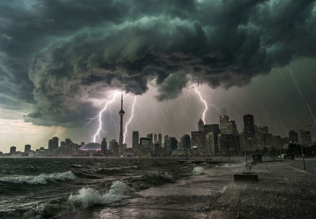
Image generated by AI
Severe weather alerts have escalated from orange watches to red warnings across the Greater Toronto Area (GTA) and Southern Ontario. Travelers face imminent threats of destructive winds, large hail, and torrential rain, with specific risks of tornadoes in certain sectors.
Severe Weather Impact on Southern Ontario Transit
A volatile atmospheric pattern has triggered rapidly developing thunderstorms across Southern Ontario. The interaction of warm, humid air with shifting atmospheric conditions is producing localized, high-intensity weather cells. For the transit sector, this creates a high-risk environment where visibility can drop to near zero within minutes, and destructive winds can compromise road and rail safety.
Toronto serves as the primary transit node for the Greater Toronto Area and Southern Ontario. Consequently, disruptions in the city center ripple through the entire regional network, affecting commuters and international travelers alike.
Regional Alert Status and Primary Threats
The following data outlines the specific alert levels and primary hazards for key Canadian urban centers.
| City / Area | Alert Status | Primary Weather Threats |
|---|---|---|
| Toronto | Red Warning (formerly Orange) | Destructive winds, large hail, torrential rain, tornado risk |
| Mississauga | Red Warning (formerly Orange) | Destructive winds, hail, heavy rain |
| Brampton | Severe-Thunderstorm Warning | Strong winds, hail, heavy rain |
| Vaughan | Warning (formerly Orange) | Strong winds, hail, torrential rain |
| Richmond Hill | Warning (formerly Orange) | Severe thunderstorms, damaging winds |
| Markham | Warning (formerly Orange) | Strong winds, hail, heavy rain |
| Hamilton | Red Warning (formerly Orange) | Destructive winds, large hail, heavy rain |
| Burlington | Red Warning | Destructive winds, large hail |
| Oakville | Red Warning | Destructive winds, hail, heavy rain |
| Milton | Red Warning | Destructive winds, heavy rain |
| Halton Hills | Red Warning | Severe thunderstorms, damaging winds |
| Kitchener | Red Warning | Destructive winds, large hail, heavy rain |
| Cambridge | Red Warning | Destructive winds, hail |
| Guelph | Red Warning | Severe thunderstorms, damaging winds |
| Barrie | Watch (Initial) | Strong winds, hail, heavy rain |
| Newmarket | Warning (formerly Orange) | Strong winds, hail, torrential rain |
| Georgina | Orange Watch | Severe thunderstorms |
| Niagara / St Catharines | Red Warning (Partial) | Severe thunderstorms, damaging winds, hail |
| Brantford | Red Warning (formerly Orange) | Destructive winds, large hail |
| London | Severe Warning (formerly Orange) | Strong winds, hail, torrential rain |
| Woodstock | Red Warning (formerly Orange) | Destructive winds, large hail |
| Stratford | Red Warning (formerly Orange) | Destructive winds, hail |
| Belleville | Orange Watch | Severe thunderstorms, heavy rain, wind |
| Peterborough | Orange Watch | Strong winds, hail, torrential rain |
| Kingston Area | Watch | Severe thunderstorm potential |
Critical Hub Analysis: Aviation and Urban Transit
Toronto Pearson International (Mississauga/Brampton)
Mississauga and Brampton are under heightened risk due to their proximity to Toronto Pearson International Airport. Aviation operations are sensitive to lightning and wind shear; even if the airport itself is not the epicenter of a storm, surrounding cells can trigger ground stops, flight diversions, and significant delays. Travelers moving through the western GTA should expect knock-on effects for all air travel.
Downtown Toronto and the GTA
The urban core faces sudden downpours and wind gusts that impact pedestrians and motorists. Water accumulation on major arteries frequently leads to rapid congestion and reduced visibility. In northern hubs like Vaughan and Richmond Hill, the risk extends to outdoor attractions and highway networks, where falling debris and urban flooding can halt traffic.
Traveler Logistics Guide: Navigating Severe Storms
From a ground-level perspective, the best way to navigate these conditions is to shift from a fixed schedule to a flexible, alert-based itinerary.
1. Flight Connection Strategy If you are transiting through Pearson International, do not rely on standard commute times. During red warnings, allow an additional 2-3 hours for airport transit. Check your flight status via the airline's mobile app before leaving your accommodation to avoid being stranded in a terminal during a ground stop.
2. Ground Transport & Road Safety Avoid stopping under trees or near temporary structures during wind gusts. If driving through Markham or Vaughan, increase following distances significantly to account for hydroplaning. If visibility drops suddenly, find a secure parking area rather than pulling over on a highway shoulder.
3. Digital Monitoring Rely exclusively on official data. Monitor Environment and Climate Change Canada (ECCC) for real-time updates. Avoid third-party weather apps that may not reflect the urgency of "Red Warning" status.
4. Outdoor Activity Pivot Postpone all exposed outdoor activities—including visits to attractions like Canada’s Wonderland—the moment an Orange Watch is upgraded to a Warning. Seek shelter in substantial, permanent buildings; vehicles are not safe havens during lightning or tornado risks.
Infrastructure Impact Assessment
This weather event underscores the vulnerability of Southern Ontario's highly centralized transit corridors. Because Toronto acts as the gateway for the region, a localized storm in the GTA can effectively paralyze logistics for the entire province. The rapid escalation from "Watch" to "Warning" suggests a pattern of increasing atmospheric volatility that requires more robust real-time communication between port/airport authorities and the traveling public.
Stay vigilant and prioritize safety over schedules during this severe weather event.
Related Travel Guides
Disclaimer
This article is for informational and educational purposes only. It does not constitute legal, financial, or professional advice. While we strive to provide accurate and up-to-date information, travel policies, regulations, and conditions change rapidly. Always verify information with official sources before making travel decisions. Nomad Lawyer makes no representations about the accuracy, reliability, completeness, or suitability of the information provided. Readers should consult qualified professionals for advice specific to their circumstances. The views expressed in this article are those of the author and do not necessarily reflect the views of Nomad Lawyer.
Preeti Gunjan
Contributor & Community Manager
A passionate traveller and community builder. Preeti helps grow the Nomad Lawyer community, fostering engagement and bringing the reader experience to life.
Learn more about our team →