
Oshima Joins Chiba and More as Typhoon Dujuan Unleashes a Powerful Rain and Travel Crisis Across Japan
Oshima Joins Chiba and More as Typhoon Dujuan Unleashes a Powerful Rain and Travel Crisis Across Japan

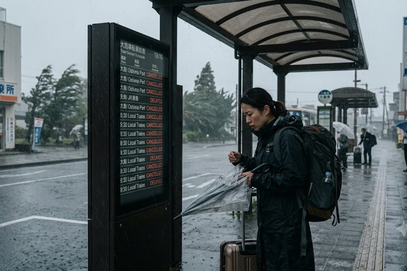
Image generated by AI
[Tokyo, September 21, 2026] — Typhoon Dujuan has triggered a critical safety crisis across eastern Japan, prompting the government to issue its highest-level emergency warnings and activate the Disaster Relief Act in multiple regions. The storm, designated as Typhoon No. 25, unleashed catastrophic rainfall and violent winds across the Kanto region and the Izu Islands on September 20 and 21, leaving a trail of destroyed homes, severed infrastructure, and massive transport failures.
The crisis peaked in Oshima Town on Izu Ōshima, where the Japan Meteorological Agency (JMA) issued a Level 5 landslide warning—the most severe alert possible—signaling that a disaster was either imminent or already underway. This extreme warning mandated immediate life-saving action for residents and visitors in high-risk zones. The severity of the situation led the Japanese government to formally place Oshima Town under the Disaster Relief Act to expedite emergency aid and deployment of weather support teams.
The Trigger: Record Precipitation and Soil Saturation
The disaster was not caused by a single burst of rain but by a prolonged period of saturation that destabilized the region's geography. Starting September 19, the Izu Islands were hammered by more than 800 millimetres of rain. This saturation created a "primed" environment where hillsides became unstable, leading to the critical landslide risks seen in Oshima Town.
The rainfall totals across the mainland were equally staggering:
- Shizuoka Prefecture: Over 500 millimetres.
- Chiba Prefecture: Over 450 millimetres.
As the storm tracked northeast, passing south of the Bōsō Peninsula, it generated powerful "rain bands." These concentrated corridors of precipitation dropped immense volumes of water over small areas in very short windows, causing flash flooding and rapid-onset landslides that overwhelmed local drainage systems.
Affected Travelers, Airlines and Logistics: Regional Impact Breakdown
The impact of Typhoon Dujuan extends from remote islands to the heart of the Tokyo metropolitan area. While Oshima Town faced the most acute life-safety threat, Chiba Prefecture suffered the most widespread mainland damage.
| Location | Prefecture/Region | Primary Impact | Emergency Status | Travel/Tourism Effect |
|---|---|---|---|---|
| Oshima Town | Tokyo (Izu Ōshima) | Extreme rain; critical landslide threat | Level 5 Warning; Disaster Relief Act | Total island isolation; emergency evacuations |
| Izu Islands | Tokyo | >800mm rain; violent winds/seas | High-alert safety warnings | Ferry and flight suspensions |
| Chiba City | Chiba | Water pipe failures (5 outages); Route 16 closure | Emergency water distribution | Localized road closures |
| Kimitsu Area | Chiba | Koito River reached Level 5 flood status | Confirmed river flooding | High-risk riverside transit |
| Chiba Prefecture | Chiba | 8 landslides; 2 homes destroyed, 2 damaged | Disaster Relief Act (24 municipalities) | Massive rail, road, and air gridlock |
| Futtsu/Minamibōsō | Chiba | Route 127 closures | Disaster Relief Act area | Bōsō Peninsula transit severed |
| Tachikawa | Tokyo | Safety hazards at Showa Kinen Park | Facility closure | Public attraction shutdown |
| Yokohama | Kanagawa | Underground parking flood | Safety limit breach | Urban infrastructure closure |
In Chiba Prefecture, the government applied disaster-relief measures to 24 distinct municipalities, including Narita, Kisarazu, Chōshi, Asahi, Katsuura, Kamogawa, Kimitsu, Futtsu, Sodegaura, Minamibōsō, Isumi, and Chōsei Village. The physical toll in Chiba includes eight confirmed landslides, resulting in two completely destroyed homes and two others suffering varying degrees of damage.
Practical Traveler Advisory and Strategic Insights
For anyone currently in or planning travel to eastern Japan, the "corporate" language of "service disruptions" translates to a near-total collapse of regional mobility.
Air Travel: If you are flying into Narita International Airport (NRT) or Haneda, expect delays. On September 21 alone, 384 flights were cancelled, primarily affecting Kanto-linked routes.
Maritime Access: The Izu Islands are effectively cut off. With 29 operators suspending 34 different routes, ferries—the primary lifeline for these communities—are non-operational. Do not attempt to travel to or from the islands until official clearances are issued.
Ground Transit: The rail network is fractured. 37 local lines are suspended, with the JR East Uchibō Line specifically blocked by mud and debris between Nagaura and Anegasaki stations. Furthermore, the Tokyo Bay Aqua-Line Link Road has seen intermittent closures due to wind, making travel between Chiba and Kanagawa unpredictable.
Tourism Sites: Major attractions in Hitachinaka, Ōiso, and Tachikawa are closed for safety inspections. Even international sporting events have been hit, with the Asian Games in Aichi forced to postpone equestrian eventing.
Recovery and Next Steps
The immediate focus for Japanese authorities is the stabilization of slopes in Oshima Town and the restoration of water services in Chiba City. Emergency crews are currently working to clear debris from the Uchibō Line and repair the rainwater-channel banks in Kamakura.
Travelers should monitor the Ministry of Land, Infrastructure, Transport and Tourism (MLIT) for updates on road reopenings. The transition from "emergency response" to "recovery" will likely take several days, as the saturated soil remains a risk for secondary landslides even after the rain stops.
FAQ: Typhoon Dujuan 2026
Are flights still being cancelled in the Kanto region? Yes, significant disruptions continue. With 384 flights cancelled on September 21, passengers should check their airline's official app or website immediately for rebooking options.
Can I still travel to the Izu Islands? Currently, no. 34 ferry routes are suspended across 29 operators. Access to islands like Izu Ōshima and Hachijō Island is severely restricted due to high seas and safety warnings.
Which roads are closed in Chiba Prefecture? Major closures include Route 127 in Futtsu and Minamibōsō, the Muratachō underpass on Route 16 in Chiba City, and sections of the Tokyo Bay Aqua-Line Link Road.
Is it safe to visit Tokyo parks and attractions right now? Many sites, including Showa Kinen Park in Tachikawa, are closed for safety checks. Check individual venue websites before departing.
Stay clear of slopes and riverbanks until official all-clear notices are issued.
Related Travel Guides
Disclaimer
This article is for informational and educational purposes only. It does not constitute legal, financial, or professional advice. While we strive to provide accurate and up-to-date information, travel policies, regulations, and conditions change rapidly. Always verify information with official sources before making travel decisions. Nomad Lawyer makes no representations about the accuracy, reliability, completeness, or suitability of the information provided. Readers should consult qualified professionals for advice specific to their circumstances. The views expressed in this article are those of the author and do not necessarily reflect the views of Nomad Lawyer.
Kunal K Choudhary
Co-Founder & Contributor
A passionate traveller and tech enthusiast. Kunal contributes to the vision and growth of Nomad Lawyer, bringing fresh perspectives and driving the community forward.
Learn more about our team →