
Hurricane Marie Triggers High Surf Warnings and Mass Rescues Along Southern California Coast
Hurricane Marie generates 12-foot waves and life-threatening rip currents in Southern California. See affected counties, rescue stats, and water quality alerts.

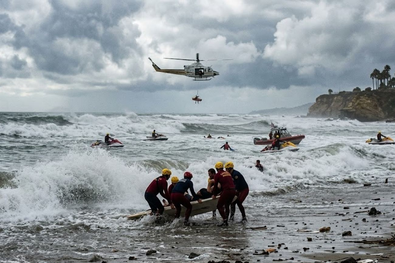
Image generated by AI
Distant Storm Generates Localized Coastal Peril
Hurricane Marie demonstrates that a tropical system does not need to make landfall to destabilize a tourism destination. While the storm center remains hundreds of miles from the California coast, it has generated powerful, long-period swells that have intensified beach hazards across the region.
The National Weather Service (NWS) Los Angeles/Oxnard office has issued both a High Surf Advisory and a Coastal Flood Advisory, both effective through Tuesday evening. These warnings highlight a critical gap in traveler perception: many visitors track the center of a storm to assess risk, ignoring the ocean swells that travel vast distances to create dangerous conditions.
The impact is concentrated across several key areas:
- Los Angeles County: Forecasted surf between five and eight feet, with local sets reaching 12 feet, specifically on south-facing beaches.
- Ventura County: Facing similar high surf and high-risk rip currents.
- Santa Barbara and San Luis Obispo: Currently under a Beach Hazards Statement.
Multiple Hazards Converge on Holiday Coastline
The current threat is a compound event where large surf, rising water levels, and heavy rainfall intersect. South-facing beaches are the most exposed due to the direction of the incoming swell, increasing the likelihood of coastal flooding in low-lying parking areas and access roads.
Beyond the physical power of the waves, water quality has plummeted. Long Beach has implemented a three-day swimming advisory following significant rainfall. This is a precautionary measure to protect the public from contaminated runoff flowing through storm drains and rivers into the bay.
For international tourists and families, these conditions are deceptive. A beach may appear tranquil from a promenade, while lethal rip currents operate beneath the surface, and waves can surge much further inland than typical Pacific conditions suggest.
Emergency Response and Infrastructure Strain
The human cost of these conditions became evident over the Labor Day holiday weekend. Newport Beach Fire Department lifeguard battalion chief Adam Yacenda reported that lifeguards conducted 177 rescues on Saturday alone.
In the context of beach safety, any day with over 100 rescues is considered extreme. This surge in emergency interventions underscores the difference between "accessibility" and "usability." While hotels and beachfront restaurants remain open, the primary attraction—the ocean—has become a hazard.
Coastal Risk Summary
| Coastal Risk | Current Situation | Traveller Impact |
|---|---|---|
| Surf | 5–8 feet; local sets up to 12 feet | Shoreline activities are hazardous |
| Rip Currents | High risk across Southern CA | Strong swimmers risk being swept offshore |
| Coastal Flooding | Advisory active through Tuesday evening | Flooding of roads, paths, and parking |
| Rainfall | Tropical moisture affecting the region | Outdoor itineraries may face delays |
| Runoff | Increased post-rainfall | Water-contact activities potentially unsafe |
| Beach Erosion | Elevated surf accelerating loss | Unstable access points and exposed areas |
Key Takeaways
- Swell vs. Landfall: Hurricane Marie proves that distant storms can create life-threatening surf and rip currents without hitting the coast.
- Critical Data: 177 rescues in Newport Beach on a single Saturday highlight the severity of the current conditions.
- Health Risks: Rainfall has triggered water-quality advisories in Long Beach, making swimming unsafe due to runoff.
- Regional Scope: Warnings extend from Los Angeles and Ventura counties up to San Luis Obispo.
FAQ
Does Hurricane Marie make landfall in California? No. The storm is expected to die out without making landfall, but its energy is driving dangerous swells toward the shore.
Which beaches are most at risk? South-facing beaches are particularly exposed to the incoming swell and are more prone to coastal flooding.
Is it safe to visit the beach if I don't plan to swim? While promenades and businesses remain open, visitors should be cautious of coastal flooding in parking areas and unstable terrain caused by beach erosion.
Related Travel Guides
Disclaimer
This article is for informational and educational purposes only. It does not constitute legal, financial, or professional advice. While we strive to provide accurate and up-to-date information, travel policies, regulations, and conditions change rapidly. Always verify information with official sources before making travel decisions. Nomad Lawyer makes no representations about the accuracy, reliability, completeness, or suitability of the information provided. Readers should consult qualified professionals for advice specific to their circumstances. The views expressed in this article are those of the author and do not necessarily reflect the views of Nomad Lawyer.
Raushan Kumar
Founder & Lead Developer
Full-stack developer with 11+ years of experience and a passionate traveller. Raushan built Nomad Lawyer from the ground up with a vision to create the best travel and law experience on the web.
Learn more about our team →