
Yosemite Helicopter Crash Kills Two Firefighters as California’s Dome Fire Threatens Visitor Access
Yosemite Helicopter Crash Kills Two Firefighters as California’s Dome Fire Threatens Visitor Access

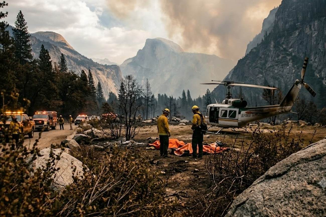
Image generated by AI
The Dome Fire expanded from 100 acres on September 15 to 3,222 acres by September 21—a 3,122% increase in just six days. This rapid escalation underscores a volatile pattern in Western US wildfire behavior where "spotting" and heavy fuel loads accelerate spread faster than ground crews can establish containment lines.
The Dome Fire in Numbers: Rapid Escalation and Operational Loss
The data from the Dome Fire incident reveals a trajectory of aggressive growth that strained aerial and ground resources. On September 15, the fire was a localized event of approximately 100 acres near Chilnualna Falls. By September 21, the footprint had expanded to 3,222 acres. The speed of this growth is evident in the personnel deployment: staffing levels rose from 187 personnel on September 17 to 581 personnel by September 21, representing a 210% increase in manpower over a 96-hour window.
Containment efforts hit a plateau at 15%, a figure that remained stagnant from September 19 through September 21, despite the addition of 84 personnel to the lines. This stagnation suggests that the rugged terrain and "heavy fuels" mentioned by the National Park Service created a situation where the rate of fire spread outpaced the rate of containment.
The human cost of this operational pressure peaked on September 20 at 2:55 p.m. local time. A Eurocopter AS32, operated by Precision Helicopters (Flyprecision) and contracted to the Price Valley Rappel Crew from Idaho, crashed near Mariposa, California. The accident resulted in the deaths of both pilots aboard, including Greg King. This event highlights the extreme risk profile of aerial firefighting, which requires low-altitude maneuvering in smoke-filled environments with unpredictable wind shifts.
Comparative Operational Context: Aviation Risks and Fire Growth
When comparing the Dome Fire to historical wildfire patterns in the Sierra Nevada region, the reliance on aviation becomes a primary data point. On September 19, the National Park Service utilized nine helicopters for water drops and crew transport. According to IATA, aviation safety in specialized sectors—such as emergency response—is subject to higher volatility due to environmental stressors. In Yosemite, the elevation changes and steep slopes make ground access nearly impossible for certain sectors, shifting the burden of suppression to the air.
The following table tracks the acceleration of the Dome Fire against resource allocation:
| Date | Fire Size (Acres) | Containment % | Personnel Assigned | Growth Delta (Acres) |
|---|---|---|---|---|
| Sept 15 | 100 | Not stated | Not stated | Baseline |
| Sept 17 | 1,177 | 0% | 187 | +1,077 |
| Sept 18 | 1,977 | 10% | 386 | +799 |
| Sept 19 | 2,335 | 15% | 497 | +358 |
| Sept 20 | 2,667 | 15% | 525 | +332 |
| Sept 21 | 3,222 | 15% | 581 | +555 |
The data shows that while personnel numbers increased linearly, the fire's growth remained non-linear, particularly between September 15 and 17. The movement of the fire into the 2017 Empire Fire footprint provides a critical data point for fire behavior analysts; while previous burn areas can act as fuel breaks, the presence of "dead and down fuels" often allows fires to leap across these boundaries, a phenomenon that likely contributed to the 555-acre jump between September 20 and 21.
Practical Traveler Advisory and Strategic Insights
For those visiting Yosemite or planning trips to California's National Parks during the fire season, the "open overall" status of a park is a deceptive metric. The Dome Fire demonstrates that a park can remain operational while significant corridors are severed.
If you are planning a visit during the Q3 or Q4 window, the following data-driven adjustments are necessary:
- Route Redundancy: The closure of the Chilnualna Falls Trail and routes toward Buena Vista and Crescent Lakes means that specific itinerary legs are now impossible. Travelers must check the National Park Service's real-time closure maps daily, as the 15% containment rate indicates a high probability of further boundary shifts.
The recent Yosemite helicopter crash has raised concerns about visitor safety in the area, with the California Department of Parks and Recreation issuing warnings and updates on the Dome Fire. As the fire continues to spread, tourists are advised to check the official website for the latest information on park closures and access restrictions. The incident has also prompted an investigation into the cause of the crash, with officials working to ensure that such tragedies are prevented in the future. 2. Visibility and Health Metrics: Smoke and visibility issues are currently affecting the visitor experience. Travelers with respiratory sensitivities should monitor the Air Quality Index (AQI) via Statista or government sensors before entering the Mariposa or Wawona regions. 3. Safety Hazards: The "safety closure" areas are not just about active flames. The data on "falling branches, dead standing trees, and stump holes" indicates that even in areas where the fire has passed, the risk of injury remains high. Avoid any unauthorized "off-trail" exploration in the Wawona Road corridor between Chinquapin and Wawona.
Forward Projection: The Future of Aerial Suppression
Based on US Forest Service research from 2026 regarding aerial response times, the industry is moving toward a more data-centric deployment model. The Yosemite crash will likely trigger a review of the "operational pressure" vs. "risk tolerance" ratio for contracted crews. As wildfire seasons become longer and more intense, the reliance on contracted aviation—such as the Price Valley Rappel Crew's assets—will increase.
We expect to see a shift toward increased autonomous or remotely piloted aircraft for reconnaissance to reduce the "low-level flying" risks associated with smoke and mountainous terrain. The current trajectory suggests that federal firefighting expenditure will continue to shift toward aviation as ground-based suppression becomes less effective against "heavy fuel" fires in steep terrain.
FAQ: Yosemite Dome Fire Aviation [2024/2025]
Will park entrance fees or access be restricted? No. As of September 21, Yosemite remains open overall. However, specific trails like Chilnualna Falls are closed. Always verify the specific zone of your visit via the NPS portal before arriving.
Is it safe to visit the Wawona area? Exercise extreme caution. While the park is open, the area east of Wawona Road between Chinquapin and Wawona is under safety restrictions due to fire-related hazards like falling dead trees and hot ash.
Which aircraft were involved in the suppression? The fatal accident involved a Eurocopter AS32. The broader fleet included nine helicopters used for water drops, equipment movement, and crew transportation.
How does the fire impact the Yosemite Valley? The Valley remains open, but visitors should expect degraded air quality and reduced visibility due to smoke drifting from the Dome Fire site.
When containment plateaus while acreage climbs, the risk shifts from the ground to the air.
Related Travel Guides
Disclaimer
This article is for informational and educational purposes only. It does not constitute legal, financial, or professional advice. While we strive to provide accurate and up-to-date information, travel policies, regulations, and conditions change rapidly. Always verify information with official sources before making travel decisions. Nomad Lawyer makes no representations about the accuracy, reliability, completeness, or suitability of the information provided. Readers should consult qualified professionals for advice specific to their circumstances. The views expressed in this article are those of the author and do not necessarily reflect the views of Nomad Lawyer.
Naina Thakur
Contributor & Travel Specialist
Travel enthusiast and legal writer covering visa regulations, responsible tourism, and cultural journeys across global destinations.
Learn more about our team →