
US Wildfires Force Evacuations and Disrupt Outdoor Tourism
Almost 100 wildfires have burned over 3 million acres across western U.S. states including California, Oregon, and Washington, disrupting tourism.
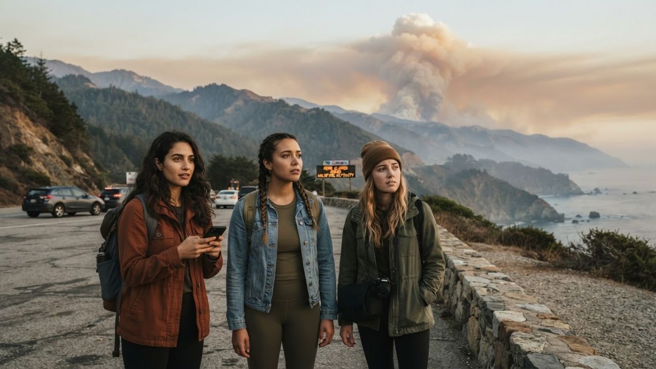
Image generated by AI
Burning over 3 million acres and triggering evacuations across western states, almost 100 active wildfires have placed United States outdoor tourism under severe strain.
The Core Transit Update
Regional road transit corridors and national wilderness park networks are managing emergency restrictions. An active wildfire emergency across the western United States has led to route closures and community evacuations.
Over 3 million acres of forest and wilderness have burned across states including California, Oregon, Washington, Idaho, Montana, Wyoming, Nevada, and Utah. Firefighters and emergency air support teams are defending popular destinations—ranging from California's Big Sur coastline along Highway 1 to the Yellowstone and Glacier national park regions—where heavy smoke drift and trail closures have forced travelers to cancel holiday itineraries.
Regional Fire Impacts & Business Disruption
Navigating fire zones requires tracking active closures and understanding the financial impact on rural hospitality. The following tables outline the wildfire impacts across western states and the business risk profiles for the tourism sector.
| Affected U.S. State | Key Affected Destinations / Zones | Immediate Operational Challenge | Primary Tourism Risk Profile |
|---|---|---|---|
| California | Big Sur, Highway 1, Sierra Nevada | Evacuation alerts & route closures | Coastal & mountain road trip routes |
| Oregon | Crater Lake, Mount Hood, Bend | Visibility drops & forest closures | Camping, hiking, & national parks |
| Washington | Spokane County, Lake Chelan, Cascades | Community evacuations & smoke | Nature-based & lakeside recreation |
| Idaho | Sawtooth Mountains, Boise Forest | Air quality alerts & access bans | Wilderness adventure & rafting |
| Montana & Wyoming | Glacier region, Yellowstone region | Trail closures & wildlife limits | Backcountry exploring & park drives |
| Nevada & Utah | Great Basin, mountain parks | Reduced visibility & smoke drift | Desert hiking & recreation zones |
U.S. wildfire distribution and regional tourism impacts (August 2026).
| Affected Tourism Segment | Primary Wildfire Threat Factor | Expected Economic Impact | Recommended Travel Action |
|---|---|---|---|
| Hotels & Resorts | Evacuation mandates & road closures | Increased booking cancellations | Verify refund policies before travel |
| Tour Operators | Smoke exposure & outdoor activity bans | Lost revenue / cancelled bookings | Confirm safety protocols and alerts |
| Campgrounds & Parks | Wildfire containment lines & dry brush | Immediate closures & booking losses | Monitor national park services sites |
Rural tourism sector wildfire impacts and traveler guidelines.
Traveler Logistics Guide
From a ground-level perspective, the best way to navigate this is to monitor the active incident maps on InciWeb and cross-reference road closure databases before driving into mountain or forest corridors, as fire boundaries can shift rapidly due to wind gusts. Checking local air quality index (AQI) ratings is recommended.
To plan your trip during wildfire alerts:
- Allow Flexible Routing: Keep alternative highways mapped in case mountain passes or scenic coastal routes like California's Highway 1 are closed to non-emergency traffic.
- Observe Fire Restrictions: Campgrounds across Oregon's Deschutes National Forest and Washington's Colville Forest have strict bans on open flames and charcoal grills.
- Verify Booking Refunds: Small lodges and adventure operators near parks like Crater Lake or Glacier may wave booking change fees during evacuation orders. Check their policies.
- Protect Personal Health: Heavy smoke can travel hundreds of miles. Carry N95 masks, check indoor filtration options, and limit outdoor activities when AQI levels exceed safe limits.
Infrastructure Impact Assessment
The coordination of ground firefighting crews, water-dropping aircraft, and emergency services helps protect life and preserve scenic travel routes.
By managing evacuations, securing national park boundaries, and updating highway warning signs, emergency personnel reduce traveler bottlenecks, prevent gridlocks on rural roads, and maintain a focus on long-term safety across western recreation regions.
Related Travel Guides
Virtual Reality Tourism Boom Helps Travelers Inspect Destinations
Shravani Mela 2026 Deoghar Travel Tips and Logistics Guide
10 Best Travel Tips for Tracking Wildfire Closures, Navigating Road Delays, and Inspecting National Park Safety Updates in the Western US, According to Reddit
Disclaimer
This article is for informational and educational purposes only. It does not constitute legal, financial, or professional advice. While we strive to provide accurate and up-to-date information, travel policies, regulations, and conditions change rapidly. Always verify information with official sources before making travel decisions. Nomad Lawyer makes no representations about the accuracy, reliability, completeness, or suitability of the information provided. Readers should consult qualified professionals for advice specific to their circumstances. The views expressed in this article are those of the author and do not necessarily reflect the views of Nomad Lawyer.