
UK Travel Alert: Sudden Cold Snap and Frost Risks Hit Britain After Heatwave in August 2026
Britain faces a dramatic weather reversal as temperatures plummet to -0.2C, bringing frost and fog to rural areas before a predicted surge back to 29C.

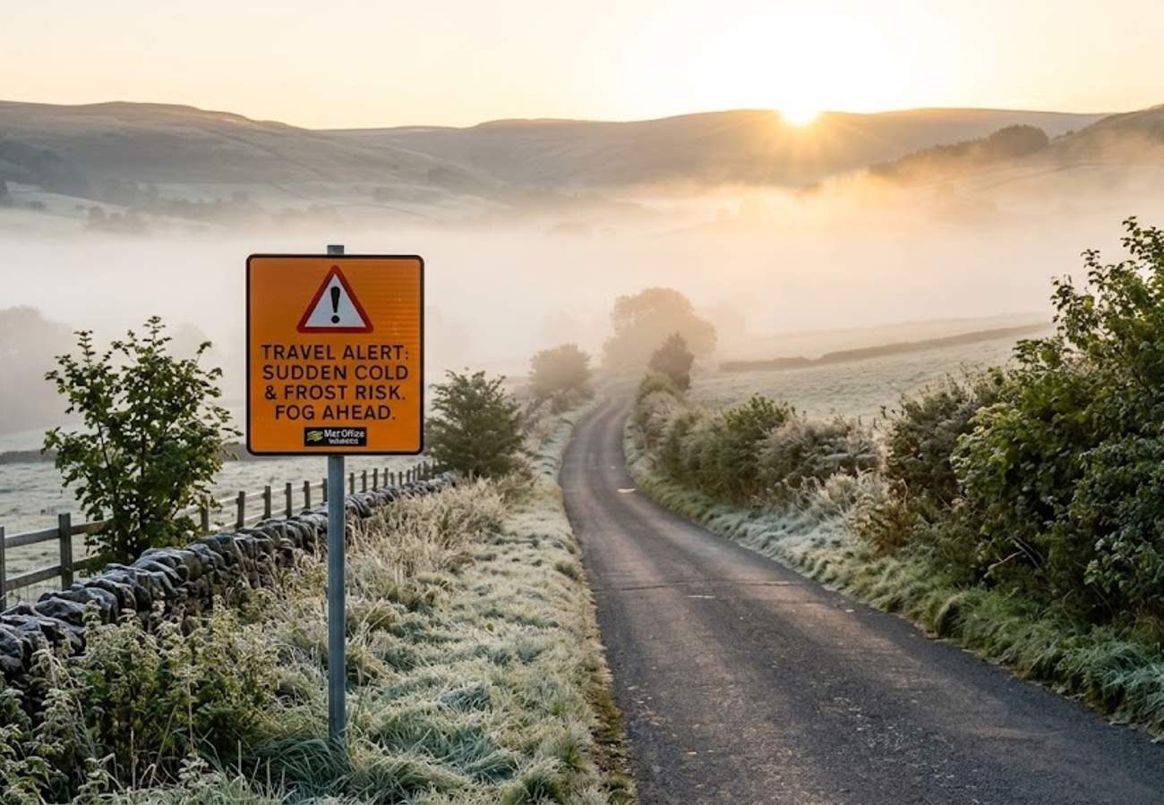
Image generated by AI
Britain is currently grappling with a violent atmospheric shift as a sudden cold snap replaces a recent heatwave, sending temperatures plummeting to -0.2C in several regions. This abrupt reversal has triggered travel alerts across the country, with the Met Office warning of frost, dense fog, and autumn-like conditions that could disrupt outdoor activities and rural transit.
The transition has been jarring for residents and visitors alike, as the UK moves from extreme summer heat to sub-zero overnight lows in a matter of days. While urban centers are maintaining slightly higher temperatures, the rural landscape is seeing a return to conditions typically reserved for late September or October.
Northerly Breezes Drive Temperatures to -0.2C Across Britain
The current meteorological instability is being fueled by a persistent northerly breeze that has stripped away the residual warmth of the previous heatwave. This wind chill is particularly acute along the UK's exposed coastal fringes, where the perceived temperature is significantly lower than the actual thermometer reading.
According to data from the Met Office, overnight temperatures have dipped as low as -0.2C. This sharp decline has created a stark contrast between the daytime highs, which remain near seasonal averages, and the freezing nights.
Regional temperature variations are evident across the British Isles:
- Cumbria and South Wales: Temperatures are expected to hover around 2C.
- Northern Scotland: Lows are forecasted to reach approximately 5C.
- Urban Centers: Major cities are remaining warmer, with overnight lows staying closer to 11C due to the "urban heat island" effect, where concrete and infrastructure retain heat.
Rural Frost and Visibility Hazards in the Countryside
While city dwellers may only notice a slight chill, those in rural communities, valleys, and sheltered landscapes are facing more severe conditions. The Met Office has highlighted a significant risk of frost and the development of thick patches of mist and fog, especially during the early morning hours.
These conditions present a dual challenge for travelers: the physical cold and reduced visibility. Open landscapes, hills, and farmland are experiencing a rapid seasonal shift, creating a distinctly autumnal atmosphere. For those navigating rural roads or engaging in outdoor excursions, the sudden appearance of fog can create hazardous driving conditions and complicate navigation.
This volatility underscores the unpredictable nature of the British climate, where the leap from a heatwave to near-freezing temperatures happens with startling speed.
Recovery Forecast and the Return of Warmer Air
The current chill is expected to be a transient event. Forecasters indicate that the temperature recovery process will begin on Sunday, which is predicted to be drier and more settled than the preceding days.
Looking ahead to next week, a gradual warming trend is anticipated. Starting Monday, warmer air masses are expected to move back across the UK, lifting overnight lows and increasing daytime highs. However, this return to warmth is not expected to be stable.
Meteorologists warn that the upcoming period will be characterized by "changeable" weather. This means that while the mercury will rise, the stability of the previous heatwave will be absent, replaced by a mix of sunshine and variable cloud cover.
Thunderstorm Risks and Unsettled Weather Patterns
The transition from a cold snap back to warmer temperatures often creates atmospheric instability. The Met Office has warned that from Tuesday onwards, the weather is likely to become significantly more unsettled.
As warmer air clashes with cooler remnants, weather systems are expected to push northwards, bringing a high probability of:
- Isolated Showers: Particularly prevalent along northern coastal regions.
- Thunderstorms: The combination of rising heat and increased moisture in the atmosphere creates a prime environment for electrical storms.
- Prolonged Rainfall: Some regions may experience extended periods of rain as these fronts move through.
For travelers, this means the coming week will require high flexibility, as a sunny morning could quickly transition into a heavy thunderstorm by the afternoon.
WXCharts Predicts Potential Surge to 29C in Southern England
While the official Met Office outlook focuses on unsettled conditions, alternative forecasting models suggest a more dramatic return to summer heat. Data from WXCharts indicates that southern England could see a significant temperature spike.
According to these models, temperatures could climb as high as 29C by Wednesday. If this forecast holds, the UK will have experienced a full cycle of heatwave, cold snap, and heat surge within a very short window. This extreme variance places additional stress on travel infrastructure and requires visitors to pack for multiple seasons simultaneously.
Summary of Temperature Fluctuations (August 2026)
| Region | Cold Snap Low | Predicted Recovery (Next Week) | Potential Peak (WXCharts) |
|---|---|---|---|
| Southern England | ~11C (Urban) | Rising from Monday | 29C (Wednesday) |
| Cumbria / S. Wales | 2C | Gradual Increase | Seasonal Average |
| Northern Scotland | 5C | Gradual Increase | Seasonal Average |
| Rural Highs/Valleys | -0.2C | Gradual Increase | Seasonal Average |
Why This Matters: The Impact on Modern Travel
For the traveler, this sequence of weather events is more than just a curiosity; it is a logistical challenge. The rapid oscillation between -0.2C and 29C means that standard "summer" packing lists are insufficient. From a health and safety perspective, the sudden drop in temperature can lead to increased respiratory issues for vulnerable travelers and a surge in road accidents due to unexpected morning frost and fog.
Logistically, the threat of thunderstorms following the warm-up suggests potential disruptions to domestic flight paths and rail networks, which are often sensitive to extreme electrical activity and flash flooding. Travelers should prioritize real-time weather monitoring over long-term forecasts, as the current atmospheric volatility makes 7-day predictions less reliable.
Britain's weather continues to defy expectations, proving that in 2026, a winter coat and a swimsuit are both essential for a single trip.
Related Travel Guides
Disclaimer
This article is for informational and educational purposes only. It does not constitute legal, financial, or professional advice. While we strive to provide accurate and up-to-date information, travel policies, regulations, and conditions change rapidly. Always verify information with official sources before making travel decisions. Nomad Lawyer makes no representations about the accuracy, reliability, completeness, or suitability of the information provided. Readers should consult qualified professionals for advice specific to their circumstances. The views expressed in this article are those of the author and do not necessarily reflect the views of Nomad Lawyer.
Kunal K Choudhary
Co-Founder & Contributor
A passionate traveller and tech enthusiast. Kunal contributes to the vision and growth of Nomad Lawyer, bringing fresh perspectives and driving the community forward.
Learn more about our team →