
UK Travel Alert Heavy Rain Storm Set to Hit 65 Areas as Weather Maps Reveal Major Rainfall Shift Across Britain
UK Travel Alert Heavy Rain Storm Set to Hit 65 Areas as Weather Maps Reveal Major Rainfall Shift Across Britain

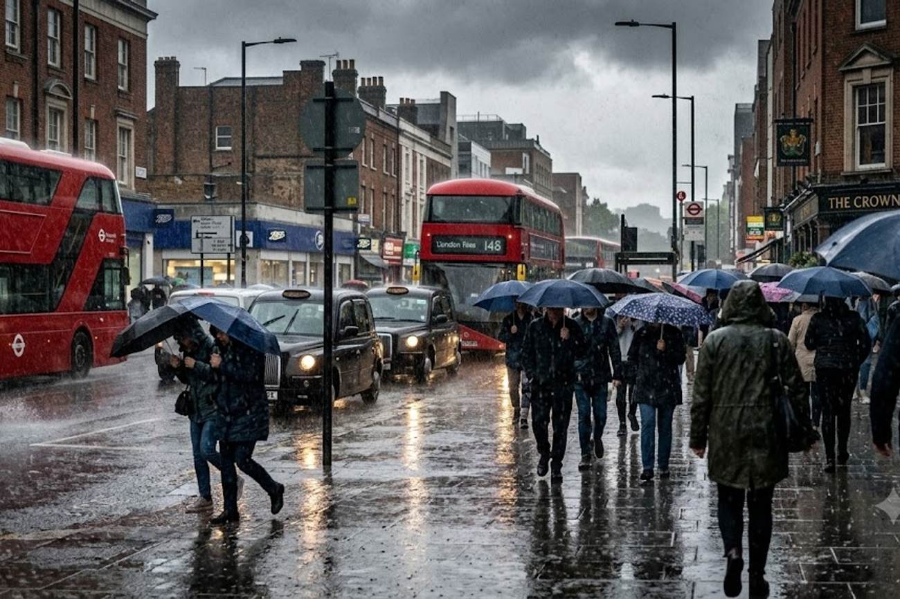
Image generated by AI
[London, September 2025] — A powerful weather system is sweeping across the United Kingdom, bringing heavy rainfall to 65 distinct areas and triggering widespread travel alerts across England, Scotland, Wales, and Northern Ireland. The system marks a violent transition from late-summer warmth to unsettled autumn conditions, with a broad band of precipitation expected to disrupt transport networks and outdoor operations.
The weather front is scheduled to impact the region between Friday, September 25, and Saturday, September 26. According to meteorological data, the system will originate in southwestern Ireland before pushing east across the British Isles. While some regions experienced temperatures as high as 26C recently, this new system will replace the dry spell with persistent showers and cooler temperatures, affecting major urban centers and rural corridors alike.
The Atmospheric Trigger
The immediate cause of this disruption is a large-scale rain band moving rapidly from the west. This atmospheric shift is categorized as a seasonal transition, effectively ending the period of unusually warm late-summer weather. The system is characterized by its breadth, stretching from the Atlantic coast of Ireland toward the eastern shores of England.
The movement of the front is timed with precision: western regions will feel the first impacts by 7:00 AM on Friday, September 25. By midday, the concentration of rainfall will shift toward the Midlands and Northern England. The system is expected to maintain its intensity through the night, eventually reaching East Anglia by the early hours of Saturday, September 26.
Regional Impact Zones
The following table details the 65 areas across the four nations expected to experience significant rainfall and potential travel disruptions.
| Nation | Impacted Regions and Cities |
|---|---|
| Northern Ireland | Antrim, Armagh, Down, Fermanagh, Londonderry, Tyrone |
| Scotland | Argyll and Bute, Angus, Dumfries and Galloway, Edinburgh, Glasgow, Highland, Moray, Perthshire, Stirling, Western Isles |
| Wales | Cardiff, Bridgend, Carmarthenshire, Ceredigion, Gwynedd, Monmouthshire, Pembrokeshire, Powys, Swansea, Vale of Glamorgan, Neath Port Talbot |
| England | Bedfordshire, Berkshire, Buckinghamshire, Cambridgeshire, Cheshire, Cornwall, Cumbria, Derbyshire, Devon, Dorset, East Sussex, Gloucestershire, Greater Manchester, Hampshire, Hertfordshire, Kent, Lancashire, Leicestershire, Lincolnshire, London, Manchester, Merseyside, Northamptonshire, Nottinghamshire, Oxfordshire, Plymouth, Shropshire, Somerset, South Yorkshire, Staffordshire, Suffolk, Surrey, Warwickshire, West Midlands, West Yorkshire, Wiltshire, Worcestershire |
Practical Traveler Advisory and Strategic Insights
For passengers and commuters, this weather shift translates to immediate operational risks. While the Met Office typically provides the primary warnings for such events, travelers should prepare for the following real-world impacts:
1. Aviation and Airport Logistics Heavy rainfall and associated cloud cover often lead to reduced visibility and potential ground handling delays. Passengers flying into or out of major hubs—specifically those in Greater Manchester, London, and Glasgow—should monitor their flight status closely. While heavy rain rarely shuts down an airport, the resulting congestion on access roads can lead to missed departures.
2. Road and Rail Transit The sheer volume of affected areas (65 in total) suggests a high probability of surface water flooding on primary A-roads and motorways. Commuters in the West Midlands and Northern England should anticipate slower transit times during the Friday midday peak. Rail operators may implement speed restrictions in areas prone to flooding or debris on the tracks, particularly in the Scottish Highlands and the Welsh valleys.
3. Outdoor and Tourism Operations The sudden drop from 26C to unsettled autumn conditions will likely force the cancellation or rescheduling of outdoor events. Tourists visiting coastal communities in Cornwall, Devon, or the Western Isles should expect significant disruptions to ferry services and sightseeing excursions.
Transition to Autumn Outlook
The current rain band is not an isolated event but the beginning of a broader climatic shift. Forecasts indicate that this unsettled pattern will persist into early October. While the southern and eastern quadrants of the UK may see brief windows of stability lasting several days, the general trend points toward cooler, more unpredictable weather.
Regulatory bodies and transport authorities are advising a heightened state of vigilance. The transition from summer warmth to autumn wetness often coincides with increased road accidents due to "greasy" road surfaces and reduced visibility. Travelers are urged to utilize official channels, such as the National Rail portal or the UK Government's travel advice, to verify route availability before departing.
The volatility of the current system means that local conditions can change within minutes. For example, while southwestern England may remain dry on Friday morning, the rain band is forecast to hit that specific region with intensity by 10:00 PM Friday night.
FAQ: UK Weather Disruptions 2025
Which cities will be most affected by the rain on Friday? Greater Manchester, London, Glasgow, and Cardiff are among the major urban centers in the path of the rain band. The heaviest impact is expected in the Midlands and Northern England by midday Friday.
Will the rain affect travel into Saturday morning? Yes. The system is forecast to move southeast, reaching East Anglia and maintaining wet conditions across the Midlands and southwest England through the early hours of Saturday, September 26.
How much will temperatures drop? The UK is moving away from a peak of 26C. While specific low-end figures weren't provided, the shift is described as a transition to "cooler and unsettled" autumn conditions.
Should I expect flight cancellations? Widespread cancellations are not currently predicted, but passengers should check with their airlines for potential delays caused by reduced visibility or ground congestion at major UK airports.
Prepare for a wet weekend as the British summer officially yields to autumn.
Related Travel Guides
- US Issues Urgent Regional Security Warning on Middle East After Houthi Strikes
- Jamaica Travel Faces Extreme September Heat as Kingston Records Severe Humidity Conditions
- Greece Aligns With Slovenia And More Countries As Germany Issues New Travel Advisory Covering Demonstrations Safety Alerts And Entry Rules
Disclaimer
This article is for informational and educational purposes only. It does not constitute legal, financial, or professional advice. While we strive to provide accurate and up-to-date information, travel policies, regulations, and conditions change rapidly. Always verify information with official sources before making travel decisions. Nomad Lawyer makes no representations about the accuracy, reliability, completeness, or suitability of the information provided. Readers should consult qualified professionals for advice specific to their circumstances. The views expressed in this article are those of the author and do not necessarily reflect the views of Nomad Lawyer.
Kunal K Choudhary
Co-Founder & Contributor
A passionate traveller and tech enthusiast. Kunal contributes to the vision and growth of Nomad Lawyer, bringing fresh perspectives and driving the community forward.
Learn more about our team →