
Tropical Storm Edouard Triggers Flash Flood Emergencies and Travel Chaos Across Texas and Mexico 2026
Tropical Storm Edouard has unleashed catastrophic rainfall of up to 21 inches across southeastern Texas, causing widespread flash flooding, city-wide closures in Beaumont, and severe travel disruptions across the US Gulf Coast.

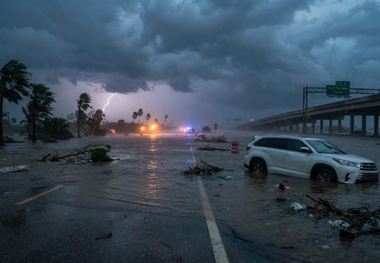
Image generated by AI
Tropical Storm Edouard has paralyzed travel across the US Gulf Coast, triggering Flash Flood Emergencies in Texas and causing systemic closures of municipal services in major hubs like Beaumont.
The storm made landfall near Johnsons Bayou, Louisiana, at 2:20 p.m. CDT on September 1, 2026, with maximum sustained winds of 60 mph. While the initial impact was coastal, the storm's movement inland transformed it into a severe hydrological event. Torrential rain bands pushed deep into southeastern Texas, leaving a trail of infrastructure damage and impassable roadways.
For travelers and logistics operators, the crisis shifted from wind concerns to catastrophic flooding. Rainfall totals in Hardin and Tyler counties reached between 10 and 21 inches, with some areas recording rainfall rates of 1 to 5 inches per hour.
Critical Storm and Flooding Metrics
The scale of Edouard's impact is evidenced by the following government-confirmed data:
- Landfall Location: Johnsons Bayou, Louisiana (September 1, 2:20 p.m. CDT).
- Peak Wind Gusts: 71 mph recorded at Texas Point, Texas.
- Maximum Sustained Winds: 60 mph at landfall; 57 mph at Texas Point.
- Extreme Rainfall: 10–21 inches reported in Flash Flood Emergency areas (Hardin and Tyler counties).
- Rainfall Intensity: 2–3+ inches per hour near the strongest bands in southeast Texas.
- River Levels: Village Creek near Kountze forecast to crest at 23.3 feet, significantly exceeding the 17-foot flood stage.
- Storm Trajectory: Positioned 10 miles northwest of Beaumont by 7 p.m. CDT (Sept 1) and 125 miles northwest of Beaumont by 10 a.m. CDT (Sept 2).
Regional Impact and Infrastructure Failures
The storm's path created a high-risk corridor extending from the Louisiana border deep into East Texas. Beaumont became a primary epicenter of disruption; by September 2, the city announced the closure of multiple essential facilities due to power outages. Affected sites include the Municipal Court, public health services, recreation and event facilities, and Beaumont Animal Care.
Port Arthur, situated approximately 15 miles from the landfall point, faced a direct hit. At 4 p.m. CDT on September 1, the storm center was just five miles west of the city, combining storm-surge risks with heavy inland precipitation.
Impact Zone Breakdown by Community
| City / Community | State | Impact / Government Warning |
|---|---|---|
| Beaumont | Texas | Storm center passage; power outages; city-service disruptions |
| Port Arthur | Texas | Direct landfall corridor; tropical-storm and coastal hazards |
| Kountze | Texas | Flash Flood Emergency; 10–21 inches of rain |
| Village Mills | Texas | Flash Flood Emergency |
| Honey Island | Texas | Flash Flood Emergency |
| Nacogdoches | Texas | Inland flooding threat (East Texas) |
| Lufkin | Texas | Proximity to storm center (40 miles WNW on Sept 2) |
| Orange / Bridge City | Texas | Severe flood-watch area |
| Nederland / Vidor | Texas | Tropical-storm and flood warning area |
| Silsbee / Lumberton | Texas | Tropical-storm warning area |
Why This Matters: Analysis of the Gulf Coast Travel Shock
From a logistical perspective, Tropical Storm Edouard highlights a critical trend in 2026 weather patterns: the "inland shift" of danger. While wind speeds of 60 mph are manageable for most modern infrastructure, the associated rainfall volume—up to 21 inches—is what creates the actual travel "shock."
For travelers on these routes, the real impact is not the storm itself, but the secondary failure of the road network. In southeastern Texas, "urban flash flooding" means that while a destination city may technically be open, the arterial roads leading into it become impassable. This creates "island effects" where travelers are stranded in safe zones with no viable exit routes.
Our analysis of the movement from Johnsons Bayou toward Lufkin suggests that the saturated soil in East Texas exacerbated the river cresting (such as Village Creek), meaning floodwaters will linger long after the winds subside. Travelers should not resume movement based on the storm's departure, but rather on the recession of river levels.
Forward Outlook
The immediate focus for the region is now recovery and debris removal. In Beaumont, the extension of storm debris collection indicates a prolonged recovery phase. Travelers should expect:
- Continued Road Closures: Localized flooding in Hardin and Tyler counties will likely persist until river levels drop below flood stage.
- Service Volatility: Public health and municipal services in Beaumont may experience staggered reopenings as power grids stabilize.
- Transit Delays: Expect significant delays on highways connecting the Upper Texas coast to the interior of East Texas.
Travelers are advised to prioritize flood alerts over wind forecasts when planning movement through the Gulf Coast.
Related Travel Guides
Disclaimer
This article is for informational and educational purposes only. It does not constitute legal, financial, or professional advice. While we strive to provide accurate and up-to-date information, travel policies, regulations, and conditions change rapidly. Always verify information with official sources before making travel decisions. Nomad Lawyer makes no representations about the accuracy, reliability, completeness, or suitability of the information provided. Readers should consult qualified professionals for advice specific to their circumstances. The views expressed in this article are those of the author and do not necessarily reflect the views of Nomad Lawyer.
Kunal K Choudhary
Co-Founder & Contributor
A passionate traveller and tech enthusiast. Kunal contributes to the vision and growth of Nomad Lawyer, bringing fresh perspectives and driving the community forward.
Learn more about our team →