Tropical Storm Boris Pushes Inland Over Mexico as Cristina Threatens Central America With Catastrophic Flooding
Two tropical systems unleash torrential rainfall across Mexico and Central America, threatening millions of travelers with flooding, mudslides, and major transport disruptions.
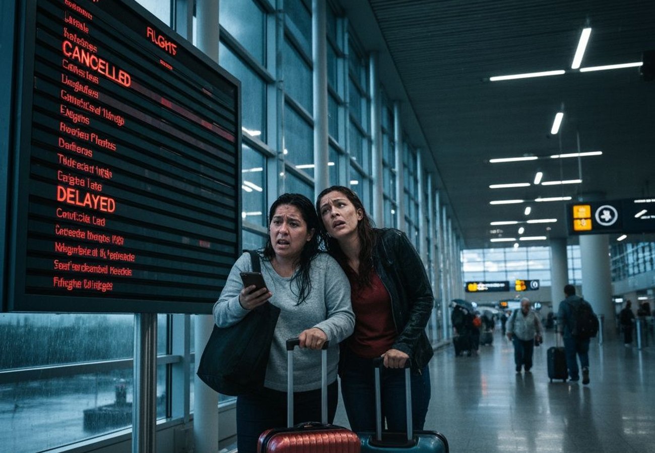
Image generated by AI
Two Tropical Systems Converge on Central America in Historic Double Threat
Tropical Storm Boris has pushed deep inland over southwestern Mexico while Tropical Storm Cristina intensifies near the Pacific coast of Central America—and the combined threat is rapidly reshaping travel patterns across the entire region. What started as two separate weather systems has evolved into a dual catastrophe scenario that could displace millions and cripple transportation networks for days.
The convergence of these systems is no accident. Both are drawing moisture from the unusually warm eastern Pacific basin, where sea surface temperatures are running hotter than normal for June. The result: a region facing an unprecedented rainfall event that emergency authorities across Mexico, Guatemala, Honduras, El Salvador, and Nicaragua are treating with the highest alert status.
Reddit: "Just had to rebook my Mexico vacation three times. The tour operator says roads south of Acapulco are closed indefinitely." — r/travel
Boris Weakens But Delivers Its Deadliest Punch: Inland Flooding
Boris made landfall in southwestern Mexico as a relatively modest tropical storm, but here's the critical detail meteorologists are hammering home: the system's wind intensity never mattered as much as its moisture delivery. This is what separates dangerous tropical systems from catastrophic ones.
The storm's circulation remains poorly organized due to strong wind shear across the eastern Pacific, where northerly winds have scattered its thunderstorm activity away from its center. Counterintuitively, this disorganization doesn't reduce rainfall risk—it amplifies it. A weakened but moisture-laden system can dump torrential rain across a sprawling geographical footprint rather than concentrating damage in a narrow path.
Southern Mexico's mountainous terrain and river valleys are now the primary danger zones. When persistent downpours interact with steep hillsides already saturated from recent weather patterns, the results are predictable and devastating: flash floods in urban areas like Acapulco and surrounding communities, mudslides that sever road connections, and overwhelmed drainage infrastructure struggling to handle water volumes far exceeding design specifications.
Why Wind Shear Didn't Save Mexico From Catastrophic Rainfall
The meteorological explanation matters for travelers trying to understand why Boris remains dangerous despite weakening. Wind shear—the difference in wind speed and direction at various atmospheric levels—did indeed prevent the storm from organizing into a tightly wound, hurricane-strength system. That's actually worse for flood-prone regions.
Here's why: A strong, compact hurricane channels damage into a narrow corridor. A disorganized tropical storm spreads moisture across hundreds of miles. When Boris continues pulling vast quantities of moisture northward from the Pacific and dumps it across southern Mexico's complex terrain, individual towns can receive rainfall totals that are simply off the scale for what their infrastructure can handle.
The National Hurricane Center's latest projections show some areas could exceed 15 inches of rainfall in 24 hours—a volume that overwhelms even modern drainage systems designed for extreme weather.
Tropical Storm Cristina: The Secondary Threat That Could Prove Worse
While Boris slowly deteriorates inland, Tropical Storm Cristina is intensifying near Central America's Pacific coast. This system developed from broad areas of thunderstorms and has benefited from more favorable atmospheric conditions than Boris encountered. Cristina is tracking dangerously close to countries with some of the region's most vulnerable populations.
Guatemala, Honduras, El Salvador, and southern Mexico are all in Cristina's potential impact zone. The storm doesn't need to make direct landfall to inflict severe damage—tropical systems of Cristina's size affect communities hundreds of miles from their center through what meteorologists call "training bands" of rainfall, where repeated bands of thunderstorms march over the same locations for extended periods.
Forecast models suggest Cristina could produce rainfall totals exceeding 10-12 inches across the Pacific coastal regions of Central America, with some mountainous areas potentially receiving even more.
The Travel Crisis Unfolding Across Two Countries
Road closures are cascading across southern Mexico. The primary highway connections from Acapulco and other Pacific coast destinations are either closed or operating under severe restrictions. Bus services, which millions of Central American travelers depend on, have suspended operations across affected routes. Smaller airfields are reporting weather-related delays and cancellations.
In Central America, the situation is becoming increasingly critical. Guatemala's Pacific slope communities are preparing for the worst flooding event of the rainy season. Honduras and El Salvador are issuing evacuation orders for low-lying areas and areas prone to mudslides. Nicaragua's transportation ministry has pre-positioned resources in anticipation of likely road damage.
Tourism operators across the region are reporting a cascade of cancellations. Eco-tourism lodges in Costa Rica's cloud forest regions are closing preemptively. Beach resorts from Puerto Vallarta down through El Salvador are either closing temporarily or moving guests to higher ground within their facilities.
Eastern Pacific Heating Up: A Seasonal Pattern With Teeth
The unusual intensity of both Boris and Cristina reflects broader changes in the eastern Pacific basin. Sea surface temperatures are running 1-2 degrees Fahrenheit above the 30-year average for early June, providing fuel for tropical system development that normally wouldn't occur until later in the season.
Meteorologists are watching developing El Niño conditions, which influence atmospheric circulation patterns and can shift tropical cyclone activity across different ocean basins. Current models suggest the Atlantic hurricane season may be suppressed while the eastern Pacific sees above-average activity—exactly the conditions we're observing right now.
This isn't a one-off event. Climate monitoring agencies are flagging an increasing trend toward heavier rainfall events during tropical cyclone seasons across the western hemisphere.
What Travelers Need To Know Right Now
If you're planning travel to Mexico or Central America for the next 10 days, check real-time updates from the National Hurricane Center and local civil protection agencies before booking or confirming travel. Major airlines operating in the region have issued travel waivers allowing fee-free rebooking.
Ground transportation is the highest risk. Highways connecting major cities are subject to closure with minimal warning. If you're already in the region, stock essential supplies and avoid driving into affected areas.
The U.S. State Department and equivalent agencies from other nations have issued updated travel advisories for affected regions. Check your government's official travel advisory website before attempting overland or air travel.
Hotels and resorts in flood-prone coastal areas are implementing evacuation protocols. Confirm your accommodation's emergency procedures and elevation above potential flood zones. Many are offering complimentary room changes to higher floors or relocations to unaffected properties.
Two storms converging on the same region in June are rare—which is precisely why everyone from meteorologists to tourism operators is watching this scenario unfold with genuine alarm.
Related Travel Guides
Disclaimer
This article is for informational and educational purposes only. It does not constitute legal, financial, or professional advice. While we strive to provide accurate and up-to-date information, travel policies, regulations, and conditions change rapidly. Always verify information with official sources before making travel decisions. Nomad Lawyer makes no representations about the accuracy, reliability, completeness, or suitability of the information provided. Readers should consult qualified professionals for advice specific to their circumstances. The views expressed in this article are those of the author and do not necessarily reflect the views of Nomad Lawyer.

Raushan Kumar
Founder & Lead Developer
Full-stack developer with 11+ years of experience and a passionate traveller. Raushan built Nomad Lawyer from the ground up with a vision to create the best travel and law experience on the web.
Learn more about our team →