
New York State of Emergency 2026: Logistics Guide for NYC, Long Island, and Westchester Travel
Navigate the 2026 New York state of emergency with professional logistics advice on avoiding flooded parkways, managing LIRR and Metro-North delays, and airport survival strategies.

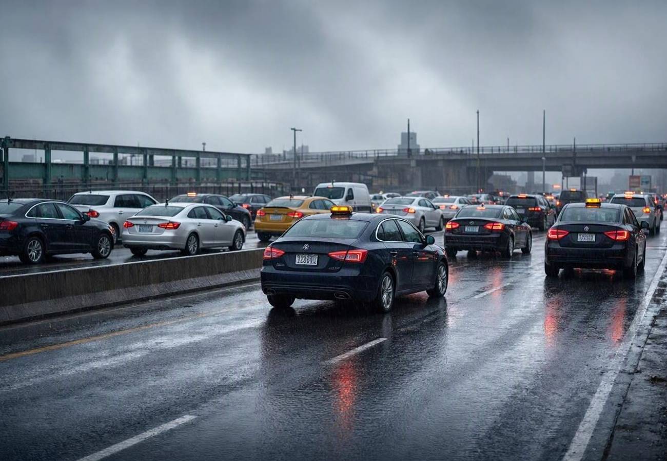
Image generated by AI
Are you currently navigating a trip through the New York metropolitan area during the current state of emergency? If you are moving between New York City, Long Island, or Westchester, you need to shift your logistics strategy immediately to account for systemic transit failures and road closures.
The 2026 New York Emergency Declaration
Governor Kathy Hochul has officially issued a state of emergency covering Westchester County, New York City, and Long Island. This legal designation is not merely a weather warning; it is a logistical trigger that allows the state to bypass standard procurement and deployment protocols. Specifically, it enables the rapid movement of the New York National Guard and the deployment of state-owned pumping equipment and sandbags to high-risk zones.
For the traveler, this means that state agencies are now pre-positioning crews along low-lying parkways and rail corridors. This framework was previously utilized during the February 2026 blizzard to manage stranded passengers and road blockages. The current declaration is a response to forecasted high winds, coastal flooding, and heavy rainfall that threaten to paralyze the region's most critical transit arteries.
Route and Schedule Details
Expect significant volatility across all modes of transport. Based on previous emergency protocols from September 2023 and February 2026, the following service adjustments are typical for this region during a state of emergency.
| Route/Service | Expected Frequency | Primary Risk | Status |
|---|---|---|---|
| Long Island Rail Road (LIRR) | Reduced/Weekend Schedule | Coastal flooding at yards | Modified |
| Metro-North Railroad | Hourly Service (Select Lines) | River rise/Debris on tracks | Modified |
| Long Island Expressway | Variable/Lane Closures | Flash flooding/Debris | High Risk |
| Belt Parkway / FDR Drive | Intermittent Closures | Storm surge/Coastal flooding | High Risk |
| JFK / LGA / Newark Airports | Ground Stops / Cancellations | High winds/Runway flooding | Volatile |
| Westchester Parkways | Segmented Shutdowns | Rapid stream rise | High Risk |
Traveler Logistics Guide
Navigating a state of emergency requires a proactive approach to ground transport and airport connections. Do not rely on standard schedules.
1. Ground Transport Strategy If you must drive, avoid the "low-point" arteries. The Belt Parkway in Brooklyn and the FDR Drive in Manhattan are notorious for flooding during coastal storms. In Westchester, the Saw Mill River Parkway and Bronx River Parkway are prone to sudden closures due to their proximity to rising waterways.
- Action: Use Google Maps or Waze, but be aware that official closures often happen faster than app updates. If a ramp is blocked by police, do not attempt to bypass it; these areas are often designated for emergency vehicles only.
- Route Tip: Prioritize higher-elevation interstates over parkways when moving between NYC and the suburbs.
2. Rail Connection Management The LIRR and Metro-North typically move to modified timetables to protect equipment. During the February 2026 event, several branch lines were taken offline entirely to prevent locomotives from being stranded by rising water.
- Action: Check the MTA (Metropolitan Transportation Authority) real-time dashboard before leaving your hotel. If you are on a branch line, identify the nearest "main line" station you can reach via ride-share if your local stop is suspended.
3. Airport Survival and Flight Logistics Airports like JFK, LaGuardia, and Newark Liberty are susceptible to "cascading delays." Even if your flight is scheduled, a ground stop at one airport can freeze the entire regional airspace.
- Action: Do not leave for the airport at your usual time. Check your flight status via the airline's app first. If the airport is under a ground stop, wait at your hotel or a nearby lounge to avoid 4-6 hour security lines that form when multiple flights are rescheduled into a single window.
- Baggage: If you are connecting through New York to an international destination, confirm that your bags are checked through to the final destination to avoid having to retrieve them during a chaotic terminal evacuation or delay.
4. Local Navigation and Safety For those staying in short-term rentals or hotels, coordinate with your host for flexible check-out times. In previous emergencies, travelers who stayed indoors during the peak rainfall avoided the most severe transit disruptions.
Regional Connectivity Impact
The state of emergency creates a ripple effect that extends beyond the three affected counties. Because the New York airspace is a primary hub for North American aviation, diversions here cause scheduling conflicts in cities thousands of miles away.
In Westchester, the impact is felt most in the historic Hudson River villages, where street-level flooding often forces the closure of shopping districts. On Long Island, the risk is concentrated in marinas and boardwalks. If your itinerary includes coastal visits to Nassau or Suffolk, expect these to be closed by local authorities to prevent accidents with storm-driven tides.
For those using digital transit tools, ensure you have offline maps of the region. Power outages can affect cell tower reliability, making real-time navigation impossible during the height of the storm.
FAQ: New York Transit Emergency 2026
Do I need a special permit to travel during the state of emergency? No, general travel is not banned, but certain roads (like the Long Island Expressway or specific parkways) may be restricted to emergency and essential vehicles only during peak flooding.
How long should I add to my airport commute? Add at least 2 to 3 hours to your standard commute. Between road closures on the Belt Parkway and increased security congestion, transit times are unpredictable.
Will the LIRR and Metro-North stop running entirely? Total shutdowns are rare, but "reduced service" is common. Expect hourly trains or weekend-style schedules rather than peak-hour frequency.
Can I rely on ride-share apps like Uber or Lyft? Yes, but expect massive surge pricing and significantly longer wait times as drivers avoid flooded zones and high-risk coastal roads.
Stay stationary until the peak surge passes to avoid becoming part of the regional gridlock.
Related Travel Guides
Disclaimer
This article is for informational and educational purposes only. It does not constitute legal, financial, or professional advice. While we strive to provide accurate and up-to-date information, travel policies, regulations, and conditions change rapidly. Always verify information with official sources before making travel decisions. Nomad Lawyer makes no representations about the accuracy, reliability, completeness, or suitability of the information provided. Readers should consult qualified professionals for advice specific to their circumstances. The views expressed in this article are those of the author and do not necessarily reflect the views of Nomad Lawyer.
Kunal K Choudhary
Co-Founder & Contributor
A passionate traveller and tech enthusiast. Kunal contributes to the vision and growth of Nomad Lawyer, bringing fresh perspectives and driving the community forward.
Learn more about our team →