
North Carolina Joins Virginia, Maryland, Delaware and More US States Now Trembling with Late September Nor’easter Coastal Floodings and Rains
North Carolina Joins Virginia, Maryland, Delaware and More US States Now Trembling with Late September Nor’easter Coastal Floodings and Rains

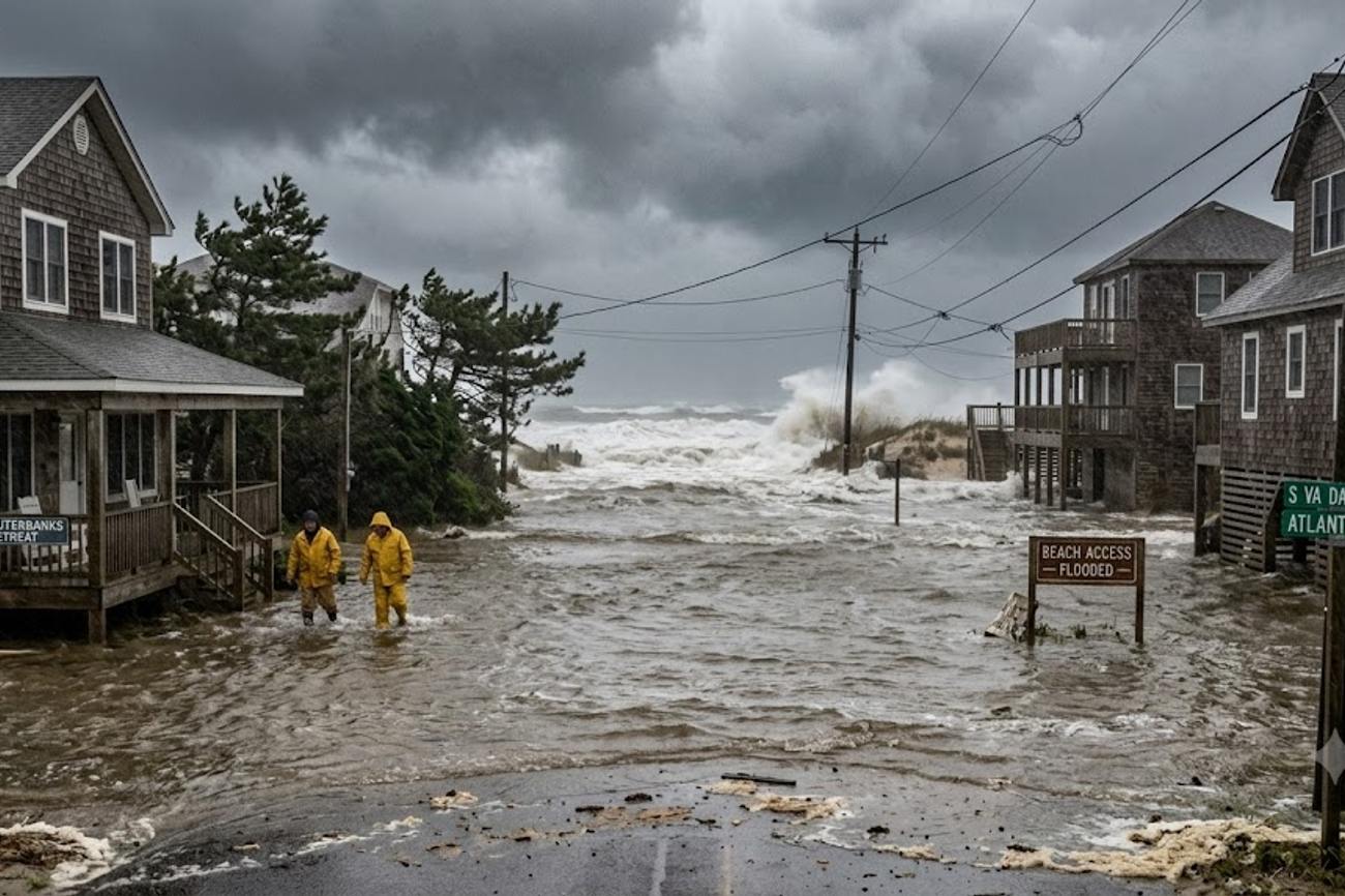
Image generated by AI
Five US states—North Carolina, Virginia, Maryland, Delaware, and those stretching into New England—are currently under threat from a developing September Nor’easter that risks triggering widespread coastal flooding and travel paralysis. This atmospheric system, characterized by a pronounced dip in the jet stream and a blocking pattern, threatens to stall storms moving from the Midwest, creating a volatile environment where traditional autumn weather shifts into high-risk maritime conditions.
The Mechanics of a September Nor’easter
The current volatility on the US East Coast is not a result of a single weather event but a convergence of atmospheric and lunar cycles. A blocking pattern in the upper atmosphere is effectively trapping weather systems, preventing the typical eastward progression of Midwest storms. This stagnation allows a new system to gestate either directly on the coast or several hundred miles offshore.
The primary driver is a significant dip in the jet stream, which acts as a conveyor belt for storm systems. When this jet stream dips and stalls, it creates the perfect conditions for a Nor’easter—a storm that draws its energy from the temperature contrast between cold continental air and the warm waters of the Atlantic. If this system lingers offshore, there is a distinct possibility it could acquire tropical characteristics, further intensifying wind speeds and precipitation levels.
Regional Risk Distribution and Tidal Amplification
The geographical footprint of the potential disruption extends from eastern North Carolina through Virginia and up to Massachusetts. However, the severity of the impact is not uniform; it is heavily dependent on the storm's eventual track and the timing of astronomical tides.
| High-Risk Region | Primary Threat | Peak Danger Window |
|---|---|---|
| Lower Chesapeake Bay | Major coastal flooding / Tidal river surge | Wednesday (High Tide) |
| Southeastern Virginia | Damaging winds / Beach erosion | Tuesday - Friday |
| Southeastern New England | Storm surge / Heavy rain | Friday - Weekend |
| Mid-Atlantic Coast | Urban flooding / Power outages | Tuesday - Friday |
A critical compounding factor in this event is the current lunar cycle. The presence of a full moon increases astronomical tide levels. When the storm's east-to-northeast winds push seawater toward the shoreline during these peak tides, the result is a "storm surge" effect. This means that coastal roads and low-lying access routes can become impassable even in areas where rainfall is minimal, as the ocean effectively pushes inland.
Expert Analysis: The Logistics of Coastal Paralysis
For travelers booking trips along the Atlantic seaboard, the direct consequence of this system is a high probability of "last-mile" failure. While major airports may remain operational, the infrastructure connecting those hubs to coastal destinations—specifically in the Chesapeake Bay region and New England—is highly vulnerable to tidal flooding.
The pricing pressure created by such events often manifests in a sudden spike in short-term rental cancellations and a surge in demand for inland hotels. Because this storm has the potential to shift westward after initially moving out to sea, travelers cannot rely on a "clear" forecast from 48 hours prior. The "return track" phenomenon is the most dangerous variable here; a system that drifts back toward the coast after strengthening offshore can deliver hurricane-force gusts and surge levels that catch local municipalities off guard.
As the late September Nor'easter brings coastal floodings and rains to North Carolina, Virginia, Maryland, Delaware, and other US states, travelers are advised to check the latest flight schedules and airport conditions on the Federal Aviation Administration website for updates on flight disruptions and cancellations. The storm's impact on air travel is expected to be significant, with several major airports in the region already experiencing delays and cancellations. Passengers are urged to contact their airlines directly for the latest information on their flights.
From a regulatory and safety perspective, the National Oceanic and Atmospheric Administration (NOAA) typically issues coastal flood warnings that should be treated as mandatory guidance for road travel. For those utilizing small craft or coastal ferries, the interaction between the full moon's tide and the storm's wind field creates "dangerously rough" seas that can mirror the conditions of a winter Nor’easter or a tropical storm.
Furthermore, the threat of wind-related power outages in the Mid-Atlantic corridor means that digital infrastructure—including EV charging stations and electronic ticketing kiosks—could experience intermittent failures. Travelers should ensure they have offline maps and physical backups of their itineraries. For those monitoring flight statuses, the Federal Aviation Administration (FAA) may implement ground stops or flow control measures if wind gusts at coastal airports reach critical thresholds.
Key Takeaways
- Tidal Synergy: The combination of a full moon and east-to-northeast winds will maximize flooding risks, particularly in the lower Chesapeake Bay and tidal rivers.
- The "Return" Risk: The storm may initially move away from the coast before drifting westward, meaning a temporary improvement in weather does not guarantee the system has passed.
- Geographic Hotspots: Southeastern Virginia and southeastern New England are identified as the areas most likely to experience severe conditions.
- Infrastructure Vulnerability: Expect disruptions not just from rain, but from coastal erosion and wind-induced power outages affecting transport hubs.
- Timeline: The highest risk window for coastal flooding runs from Tuesday through Friday, with potential extensions into the weekend for New England.
FAQ: East Coast Nor’easter 2024
Will my flight be canceled due to the September Nor’easter? Cancellations depend on the storm's final track. While heavy rain rarely stops all flights, powerful wind gusts and urban flooding affecting airport ground transport can cause significant delays. Monitor your airline's official app for real-time updates.
Is it safe to drive to coastal hotels during a full moon storm? Exercise extreme caution. High astronomical tides combined with storm surges can flood low-lying coastal roads even if it isn't raining. Check local road closure reports before departing for waterfront destinations.
What is the difference between this storm and a hurricane? While this is a Nor’easter (driven by temperature contrasts), the report indicates it could acquire "tropical characteristics" if it strengthens offshore. Both can produce dangerous surf and high winds, but their origins differ.
Which specific areas are at the highest risk for flooding? The lower Chesapeake Bay, its western shores, and the tidal rivers flowing into it are under the highest threat, especially around astronomical high tides starting Wednesday.
When the moon and the jet stream align, the coastline becomes a liability.
Related Travel Guides
Disclaimer
This article is for informational and educational purposes only. It does not constitute legal, financial, or professional advice. While we strive to provide accurate and up-to-date information, travel policies, regulations, and conditions change rapidly. Always verify information with official sources before making travel decisions. Nomad Lawyer makes no representations about the accuracy, reliability, completeness, or suitability of the information provided. Readers should consult qualified professionals for advice specific to their circumstances. The views expressed in this article are those of the author and do not necessarily reflect the views of Nomad Lawyer.
Raushan Kumar
Founder & Lead Developer
Full-stack developer with 11+ years of experience and a passionate traveller. Raushan built Nomad Lawyer from the ground up with a vision to create the best travel and law experience on the web.
Learn more about our team →