
Dominican Republic Deploys EarthRanger and PIT Microchips for Turtle Conservation at Bahía de las Águilas 2026
The Dominican Republic is integrating EarthRanger and PIT microchip technology at Bahía de las Águilas to balance critical sea turtle conservation with expanding tourism infrastructure in Pedernales.
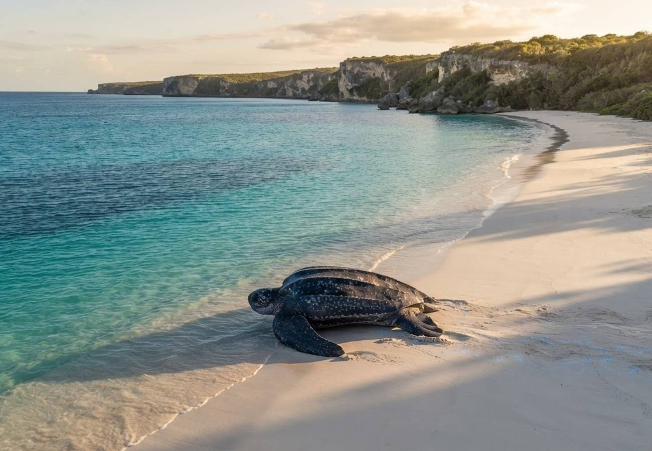
Image generated by AI
The Dominican Republic has launched a high-tech conservation pilot at Bahía de las Águilas in Pedernales, utilizing EarthRanger real-time monitoring and PIT microchips to protect sea turtle populations as the region prepares for a massive influx of tourists via the new Cabo Rojo International Airport.
The initiative, which began in June 2026, represents a strategic shift in how the Dominican Republic manages its most sensitive ecological zones. By layering sophisticated biological data collection over tourism planning, authorities are attempting to create a "digital conservation operations stack" that can inform visitor limits and infrastructure development in real-time.
Digital Infrastructure for Marine Wildlife in Pedernales
According to the Dominican Republic Ministry of Environment and Natural Resources, the pilot program at Bahía de las Águilas is not a simple tagging exercise but a comprehensive data integration project. The system utilizes a combination of permanent PIT (Passive Integrated Transponder) microchips, EarthRanger software, traditional metal tags, and DNA sampling.
For those unfamiliar with the technical distinctions, PIT microchips provide each turtle with a permanent electronic ID, allowing researchers to identify individual animals upon recapture or scanning. This differs fundamentally from GPS or satellite transmitters, as it does not broadcast the animal's location. Instead, EarthRanger serves as the operational hub, allowing the ministry to track night patrols, document nesting activity, and manage strandings in real-time.
During the initial phase of the pilot, officials documented three female leatherback turtles (Dermochelys coriacea). The process involved nocturnal observations and the collection of biological and genetic data. The program also focuses on human capital, providing specialized training to local volunteers, park rangers, technical staff, and coastal inspectors.
Integration of Conservation Data and Tourism Capacity
The deployment of this technology is inextricably linked to the government's broader tourism strategy for the southwest coast. The General Directorate of Public-Private Partnerships (DGAPP) has previously conducted carrying-capacity studies for Bahía de las Águilas to determine how many visitors the ecosystem can sustain without degrading.
In these models, conservation is not treated as a secondary concern but as a primary variable. In specific beach sectors, the government applied a 58 per cent conservation adjustment to the visitor capacity calculations to account for a seven-month window of marine turtle nesting and hatchling emergence.
The transition from static studies to a dynamic system like EarthRanger allows the government to move toward "decision intelligence." While there is currently no evidence that tourist admissions are being automatically adjusted by an algorithm, the technical infrastructure now exists to link real-time wildlife activity to destination management.
Analysis of Bahía de las Águilas Visitor Capacity
The following data, derived from the official 2022 study, illustrates the gap between the theoretical physical capacity of the area and the actual management capacity when environmental factors are considered.
| Bahía de las Águilas Capacity Indicator | Physical Capacity | Real Capacity | Management Capacity |
|---|---|---|---|
| Standard beach zone, daily | 4,170 | 1,751 | 980 |
| VIP beach zone, daily | 10,538 | 4,426 | 2,547 |
| Combined evaluated daily total | 14,708 | 6,177 | 3,527 |
| Boat parking at La Cueva | 34 | 24 | 19 |
| Mirador trail users simultaneously | 62 | 40 | 28 |
These figures highlight why the 2026 technology rollout is necessary. A static baseline cannot account for the fluidity of nesting seasons or unexpected ecological crises; a real-time data layer can.
Strategic Impact of the Cabo Rojo International Airport
The urgency of this environmental intelligence is driven by the development of the Cabo Rojo International Airport in the Tres Charcos community of the Oviedo municipality. This airport is the linchpin of the Pedernales tourism project, designed to bring international travelers directly into the southwest region.
As of May 2026, reports from the Presidency of the Dominican Republic indicated that construction was ongoing for the terminal, control tower, taxiways, and runway. The government has set a target for the airport to receive its first aircraft by February 2027.
While a March 2026 update suggested that runway work might be finished by September and the control tower by December, there has been no official confirmation that these specific milestones were met. For aviation planners and travel agents, the February 2027 date remains the most reliable operational target for initial flights.
Why This Matters: The Shift to Evidence-Based Destination Management
For the modern traveler and the travel industry, the events at Bahía de las Águilas signal a move away from "mass tourism" toward "managed tourism." In traditional resort hubs, technology is used to optimize revenue and guest experience. Here, technology is being used to define the very limits of the guest experience to prevent ecological collapse.
From a logistical standpoint, this creates a new precedent for the Caribbean. If the Dominican Republic successfully integrates EarthRanger data into its visitor quotas, other protected destinations may follow suit. This means that future travel to high-sensitivity zones may become more regulated, with access potentially fluctuating based on real-time biological data rather than fixed seasonal calendars.
Furthermore, the scale of the project—covering a 39.89-square-kilometre study polygon including coral reefs, seagrass meadows, and rocky coastlines—demonstrates that the government is viewing the region as a holistic ecosystem rather than just a beach destination. The integration of a cruise terminal, new road networks, and wastewater infrastructure alongside this conservation tech suggests a high-stakes attempt to prove that luxury tourism and strict environmental preservation can coexist.
The success of the Pedernales project will likely serve as a global litmus test for whether "smart tourism" can actually protect endangered species in the face of rapid infrastructure growth.
Related Travel Guides
Disclaimer
This article is for informational and educational purposes only. It does not constitute legal, financial, or professional advice. While we strive to provide accurate and up-to-date information, travel policies, regulations, and conditions change rapidly. Always verify information with official sources before making travel decisions. Nomad Lawyer makes no representations about the accuracy, reliability, completeness, or suitability of the information provided. Readers should consult qualified professionals for advice specific to their circumstances. The views expressed in this article are those of the author and do not necessarily reflect the views of Nomad Lawyer.