
Delta Air Lines Flight 539 Aerial Photos Reveal Alarming Snow Loss on Mount Rainier in 2026
Stunning aerial photography from Delta Flight 539 has sparked a heated debate over the visible decline of glaciers and snowpack on the Pacific Northwest's iconic stratovolcanoes.

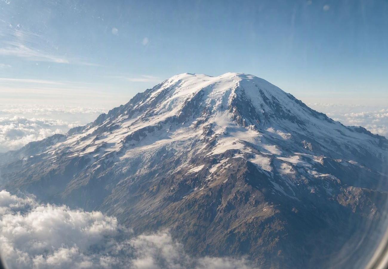
Image generated by AI
Mount Rainier has reportedly shrunk by more than 20 feet, a physical decline that is now visible to passengers peering through the windows of commercial aircraft. While most travelers view the descent into the Pacific Northwest as a scenic highlight, recent imagery from a specific Delta Air Lines route has transformed a routine flight into a visual record of environmental decay.
The Aerial Record of the Cascade Volcanic Arc
Delta Air Lines operates flight 539 between Atlanta and Portland seven days a week. Spanning 2,168 miles and lasting nearly five hours, this route is widely considered one of the most visually rewarding journeys in the Delta network. A recent passenger documented the flight by capturing clear, high-resolution images of the four primary stratovolcanoes within the Cascade Volcanic Arc: Mount Hood, Mount Adams, Mount Rainier, and Mount St. Helens.
While the photos initially garnered praise for their clarity and composition, they quickly became a catalyst for environmental alarm. Frequent visitors to the region noticed a jarring discrepancy between these 2026 images and historical visuals of the same peaks. The most striking observation was the lack of snow and ice buildup on Mount Rainier and Mount Hood, which typically maintain a much heavier white mantle at this time of year.
What Makes the Pacific Northwest Peaks Different
The volcanoes of the Cascade Range are not merely mountains; they are active geological entities that define the ecology of the region. Mount Rainier, known to the indigenous people as Tahoma, serves as a critical water tower for the surrounding ecosystems. The presence of permanent glaciers and seasonal snowpack regulates stream flows and supports diverse wildlife.
However, the images from flight 539 highlight a troubling trend. Observers pointed out that the amount of exposed rock on these peaks is historically abnormal. While some defenders of the images argued that the photos were taken from the south side—which naturally retains less ice than the northern slopes—data from the National Oceanic and Atmospheric Administration (NOAA) indicates that much of the American West entered the summer season with snowpacks at or near historic lows.
The physical degradation is not just a matter of seasonal variation. Research published in the journal Arctic, Antarctic and Alpine Research (AAAR) suggests that the summit of Mount Rainier has not only lowered in elevation but has shifted its actual summit location by 400 feet toward the south due to ice loss.
Visitor Insider Tips
If you are booking a flight to Portland (PDX) or Seattle (SEA), here is how to maximize the experience and respect the fragile environment of the National Park Service (NPS) lands.
Flight Strategy: To capture the peaks mentioned on flight 539, keep your window shade open during the final two hours of the flight into the Pacific Northwest. The approach into Portland often provides the clearest line of sight to Mount Hood, while the descent toward Seattle offers the most dramatic views of Mount Rainier.
Local Etiquette: When visiting the parks, adhere strictly to the "Leave No Trace" principles. The alpine meadows surrounding these volcanoes are incredibly fragile; stepping off-trail can destroy plants that take decades to grow.
Transport Hacks: To avoid the crushing crowds at the Rainier visitor centers during peak summer, arrive before 8:00 AM. Better yet, utilize the shuttle systems where available to reduce the number of idling vehicles in the park.
Regional Specialties: While in the foothills of the Cascades, seek out local huckleberry products—jams and pies—which are a staple of the high-altitude forests surrounding these peaks.
Cultural and Environmental Context
The intersection of aviation tourism and environmental monitoring has created a new, unintentional form of "citizen science." As more passengers share high-resolution aerial photography on social media, the gap between official reports and public perception narrows. The anxiety surrounding the Delta flight photos reflects a broader cultural shift: travelers are no longer just consuming scenery; they are witnessing the disappearance of it.
The National Park Service has responded to these changes by urging visitors to adopt hyper-sustainable habits. The impact of tourism on these sites is cumulative. Simple actions, such as avoiding idling vehicles—which burns more gas in 20 seconds of idling than it does to restart the engine—directly affect the air quality and carbon footprint of the park.
The alarming snow loss on Mount Rainier has been a topic of concern for environmentalists and travelers alike, with Delta Air Lines Flight 539 aerial photos providing a striking visual representation of the issue. For the most up-to-date information on flight routes and schedules, passengers can visit the Delta Air Lines official website to plan their trips accordingly. This will help travelers make informed decisions about their itineraries, especially if they plan to visit Mount Rainier National Park.
For the modern nomad, visiting these sites now requires a conscious effort to offset the journey. This includes using refillable containers to eliminate plastic waste and calculating carbon footprints to purchase credits that mitigate the emissions of the flight itself. The shift from "sightseeing" to "stewardship" is becoming the primary narrative for those visiting the American West.
FAQ: Visiting Mount Rainier 2026
What is the best time to visit for snow views? Late spring (May to June) typically offers the most dramatic contrast between the deep winter snowpack and the emerging greenery of the lower forests.
How do I get to Mount Rainier from Seattle or Portland? From Seattle, it is approximately a 2-hour drive. From Portland, it is roughly 3 hours. Rental cars are common, but ride-sharing or organized tours are recommended to avoid parking congestion.
Is it safe for solo travelers to hike the peaks? Low-elevation trails are safe for solo hikers, but high-altitude glacier trekking requires a certified guide and specialized gear due to crevasse risks and unpredictable weather.
Do I need a permit to enter the park? Depending on the season and specific trailhead, timed entry reservations may be required to manage crowds. Always check the official NPS website before departing.
The view from 30,000 feet is no longer just a postcard; it is a warning.
Related Travel Guides
Disclaimer
This article is for informational and educational purposes only. It does not constitute legal, financial, or professional advice. While we strive to provide accurate and up-to-date information, travel policies, regulations, and conditions change rapidly. Always verify information with official sources before making travel decisions. Nomad Lawyer makes no representations about the accuracy, reliability, completeness, or suitability of the information provided. Readers should consult qualified professionals for advice specific to their circumstances. The views expressed in this article are those of the author and do not necessarily reflect the views of Nomad Lawyer.
Raushan Kumar
Founder & Lead Developer
Full-stack developer with 11+ years of experience and a passionate traveller. Raushan built Nomad Lawyer from the ground up with a vision to create the best travel and law experience on the web.
Learn more about our team →