
British Columbia Wildfires Force 20,000 Evacuations in Okanagan
A provincial state of emergency has been declared in British Columbia as the Bald Range wildfire forces 20,000 evacuations across the Okanagan.
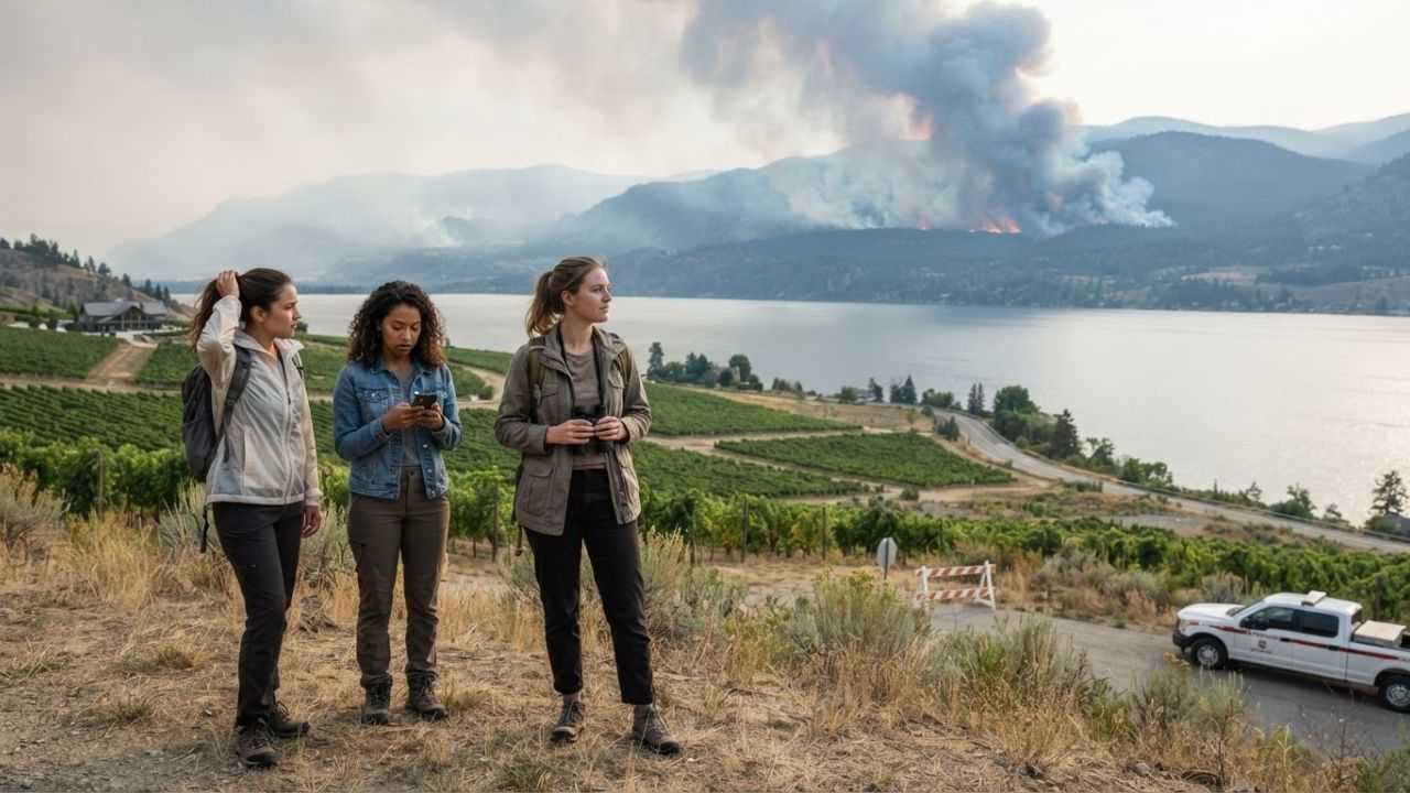
Image generated by AI
British Columbia has declared a state of emergency as the out-of-control Bald Range wildfire forces 20,000 evacuations across the Okanagan.
The Core Transit Update
A provincial state of emergency has been declared across British Columbia as rapidly expanding forest fires disrupt travel corridors and municipal utilities in the southern interior. The out-of-control Bald Range wildfire has grown to approximately 9,500 hectares, forcing more than 20,000 evacuations.
Evacuation orders are active for Summerland, Peachland, and surrounding areas west of Okanagan Lake, prompting travelers to divert from the wine valley toward Kelowna and Penticton, while international crews from Mexico, Australia, France, and New Zealand arrive to assist 1,500 local firefighters.
Wildfire Statistics & Regional Travel Impact Specifications
Navigating transit routes across the Pacific Northwest during active wildfire seasons requires tracking regional evacuation zones and utility disruptions. The following tables outline the fire parameters and corridor impacts.
| Wildfire Registry & Metric | Strategic Volume / Size | Core Region Affected | Current Status (August 2026) |
|---|---|---|---|
| Bald Range Wildfire | Approximately 9,500 hectares | West of Okanagan Lake, BC | Burning out of control |
| Province Evacuations | More than 20,000 residents | Summerland, Peachland, environs | Active evacuation orders |
| Active Forest Fires (BC) | More than 100 fires | British Columbia Southern Interior | State of emergency declared |
| National Burn Area (YTD) | Approximately 4 million hectares | Across Canada (CIFFC registry) | Peak hot & dry summer phase |
| Firefighting Personnel | ~1,500 active responders | Municipal forest zones | Assisted by international crews |
Bald Range wildfire and British Columbia emergency statistics.
| Travel Corridor / District | Primary Wildfire Threat Factor | Infrastructure & Utilities Impact | Transit Status & Advice |
|---|---|---|---|
| Summerland Municipality | Flame encroachment & smoke | Power outage, boil-water notice | Mandatory evacuation order |
| Peachland Municipality | Expanding perimeter line | Smoke and route blockages | Mandatory evacuation order |
| Okanagan Lake Corridor | Thick smoke & low visibility | Local highway closures | Closed to non-emergency traffic |
| Penticton & Kelowna Hubs | High evacuee arrival volume | Heavy load on hotels & fuel stations | Evacuee receiving centers active |
Regional travel corridor impacts across the Okanagan wine valley.
Traveler Logistics Guide
From a ground-level perspective, the best way to navigate this is to monitor the Emergency Info BC dashboard and check DriveBC highway logs before setting out, as local police will immediately block road access to highways bordering Okanagan Lake when smoke compromises safe visibility. Checking flight status is recommended.
To plan your journey and secure travel flexibility:
- Boil-Water Advisories: Be aware that Summerland has issued a boil-water notice after wildfire conditions forced the municipal water supply to bypass the main treatment plant.
- Flexible Bookings: Prioritize travel insurance policies that cover trip cancellations or interruptions caused by active natural disasters and smoke hazards.
- Alternate Evacuation Routes: If exiting the Okanagan Valley, utilize major southbound corridors to Penticton or northbound links to Kelowna. Avoid secondary logging roads.
- Rerouting Wine Tours: Postpone all wine tourism and tasting itineraries in the central Okanagan Lake region until municipal evacuation orders are lifted.
Infrastructure Impact Assessment
The massive scale of the 2026 fire season—burning approximately 4 million hectares nationally according to the Canadian Interagency Forest Fire Centre (CIFFC)—places extreme stress on utility networks and tourism infrastructure. Power outages and water bypasses in Summerland demonstrate how fires disrupt regional economies beyond the immediate flame perimeter.
By prioritizing emergency response coordination and restricting non-essential tourist transits, regional authorities protect local rescue crews, setting the foundation for long-term community recovery once containment is achieved.
Related Travel Guides
Seattle Travelers Discover Coastal Views at Richmond Beach Saltwater Park
Shravani Mela 2026 Deoghar Travel Tips and Logistics Guide
10 Best Travel Tips for British Columbia Wildfires, According to Reddit
Disclaimer
This article is for informational and educational purposes only. It does not constitute legal, financial, or professional advice. While we strive to provide accurate and up-to-date information, travel policies, regulations, and conditions change rapidly. Always verify information with official sources before making travel decisions. Nomad Lawyer makes no representations about the accuracy, reliability, completeness, or suitability of the information provided. Readers should consult qualified professionals for advice specific to their circumstances. The views expressed in this article are those of the author and do not necessarily reflect the views of Nomad Lawyer.