
10 Best Blue Ridge Parkway Road Trips Reddit Travelers Recommend in 2026
Explore 10 breathtaking Blue Ridge Parkway road trips recommended by Reddit travelers in 2026, featuring Linn Cove Viaduct, Mount Mitchell, and hidden overlooks.

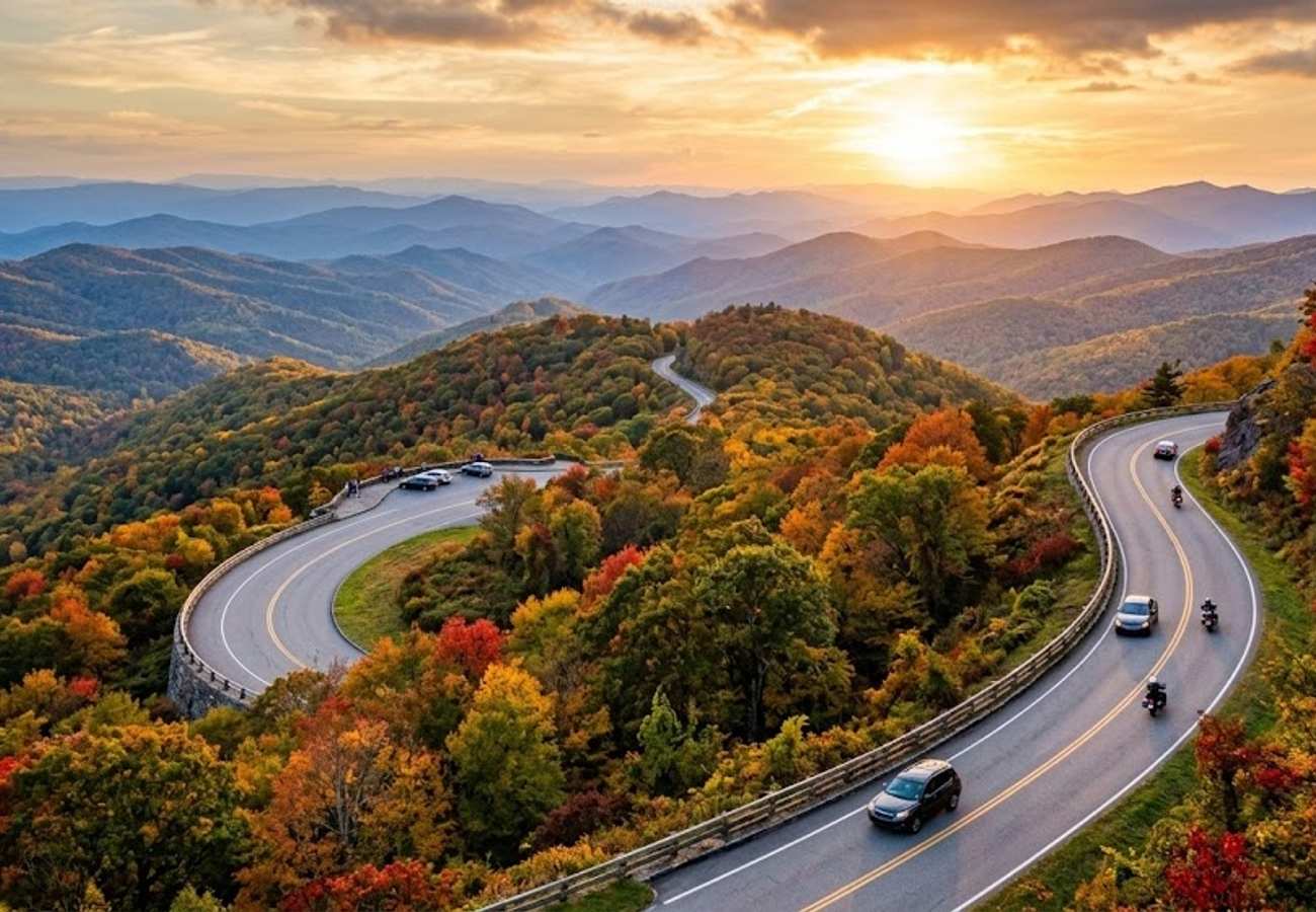
Image generated by AI
Snaking 469 miles along the spine of the central and southern Appalachian Mountains, the Blue Ridge Parkway is widely celebrated as America's favorite scenic drive. Connecting Shenandoah National Park in Virginia to the Great Smoky Mountains in North Carolina, this ribbon of asphalt traverses protected mountain ecosystems without a single commercial billboard or traffic signal. Yet with speed limits strictly enforced at 45 mph and hundreds of scenic turnouts, tackling the entire route requires thoughtful pacing and reliable local insights.
Rather than trying to rush through all 469 miles in a single exhausting haul, seasoned road-trippers break the Parkway into focused multi-day segments. They know which high-elevation passes close unexpectedly during early frost, which roadside gaps serve the best hot biscuits, and how to navigate around heavy autumn crowds at iconic overlooks.
Whether you have a three-day weekend or a full week to explore, here are the 10 best Blue Ridge Parkway road trips recommended by community-tested itineraries for 2026.
Route Overview & Milepost Planning Guide
| Parkway Road Trip / Section | Milepost Range | Key Feature & Elevation | Best Travel Window & Strategy |
|---|---|---|---|
| 1. The Grand Highland Traverse | MP 291 – MP 382 | Linn Cove Viaduct & Grandfather Mtn (4,100 ft) | Early Oct; start at dawn from Blowing Rock to beat tour buses |
| 2. Shenandoah to Peaks of Otter | MP 0 – MP 115 | Humpback Rocks & Historic Lodge (3,875 ft) | Mid Oct; hike Sharp Top Mountain for sunset over the Piedmont |
| 3. Southern High Peaks & Pisgah | MP 382 – MP 469 | Highest Parkway point at Richland Balsam (6,053 ft) | Late Sept – Early Oct; prime early color and elk spotting in Cherokee |
| 4. Virginia Mountain Music Loop | MP 115 – MP 215 | Historic Mabry Mill & Rocky Knob (2,900 ft) | Mid Oct; time your drive for the Friday night jam at Floyd Country Store |
| 5. High Country Escarpment Run | MP 276 – MP 334 | Moses Cone Estate & Little Switzerland (3,400 ft) | Early Oct; stay at Little Switzerland village for private mountain sunrises |
| 6. Mount Mitchell Summit Spur | MP 355 (NC 128) | Highest peak east of Mississippi (6,684 ft) | Late Sept; pack winter layers as summit is 15°F colder than valleys |
| 7. Doughton Park Pastoral Balds | MP 216 – MP 248 | Brinegar Cabin & Wild Basin Views (3,700 ft) | Mid Oct; uncrowded rolling meadows ideal for afternoon hiking |
| 8. Pisgah Waterfalls Heritage Byway | MP 412 (US 276) | Looking Glass Falls & Sliding Rock (3,200 ft) | Summer & Fall; easy roadside waterfall viewing with zero trail hike |
| 9. Linville Gorge Wilderness Circuit | MP 305 – MP 317 | "Grand Canyon of the East" & Linville Falls (3,250 ft) | Early Oct; take gravel side roads for secluded western gorge overlooks |
| 10. Great Smoky Mountains Crossing | MP 450 – MP 469+ | Waterrock Knob to Clingmans Dome (6,643 ft) | Late Sept – Mid Oct; prime evening elk viewing in Oconaluftee Valley |
1. The Grand Highland Traverse (Blowing Rock to Asheville, MP 291–MP 382)
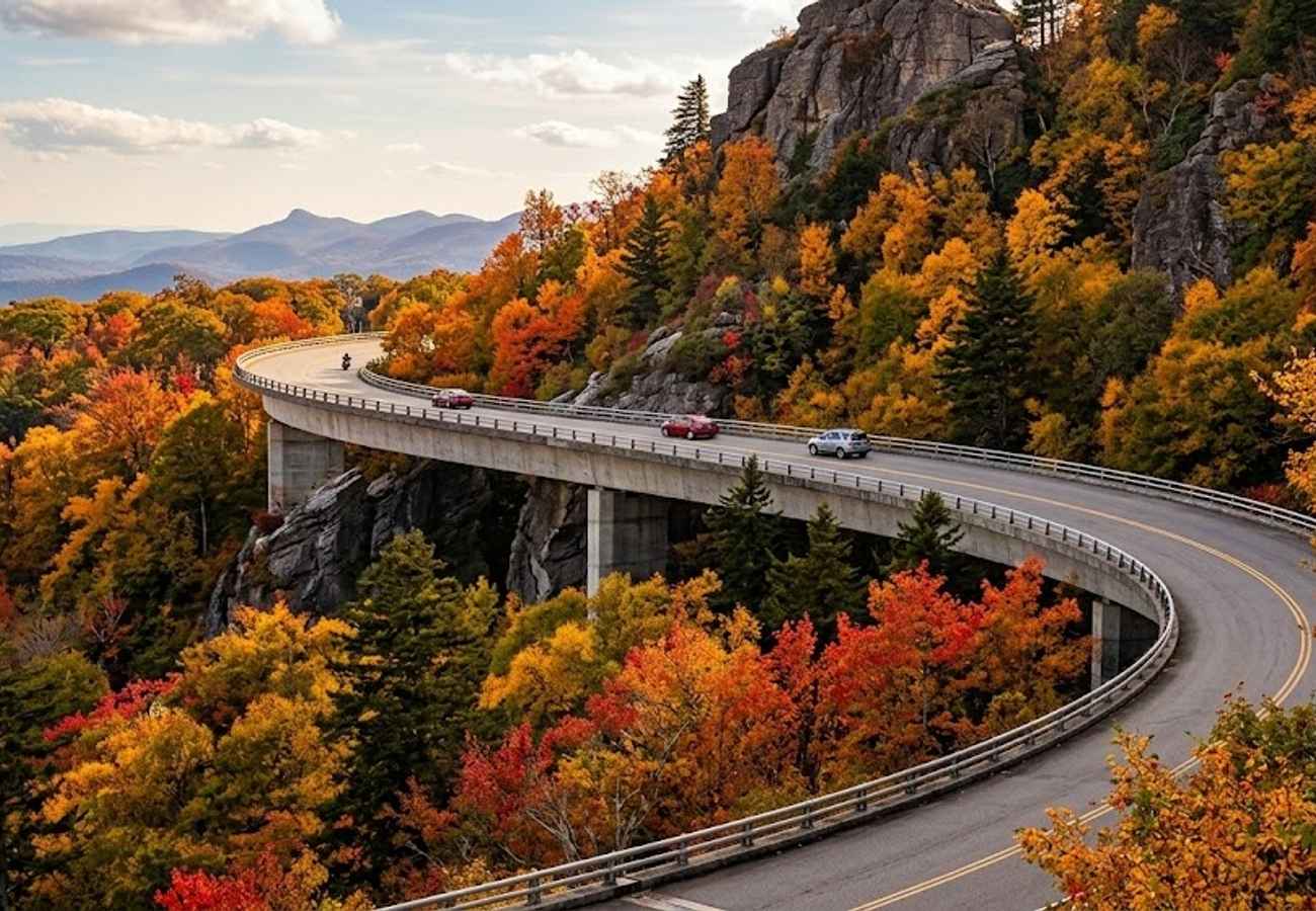
Spanning 91 miles between the charming village of Blowing Rock and the cultural hub of Asheville, this section is the crown jewel of the North Carolina high country. The road hugs the rugged slopes of Grandfather Mountain before sweeping across the engineering marvel of the Linn Cove Viaduct—an S-curved elevated bridge that seems to float effortlessly through the treetops.
The sweeping views from Rough Ridge (MP 302.8) and the windswept heath balds of Craggy Gardens (MP 364.1) make this stretch one of the most photographed road corridors on the continent. During peak autumn weekends, vehicle traffic can crawl through the viaduct sector. Veteran drivers recommend departing Blowing Rock before 7:30 AM or driving south in the golden late-afternoon light when day visitors have headed into town.
2. Shenandoah to Peaks of Otter Gateway (Rockfish Gap to Roanoke, MP 0–MP 115)
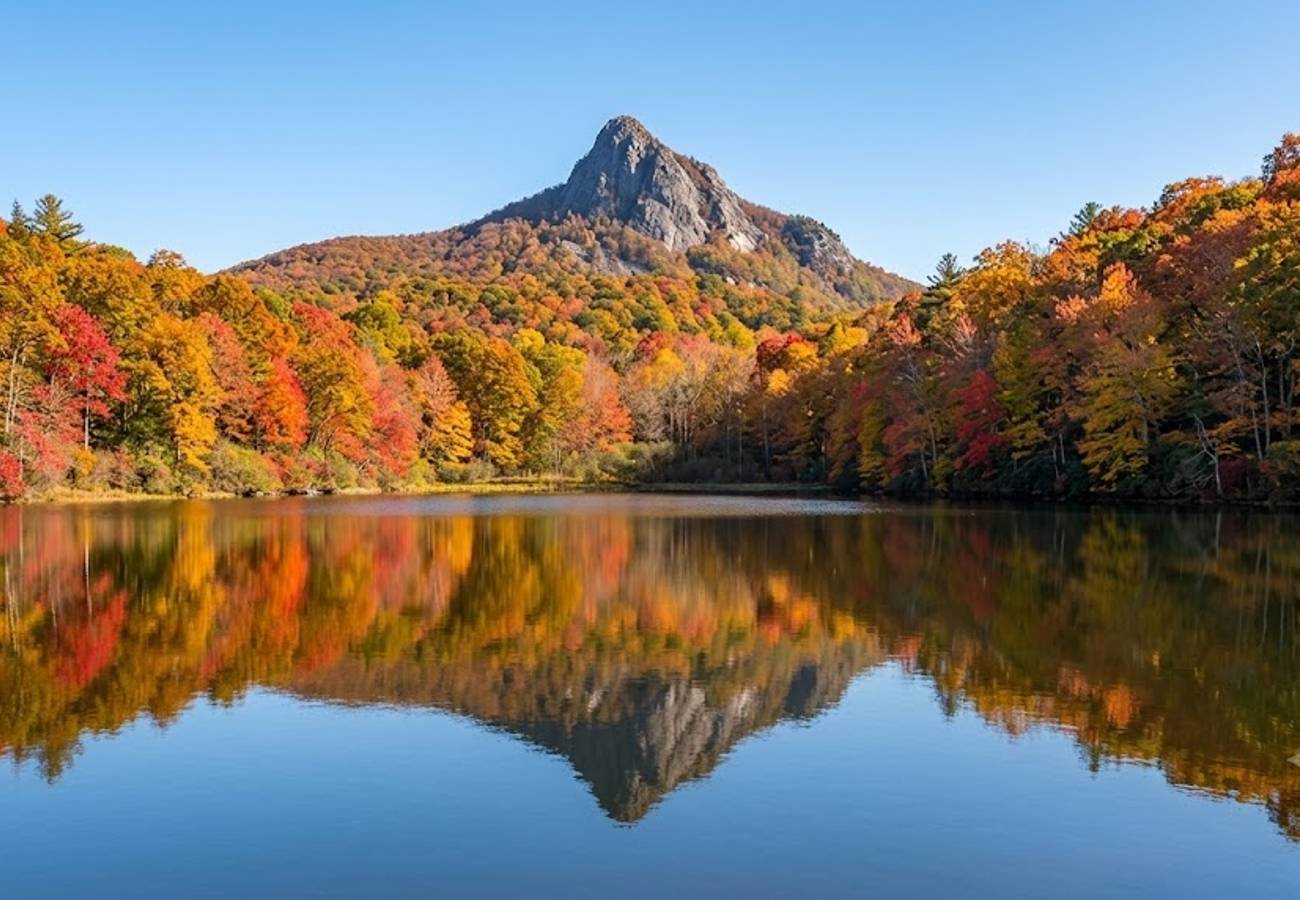
Beginning at Rockfish Gap where Skyline Drive ends, the northern gateway of the Parkway descends through lush oak-hickory forests into deep Virginia river gorges. Notable stops include the steep, rewarding trail at Humpback Rocks (MP 5.8) and the lowest elevation point on the entire Parkway where the road crosses the James River at just 649 feet (MP 63.7).
The highlight of this northern journey is the historic Peaks of Otter basin (MP 85.6). Nestled beneath the twin granite spires of Sharp Top and Flat Top mountains, the area features Abbott Lake, a full-service lodge, and lakeside trails. The hike up Sharp Top offers a panoramic 360-degree overlook across the Virginia Piedmont that Thomas Jefferson once considered the highest point in North America.
3. The Southern High Peaks & Pisgah Wilderness (Asheville to Cherokee, MP 382–MP 469)
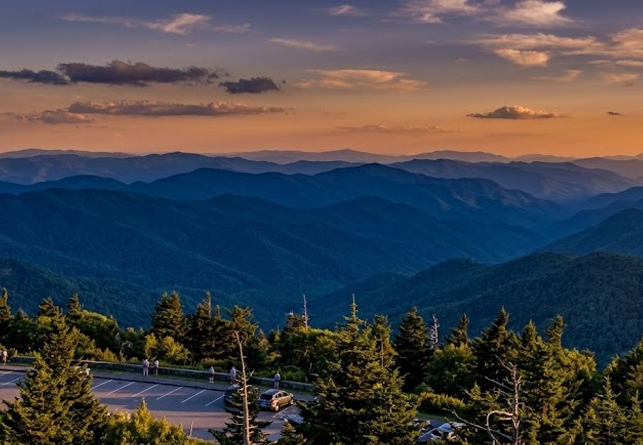
Climbing southwest out of Asheville, this dramatic mountain passage contains the highest, wildest terrain on the entire Parkway. The road tops out at Richland Balsam (MP 431), reaching 6,053 feet above sea level, where Fraser firs and red spruce forests create an authentic Canadian-boreal microclimate.
Key turnouts along this high-altitude corridor include the dramatic cliffs of Devil's Courthouse (MP 422.4), the cascading streams of Graveyard Fields (MP 418.8), and the panoramic visitor terrace at Waterrock Knob (MP 451.2). Because these elevations sit above 5,000 feet, fall foliage turns brilliant shades of gold and copper two weeks earlier than in Asheville valleys, often peaking in late September.
4. The Virginia Heritage & Mountain Music Byway (Roanoke to Galax, MP 115–MP 215)
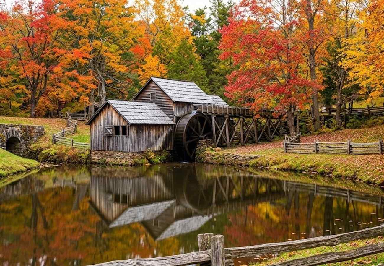
Threading through the rolling rural plateau of southwestern Virginia, this 100-mile stretch offers a slower, culturally rich road trip. The landscape opens into pastoral farmlands, split-rail fences, and historic pioneer homesteads framed by the gentle ridges of the Blue Ridge Plateau.
The undisputed centerpiece is Mabry Mill (MP 176), a historic water-powered gristmill with a picturesque wooden water wheel reflecting across a mirror-still millpond. Just six miles off the Parkway at MP 165 lies the tiny mountain town of Floyd. Visiting on a Friday evening allows you to attend the famous traditional old-time Appalachian music jam at the Floyd Country Store, where local fiddlers and flatfoot dancers fill the street.
5. The High Country Escarpment Run (Boone to Little Switzerland, MP 276–MP 334)
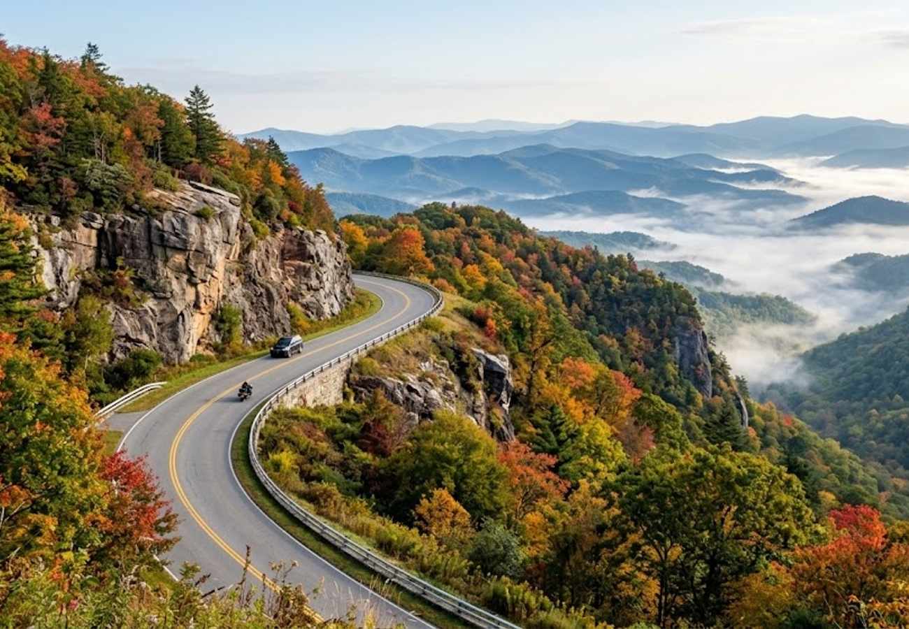
Tracing the dramatic eastern edge where high Appalachian peaks drop abruptly into the North Carolina foothills, this 58-mile route balances historic mountain estates with sheer drop-offs. Starting near Boone, explore the sprawling stone mansion and 25 miles of carriage roads at Moses H. Cone Memorial Park (MP 294), followed by a quiet walk around Julian Price Memorial Lake.
Continuing south past the Diamond Creek escarpment, the road arrives at the mountain hamlet of Little Switzerland (MP 334). Founded in 1910 and inspired by the Swiss Alps, this cozy retreat offers historic chalet inns, tavern dining, and direct access to the thrilling switchbacks of NC Route 226A (known to driving enthusiasts as "The Diamondback").
6. Mount Mitchell Summit Drive (MP 355 via NC 128)
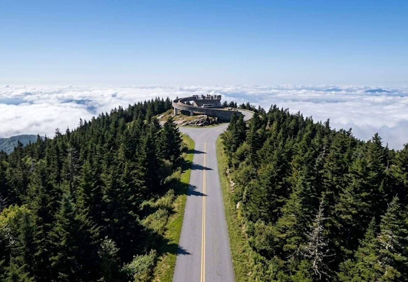
At Milepost 355.4, peel off the main Parkway onto North Carolina Highway 128, a 4.5-mile spur road that climbs directly into Mount Mitchell State Park. Reaching an elevation of 6,684 feet, Mount Mitchell stands as the highest peak in mainland North America east of the Mississippi River.
The steep drive up Highway 128 transports you into a subalpine spruce-fir forest draped in mist and fragrant mountain resin. From the summit parking lot, a short paved path leads to an elevated stone observation platform providing unobstructed views stretching nearly 100 miles on clear days. Temperatures at the summit can be 15°F to 20°F cooler than in nearby valleys, so carry a heavy windbreaker even on mild summer afternoons.
7. Doughton Park Pastoral Balds & Basin Cove (MP 216–MP 248)

Spanning over 6,000 acres, Doughton Park is the largest recreational park land directly on the Blue Ridge Parkway. Unlike the narrow, rocky gorges of higher elevations, Doughton Park features expansive grassy balds, rolling alpine meadows, and historic timber cabins surrounded by grazing livestock.
Take time to walk through the historic Brinegar Cabin (MP 238.5), a preserved 1880s mountain homestead showcasing traditional pioneer loom weaving. From Wildcat Rocks overlook, peering over the stone guardwall reveals the sheer 1,500-foot drop into the untouched wilderness of Basin Cove. Because Doughton Park sits at a comfortable 3,700-foot elevation, it remains remarkably peaceful when peak crowds clog Grandfather Mountain further south.
8. Looking Glass Rock & The Forest Heritage Byway Spur (MP 412 via US 276)
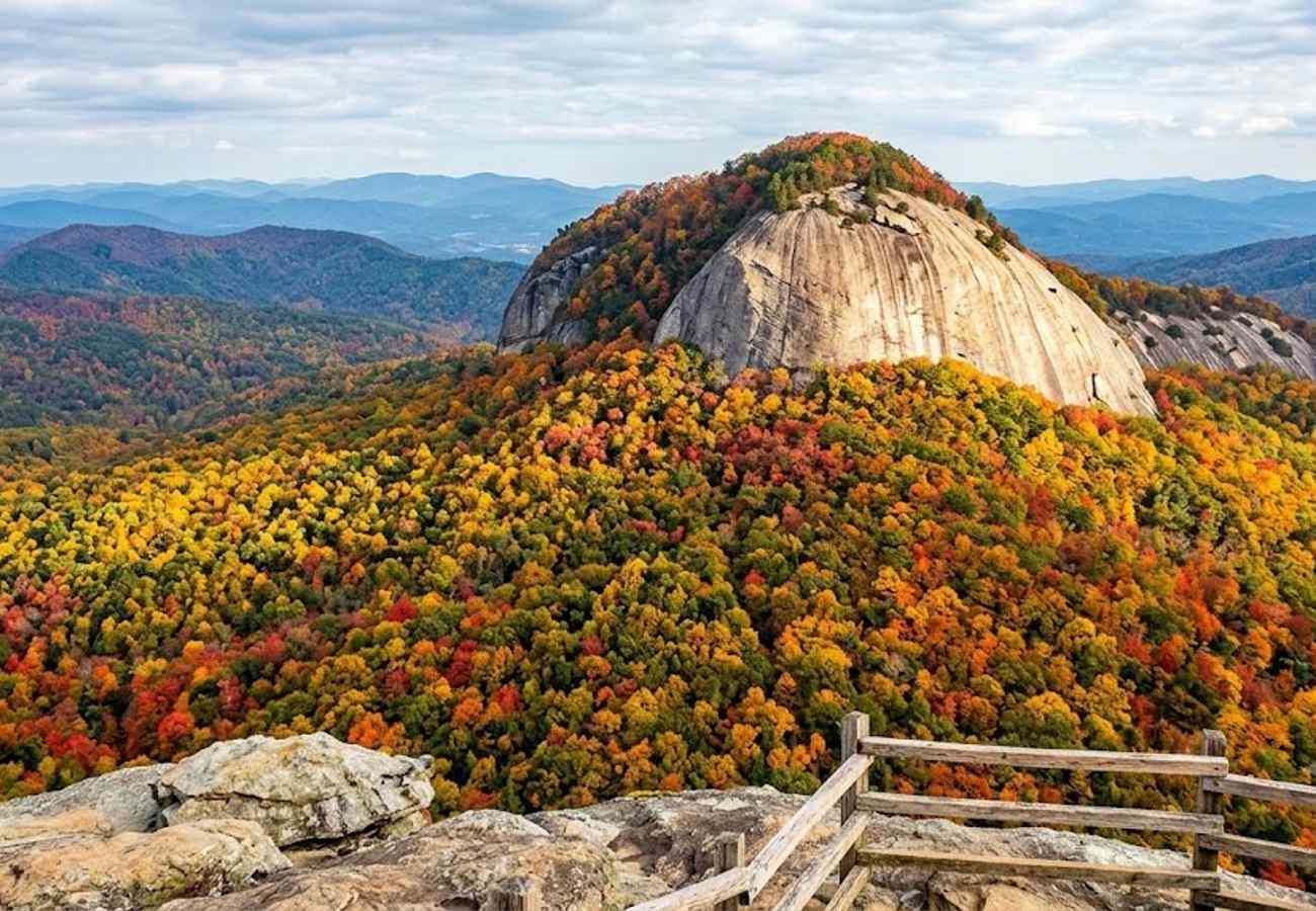
At Wagon Road Gap (MP 412), you can merge off the Parkway onto US Route 276, designated as the Forest Heritage Scenic Byway, descending deep into Pisgah National Forest toward Brevard. This 15-mile detour delivers roadside access to some of the most celebrated geological formations and waterfalls in the Blue Ridge province.
Standouts include the monolithic granite dome of Looking Glass Rock, which glitters like a mirror when rainwater freezes or reflects morning sunlight on its sheer stone face. Further down the mountain road, stop at Looking Glass Falls—a thunderous 60-foot waterfall cascading into a crystal-clear mountain pool right beside the highway pavement, requiring zero hiking effort.
9. Linville Falls & The Grand Canyon of the East (MP 305–MP 317)
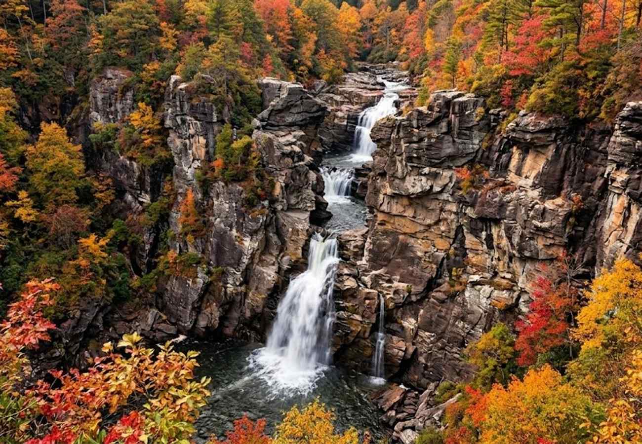
Carved over millions of years by the Linville River, the Linville Gorge Wilderness is often hailed as the "Grand Canyon of the East." Plunging nearly 2,000 feet into raw wilderness, the canyon walls present sheer quartzite cliffs and deep, inaccessible boulder fields.
From the Parkway visitor center at MP 316.3, a network of well-maintained trails leads to multiple vantage points of Linville Falls, where the river crashes through a twin upper cascade before plunging 45 feet into the deep stone basin below. For travelers equipped with high-clearance vehicles, exploring the gravel perimeter road (Old NC 105) along the western rim unlocks wild, remote sunset viewpoints far from commercial overlook crowds.
10. The Great Smoky Mountains Crossing (Cherokee to Clingmans Dome, MP 450–MP 469+)
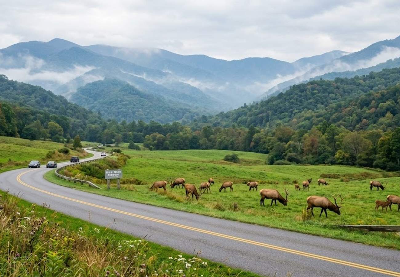
The southern terminus of the Blue Ridge Parkway at Milepost 469 merges directly into the gateway of Great Smoky Mountains National Park near Cherokee, North Carolina. This transition zone blends indigenous Cherokee heritage with vast protected wilderness.
Stop at the Oconaluftee Visitor Center just beyond the Parkway entrance during early morning or twilight to observe wild herds of reintroduced elk grazing in the open river meadows. From Cherokee, continue up Newfound Gap Road (US 441) to the high-ridge crest at Clingmans Dome (6,643 ft) to watch evening mountain fog drift across endless ripples of purple and blue Appalachian ridges.
Essential Practical Advice for Parkway Drivers
- Monitor Real-Time Road Status: Severe weather, rockslides, and maintenance frequently cause rolling road closures. Before turning your key, always consult the official National Park Service Blue Ridge Parkway Road Closures portal.
- Master the Milepost Markers: Commercial GPS systems frequently struggle with Parkway navigation and try to reroute motorists onto faster multi-lane freeways. Download offline maps and navigate using the stone concrete milepost markers placed on the roadside every single mile from 0 to 469.
- Plan Gas and Food Access: The Parkway itself has virtually no commercial gas stations or fast food franchises. You must periodically exit the Parkway down side spurs into gateway towns like Waynesboro, Roanoke, Boone, or Asheville to refuel.
- Book Campgrounds Well in Advance: Developed park campgrounds such as Mount Pisgah, Julian Price, and Peaks of Otter fill rapidly during summer and autumn. Reserve campsites ahead of time through Recreation.gov.
Frequently Asked Questions
How many days does it take to drive the entire Blue Ridge Parkway?
Driving the full 469 miles comfortably takes 3 to 5 days. With a maximum speed limit of 45 mph, numerous scenic turnouts, and slow-moving recreational vehicles, attempting to drive more than 100 to 120 miles in a single day leaves little time for hikes and overlooks.
Are there entrance fees or tolls on the Blue Ridge Parkway?
No. The Blue Ridge Parkway is completely free to drive, with zero toll booths or park entrance fees along the entire 469-mile mainline highway.
When is peak fall foliage on the Blue Ridge Parkway?
Peak color spans several weeks due to dramatic elevation changes. High-elevation points above 5,000 feet (such as Mount Mitchell, Graveyard Fields, and Grandfather Mountain) typically peak between October 1 and October 10. Mid-elevation areas peak between October 12 and October 20, while low-elevation valleys peak in late October.
Can RVs and oversized campers drive the Parkway?
Yes, standard RVs and campers are welcome on the Parkway. However, drivers must pay close attention to tunnel clearances, particularly in North Carolina, where 25 of the Parkway's 26 tunnels are located and several feature low arched clearances below 13 feet.
There is a profound stillness found while watching the sun sink behind layers of hazy blue ridges—a reminder that some of the greatest journeys are best taken at forty-five miles per hour.
Related Travel Guides
Disclaimer
This article is for informational and educational purposes only. It does not constitute legal, financial, or professional advice. While we strive to provide accurate and up-to-date information, travel policies, regulations, and conditions change rapidly. Always verify information with official sources before making travel decisions. Nomad Lawyer makes no representations about the accuracy, reliability, completeness, or suitability of the information provided. Readers should consult qualified professionals for advice specific to their circumstances. The views expressed in this article are those of the author and do not necessarily reflect the views of Nomad Lawyer.
Raushan Kumar
Founder & Lead Developer
Full-stack developer with 11+ years of experience and a passionate traveller. Raushan built Nomad Lawyer from the ground up with a vision to create the best travel and law experience on the web.
Learn more about our team →