
Severe Storms Hit New York and Pennsylvania in 2026: Tornado Watch 645 and Flood Risks Disrupt Travel
Severe thunderstorms, Tornado Watch 645, and flash flood warnings are disrupting travel across western New York and north-central Pennsylvania, impacting major airport hubs and road networks.
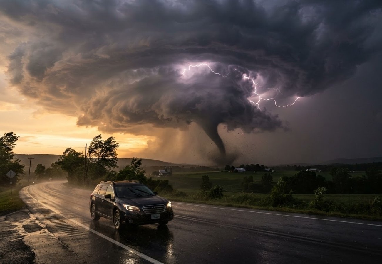
Image generated by AI
Severe weather systems including Tornado Watch 645 and flash flood warnings are currently impacting western and central New York and north-central Pennsylvania. Travelers face significant risks from 70 mph wind gusts, large hail, and sudden road closures.
Regional Weather Disruption Overview
On the evening of September 2, 2026, a rapidly shifting severe weather front moved eastward across New York and Pennsylvania. The National Weather Service (NWS) has issued a series of high-priority alerts, including tornado watches, severe thunderstorm warnings, and flash-flood warnings, creating hazardous conditions for both air and ground transport.
The volatility of this system means that conditions are changing county-by-county. A transition from a "watch" to a "warning" indicates an immediate threat, requiring travelers to seek shelter rather than continue their journey.
While airport closures have not been formally announced, the atmospheric conditions are sufficient to trigger ground stops, reduced visibility, and significant delays.
- Buffalo Niagara International Airport: Directly situated within the area covered by Tornado Watch 645.
- Greater Rochester International Airport: Official observations have already confirmed active thunderstorms and heavy rain.
- Affected Hubs: Potential for disruption at airports serving Syracuse, Binghamton, Ithaca, Elmira, and Watertown.
- Operational Hazards: Lightning, strong crosswinds, and reduced visibility are the primary drivers for potential flight cancellations or diversions.
Ground Transport and Road Hazards
Motorists traveling through the Finger Lakes region and rural corridors of New York and Pennsylvania are facing immediate physical risks.
- Wind and Hail: Radar-indicated wind gusts of up to 70 mph have been reported in western New York, capable of causing structural tree damage and vehicle impact.
- Flooding: An NWS Binghamton Flood Watch is in effect for central New York and northeastern Pennsylvania through Thursday morning.
- Pennsylvania Impact: Severe thunderstorm warnings remain active for Clinton, Lycoming, McKean, Potter, and Tioga counties. Severe Thunderstorm Watch 646 remains in effect for several areas until midnight EDT.
- Critical Road Risks: Flash flooding in low-lying areas and fallen debris on primary highways.
Passenger Rights & Advisory
For the affected passenger, weather-related disruptions often lead to confusion regarding compensation and rebooking. Our analysis of aviation policy and DOT guidelines suggests the following:
Flight Cancellations and Delays Under US Department of Transportation (DOT) guidelines, if a flight is cancelled due to "Acts of God" (severe weather), airlines are generally not required to provide monetary compensation. However, they are obligated to provide a full refund if the passenger chooses not to travel on the alternative flight offered.
Duty of Care For passengers stranded at hubs like Buffalo or Rochester, airlines should assist with rebooking. If the delay is extended overnight, passengers should verify if their travel insurance covers "trip interruption" due to severe weather.
Road Traveler Action Plan
- Real-Time Monitoring: Do not rely on cached screenshots. Use 511NY and 511PA for official state traffic updates.
- Shelter Priority: If a Tornado Warning is issued for your specific GPS coordinates, stop the vehicle and find a substantial building immediately.
- Route Planning: Avoid low-lying roads in central New York and northeastern Pennsylvania until the Flood Watch expires Thursday morning.
This event highlights the increasing volatility of "moving" weather systems. Unlike a stationary storm, this front requires travelers to maintain a hyper-local awareness. The primary risk for the travel industry here is the "ripple effect"—a delay in Buffalo can cause missed connections in major hubs like JFK or ATL, leading to systemic delays across the Northeast corridor.
Tourism operators in the Finger Lakes and north-central Pennsylvania should prepare for a surge in late arrivals and requests for flexible check-in times as road conditions fluctuate.
Stay alert and prioritize safety over schedules during active tornado warnings.
Related Travel Guides
Disclaimer
This article is for informational and educational purposes only. It does not constitute legal, financial, or professional advice. While we strive to provide accurate and up-to-date information, travel policies, regulations, and conditions change rapidly. Always verify information with official sources before making travel decisions. Nomad Lawyer makes no representations about the accuracy, reliability, completeness, or suitability of the information provided. Readers should consult qualified professionals for advice specific to their circumstances. The views expressed in this article are those of the author and do not necessarily reflect the views of Nomad Lawyer.