
Wildfires Expand Across Oregon, California, British Columbia, and Southern Europe: 148,000-Acre Rowe Creek Fire Forces Closures and Travel Controls
Wildfires disrupt summer travel across Oregon (Rowe Creek 148K acres), California (Biscar 69K acres), BC, and Southern Europe with closures.

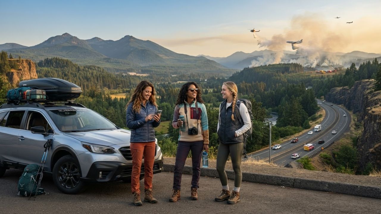
Image generated by AI
Wildfires Expand Across Oregon, California, British Columbia, and Southern Europe: 148,000-Acre Rowe Creek Fire Forces Closures and Travel Controls
SEO Title: Global Wildfire Travel Disruptions & Oregon Fires (2026)
Meta Description: Wildfires disrupt summer travel across Oregon (Rowe Creek 148K acres), California (Biscar 69K acres), BC, and Southern Europe with closures.
Slug: oregon-california-bc-wildfires-summer-travel-disruptions-2026
Standfirst: Active wildfires across North America and Europe are disrupting peak summer tourism, led by Oregon's 148,000-acre Rowe Creek Complex, California's 69,000-acre Biscar Fire, and severe incidents in British Columbia, Spain, and France.
Article
Summer travel across North America and Europe faces widespread operational disruptions as wildfire blazes expand across Oregon, California, British Columbia, Spain, France, Portugal, and Greece.
In Oregon, the Rowe Creek Complex has surpassed 148,000 acres across Wheeler, Wasco, and Crook counties. BLM land closures affect the John Day River corridor and portions of John Day Fossil Beds National Monument, including the Painted Hills and Clarno units, while smoke advisories cover Deschutes, Jefferson, Crook, and Jackson counties.
Pacific Northwest and California Transport Corridors
In California, the Biscar Fire near Susanville has burned over 69,000 acres, causing disruptions along US Highway 395 in Lassen County, while the Rock Fire in Inyo County triggered eastern Sierra evacuations.
Farther north in British Columbia, the Brunswick Creek and Ainslie Creek fires forced evacuations around Boston Bar and disrupted traffic along Highway 1 through the Fraser Canyon.
European Fires and Extreme Risk Categories
Across Southern Europe, Spain's La Mierla wildfire expanded across 29,000 hectares in Guadalajara, forcing the evacuation of 800 residents.
In France, a 800-hectare fire in the Fontainebleau Forest near Noisy-sur-École forced 900 evacuations near Paris, while Greece declared Category-Five extreme fire danger across multiple regions on July 22.
Data Tables
1. Multi-Regional Wildfire & Travel Impact Matrix
| Region / Destination | Primary Incident Name | Burn Area / Perimeter | Travel Impact & Operational Status |
|---|---|---|---|
| Oregon | Rowe Creek Complex | >148,000 Acres | John Day Fossil Beds closures, smoke advisories |
| California | Biscar Fire | >69,000 Acres | US Highway 395 closures in Lassen County |
| British Columbia | Brunswick & Ainslie Creek | Active fire complex | Highway 1 Fraser Canyon delays, Boston Bar evacuations |
| Spain (Guadalajara) | La Mierla Fire | 29,000 Hectares | 800 rural residents evacuated |
| France (Fontainebleau) | Noisy-sur-École Fire | 800 Hectares | 900 hikers/residents evacuated near Paris |
| Greece | Statewide Preparedness | Category-Five Risk | Preventive forest access closures on July 22 |
2. Oregon Wildfire Incident & Closure Breakdown
| Oregon Fire Incident | Affected Counties | Primary Recreation / Road Closure |
|---|---|---|
| Rowe Creek Complex | Wheeler, Wasco, Crook | John Day River, Painted Hills & Clarno units |
| Akawa Butte & Brewer | Deschutes, Crook | Central Oregon trail & forest restrictions |
| East Evans Creek | Jackson, Douglas | Local rural access road closures |
| Hagen Fire | Umatilla, Union | Tollgate area evacuation notices |
Key Takeaways
- Rowe Creek Fire Exceeds 148,000 Acres: Oregon's largest blaze forces closures at John Day Fossil Beds National Monument.
- California & BC Route Closures: US 395 in California (69K-acre Biscar Fire) and BC Highway 1 (Fraser Canyon) face closures.
- European Disruption: Spain's 29,000-hectare La Mierla fire and France's Fontainebleau forest blaze force mass evacuations.
- Real-Time Planning: Travelers should monitor official state dashboards (e.g., Oregon TripCheck, Caltrans) before departure.
FAQ
Is Oregon closed to tourists due to wildfires?
No. Most destinations remain open, but specific areas like parts of John Day Fossil Beds National Monument face temporary closures.
How large is California's Biscar Fire?
The Biscar Fire near Susanville, California, has burned over 69,000 acres, affecting travel along US Highway 395.
What official sources should travelers use to monitor wildfire road closures?
Travelers should check official state portals like Oregon TripCheck, Caltrans QuickMap, and DriveBC rather than unverified social media.
Disclaimer
This article is for informational and educational purposes only. It does not constitute legal, financial, or professional advice. While we strive to provide accurate and up-to-date information, travel policies, regulations, and conditions change rapidly. Always verify information with official sources before making travel decisions. Nomad Lawyer makes no representations about the accuracy, reliability, completeness, or suitability of the information provided. Readers should consult qualified professionals for advice specific to their circumstances. The views expressed in this article are those of the author and do not necessarily reflect the views of Nomad Lawyer.
Kunal K Choudhary
Co-Founder & Contributor
A passionate traveller and tech enthusiast. Kunal contributes to the vision and growth of Nomad Lawyer, bringing fresh perspectives and driving the community forward.
Learn more about our team →