
NYC Nor'easter Track Shifts West: Mayor Mamdani Issues Travel Advisory for September 2026
Mayor Zohran Mamdani has issued an urgent travel advisory as a strengthening nor'easter shifts closer to New York City, threatening flight delays, coastal flooding, and transit disruptions.

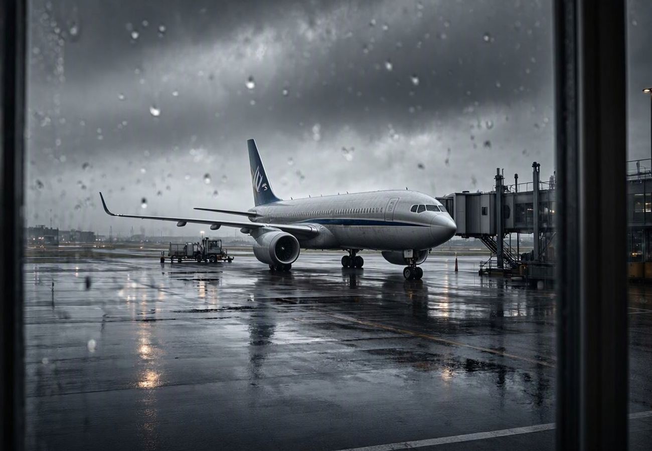
Image generated by AI
[New York City, September 26, 2026] — Mayor Zohran Mamdani has issued an urgent travel advisory as a strengthening early autumn nor'easter shifts its projected path westward, bringing the core of the storm directly toward the New York metropolitan area. The revised track increases the likelihood of severe wind gusts, heavy precipitation, and significant coastal flooding across the city's five boroughs through Sunday morning.
The advisory, coordinated by New York City Emergency Management, is active from 2 p.m. Friday, September 25, through Sunday morning. This window overlaps with peak weekend commuter traffic and a high volume of tourist arrivals, prompting officials to warn that the storm will be a prolonged event rather than a brief weather burst.
The Shift in Storm Trajectory
Updated data from the National Weather Service (NWS) indicates the storm system is tracking closer to the urban center than previous models suggested. This shift puts the city in the direct path of the storm's most intense bands. Forecasters are now predicting 2 to 3 inches of rainfall across the city, with some neighborhoods potentially seeing 4 to 5 inches if heavy rain bands stall over specific areas.
The most severe weather is expected to hit between late Friday, September 25, and Saturday night. While widespread flash flooding is not the primary forecast, the NWS warns that isolated flooding is highly probable in low-lying areas or zones with inadequate drainage.
Simultaneously, a Wind Advisory is in effect. Sustained onshore winds are building, with gusts predicted to reach 40 to 50 miles per hour from Friday night through Saturday night. These winds are expected to be most volatile on elevated roadways, bridges, and exposed coastal strips, raising the risk of power outages and falling debris.
Regional Transit and Aviation Impact
The storm's timing and intensity create a high-risk environment for the region's primary transportation hubs. While official bulletins have not yet announced blanket cancellations, the combination of crosswinds, low cloud ceilings, and heavy rain typically triggers operational slowdowns.
| Transit Sector | Expected Impact | High-Risk Areas |
|---|---|---|
| Aviation | Ground delays, reroutes, and schedule changes | JFK, LGA, and Newark Liberty (EWR) |
| Rail | Potential slowdowns and crowding | Coastal zones, catenary lines, Long Island, CT |
| Roads | Inundation of underpasses and shorelines | Coastal parkways, low-lying Manhattan/Brooklyn |
| Ferries | Potential service suspensions due to surge | New York Harbor, Jamaica Bay |
Air travelers are urged to monitor their flight status via the Federal Aviation Administration (FAA) or their respective airline apps. Ground delays are common during these coastal events as air traffic controllers manage spacing amidst unpredictable wind shears.
Commuter and intercity rail services into Manhattan are expected to remain active, though officials warn of delays where tracks are exposed to coastal surges or where strong gusts may impact overhead power lines. Travelers heading toward the Jersey Shore or Long Island should prepare for increased transit times.
What This Means for Travelers
For anyone currently in New York or planning to arrive this weekend, this is not a "stay indoors for a few hours" event; it is a multi-day disruption.
If you are flying: Do not head to the airport without verifying your flight status. Even if your flight is "on time," ground delays at JFK or LaGuardia can add hours to your journey. Expect longer security lines if diverted flights cause terminal congestion.
If you are driving: Avoid all coastal roads during the critical high-tide windows. The most dangerous periods are Friday evening (7:30 p.m. to 8:30 p.m.) and Saturday morning (7:30 a.m. to 8:40 a.m.). Water levels combined with storm surge can make familiar underpasses impassable in minutes.
If you are visiting: Outdoor itineraries for Friday and Saturday should be considered compromised. Waterfront promenades, piers, and open-air plazas will experience the full force of 50 mph gusts, making walking with luggage hazardous. Shift your plans to indoor museums or theaters.
City Response and Safety Protocols
New York City Emergency Management has fully activated the city's flash flood emergency plan. This includes a coordinated effort with state agencies and utility providers to clear catch basins and inspect known flood-prone "trouble spots" to minimize roadway ponding.
The city has issued specific directives for those in high-risk housing:
- Vehicle Relocation: Owners of cars parked in coastal or low-lying neighborhoods are urged to move them to higher ground before the Friday evening high tide.
- Residential Safety: Residents of ground-floor or basement apartments in flood zones are advised to identify multiple exit routes and be prepared to move to upper floors.
- Property Securing: Visitors in hotels or short-term rentals should bring in balcony furniture, planters, or any loose items that could become airborne projectiles in high winds.
Coastal flooding is expected to be moderate around Jamaica Bay and southern Queens, with minor to moderate inundation likely near the Battery in lower Manhattan and along the Staten Island and Brooklyn coastlines.
Coastal Hazards and Beach Safety
Beyond the city center, the nor'easter is generating dangerous conditions along the Atlantic coast. Wave heights of 6 to 12 feet are impacting the Jersey Shore and Long Island, leading to significant beach erosion.
Although the official swimming season has ended, the risk of rip currents remains high. Local authorities are warning pedestrians to stay away from jetties and rock outcrops. Large breaking waves can unexpectedly sweep across waterfront walkways and piers, posing a drowning risk to unsuspecting tourists.
Travelers are encouraged to sign up for the city's text-based emergency alert services to receive real-time updates on road closures and flooding alerts as they move between boroughs.
FAQ: NYC Nor'easter September 2026
Are flights to JFK, LGA, and EWR cancelled? There are currently no blanket cancellations, but ground delays and reroutes are expected due to heavy rain and 50 mph wind gusts. Check your airline's official app for real-time updates.
Which areas of NYC are most likely to flood? The Battery in lower Manhattan, Jamaica Bay, southern Queens, and coastal sections of Brooklyn and Staten Island are at the highest risk for moderate coastal flooding.
When are the most dangerous tide windows? The highest risk for coastal flooding occurs Friday, September 25, from 7:30 p.m. to 8:30 p.m., and Saturday, September 26, from 7:30 a.m. to 8:40 a.m.
Will the subway continue to run? Most services are expected to remain operational, but elevated lines and coastal tracks may experience slowdowns due to wind and rain.
Stay clear of the coast and keep your devices charged.
Related Travel Guides
Disclaimer
This article is for informational and educational purposes only. It does not constitute legal, financial, or professional advice. While we strive to provide accurate and up-to-date information, travel policies, regulations, and conditions change rapidly. Always verify information with official sources before making travel decisions. Nomad Lawyer makes no representations about the accuracy, reliability, completeness, or suitability of the information provided. Readers should consult qualified professionals for advice specific to their circumstances. The views expressed in this article are those of the author and do not necessarily reflect the views of Nomad Lawyer.
Naina Thakur
Contributor & Travel Specialist
Travel enthusiast and legal writer covering visa regulations, responsible tourism, and cultural journeys across global destinations.
Learn more about our team →