
Wildfire Crisis Disrupts Summer Tourism Across North America
Wildfire emergencies are disrupting summer travel plans in Canada, the US, and southern Europe, prompting national park closures and evacuations.
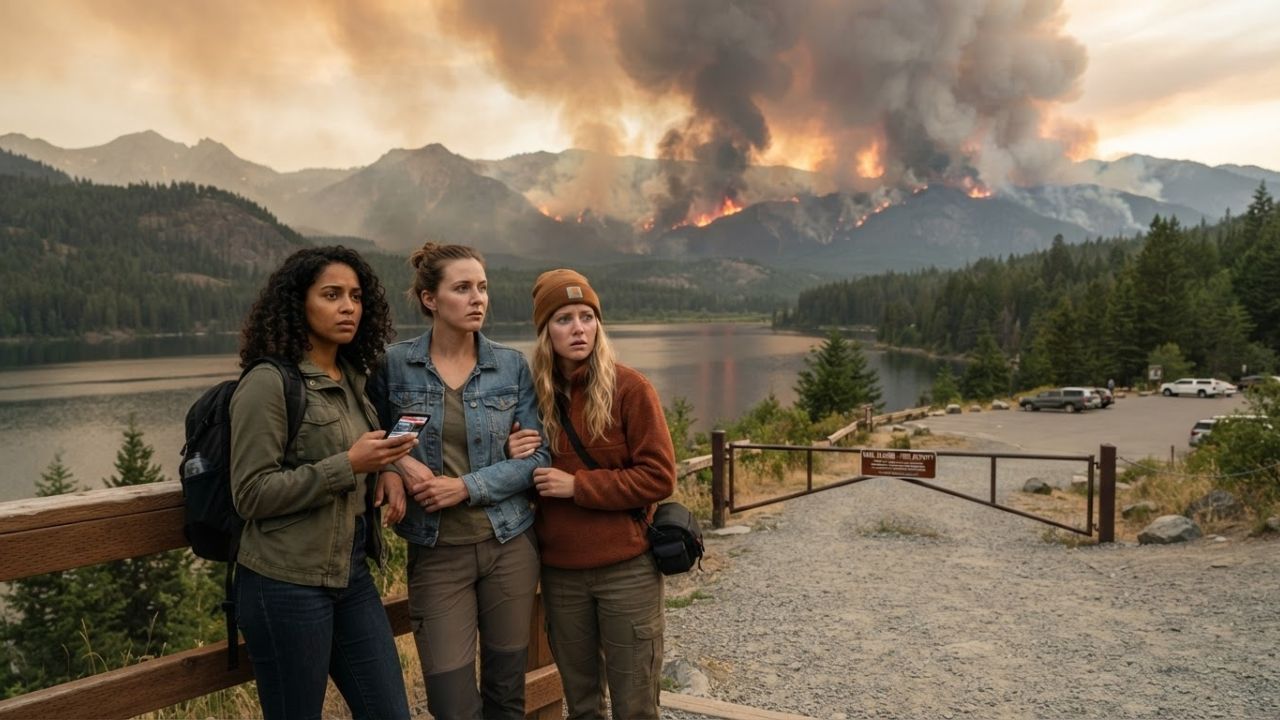
Image generated by AI
Wildfire emergencies are disrupting summer travel schedules in Canada, the United States, and Europe, forcing national park closures and communities to evacuate.
The Core Transit Update
Active forest fires and extreme heat domes are disrupting international travel corridors, national park access, and summer vacation schedules across the Northern Hemisphere. In Canada's British Columbia, the Bald Range wildfire has grown to approximately 9,500 hectares west of Okanagan Lake, forcing more than 20,000 evacuations across Peachland and Summerland.
Concurrently, western United States gateways (including California, Arizona, Colorado, Montana, Wyoming, Utah, and Texas) are managing explosive fire risks near popular adventure parks, while southern European destinations and Indonesia's Mount Bromo implement temporary wilderness restrictions.
Global Wildfire Disruption & Regional Risk Specifications
Navigating forest reserves and park corridors during wildfire seasons requires monitoring containment updates and local air quality indices. The following tables outline global wildfire impacts and Western US risk profiles.
| Country Gateway | Primary Wildfire Risk Zone | Major Tourism Sector Disrupted | Key Mitigation / Closure Status |
|---|---|---|---|
| Canada | British Columbia (Okanagan) | Wine tours, lake resorts, cabins | 20,000 evacuated (Bald Range) |
| United States | Western States (CA, AZ, CO, WY) | National parks, camping, road trips | Area trail closures & smoke warnings |
| France | Southern Mediterranean coast | Rural estates, coastal retreats | Forest access controls active |
| Spain | Heat-exposed rural regions | Outdoor trekking & agritourism | Warning monitors in dry districts |
| Greece | Aegean islands & coastal resorts | Historical site tours, resorts | High-frequency wind watch patrols |
| Turkey | Southern & Western coastlines | Mediterranean resort corridors | Constant thermal camera mapping |
| Indonesia | Mount Bromo (East Java) | Volcanic trekking, eco-reserves | Temporary park access restrictions |
| Australia | Vulnerable bushland corridors | Nature-based wildlife tours | Seasonal fire bans in bush blocks |
Global wildfire disruptions to international tourism sectors.
| Western US State | Key Tourism Gateway at Risk | Primary Ecological Vulnerability | Action Plan / Traveler Guideline |
|---|---|---|---|
| California | Sierra Nevada / mountain parks | High forest density & heat dome | Stay on cleared paved roads |
| Arizona | Desert parks & canyons | Low rainfall & high summer temp | Avoid dry wilderness hiking |
| Colorado | Rocky Mountain hiking trails | Deadwood scrub & lightning storms | Check fire danger flag levels |
| Utah | Red rock wilderness reserves | Exposed dry brush corridors | Register with back-country rangers |
Wildfire danger parameters across Western US destinations.
Traveler Logistics Guide
From a ground-level perspective, the best way to navigate this is to download the official park service apps (such as the US National Park Service App or Canada's provincial emergency portals) before entering any remote wilderness, as lightning strikes and shifting winds can instantly isolate trailheads. Pre-registering your back-country route is recommended.
To plan your trip under fire warning conditions:
- Air Quality Monitoring: Use real-time monitoring sites like AirNow (US) or WeatherEs (Canada) to check PM2.5 particulate concentrations, especially if traveling with children or senior citizens.
- National Park Access Checks: Confirm road and trail statuses before departure. Parks like Mount Bromo in East Java (Indonesia) will immediately enforce temporary area bans during nearby volcanic brush fires.
- Flexible Accommodation Plans: Select lodging providers outside high-risk zone perimeters that offer flexible cancellation fees or date changes during active state-of-emergency declarations.
- Campfire Restrictions: Adhere strictly to local burn bans. Many dry forest reserves forbid all open flames, charcoal grills, and gas stoves during peak summer heat waves.
Infrastructure Impact Assessment
The escalating scale of global wildfire seasons challenges the resilience of nature-based tourism economies. Beyond immediate property loss, wide-reaching smoke corridors travel hundreds of kilometers, reducing visibility at scenic outlooks and impacting coastal resort operations in countries like France, Spain, and Greece.
By upgrading emergency communications and coordinating fire safety evacuations, park authorities protect both international travelers and regional wilderness assets, ensuring the long-term viability of outdoor recreation corridors.
Related Travel Guides
UK Remains Canada's Top Overseas Tourism Market as Summer Begins
Shravani Mela 2026 Deoghar Travel Tips and Logistics Guide
10 Best Travel Tips for Wildfire Destinations, According to Reddit
Disclaimer
This article is for informational and educational purposes only. It does not constitute legal, financial, or professional advice. While we strive to provide accurate and up-to-date information, travel policies, regulations, and conditions change rapidly. Always verify information with official sources before making travel decisions. Nomad Lawyer makes no representations about the accuracy, reliability, completeness, or suitability of the information provided. Readers should consult qualified professionals for advice specific to their circumstances. The views expressed in this article are those of the author and do not necessarily reflect the views of Nomad Lawyer.