
Queenstown Airport Winter Road Safety Guide: Hidden Alpine Hazards Tourists Face in New Zealand
Queenstown winter road conditions force arriving tourists to navigate black ice, snow chain rules, and steep alpine passes across the South Island.

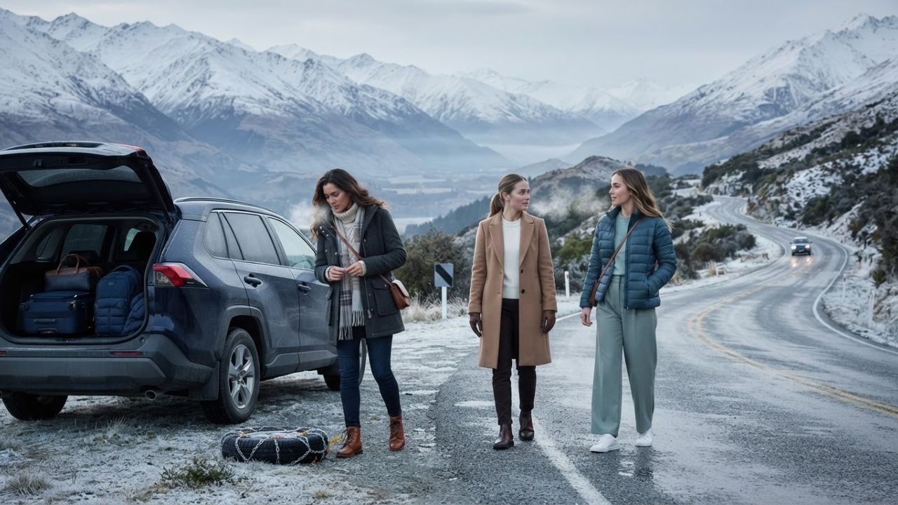
Image generated by AI
Freezing temperatures, black ice, and sudden alpine snowfall across New Zealand's South Island are prompting urgent safety advisories for tourists arriving at Queenstown Airport. Key transit corridors—including the Crown Range Road, State Highway 6, and mountain ski field access routes—require strict preparation, mandatory snow chains, and real-time route monitoring from June through August.
[QUEENSTOWN, New Zealand] — Arriving at Queenstown Airport during the winter season can create a false sense of security for international vacationers. While the runway and surrounding Frankton basin may appear clear, high-altitude passes and shaded valley roads just minutes away present severe winter driving hazards, including black ice, heavy snowpack, and rapid weather shifts across Central Otago.
From June to August, major tourism corridors connecting Queenstown Airport to Wānaka, Arrowtown, Cardrona, and regional ski fields encounter sub-zero temperatures. Local transport authorities emphasize that visiting drivers must understand winter road conditions before departing rental car terminals.
Post-Landing Reality: Why Frankton Conditions Mislead Arriving Drivers
Landing at Queenstown Airport offers stunning views of snow-capped peaks, but low-altitude valley conditions around Frankton rarely reflect the hazards awaiting on mountain highways. Tourists collecting rental vehicles often head directly toward Queenstown town centre, Arrowtown, Wānaka, or nearby ski resorts without anticipating sudden road freezes.
Early morning and late evening hours represent the most hazardous travel windows as ambient temperatures fall below freezing. Black ice poses the greatest danger to self-drive tourists because damp road surfaces freeze into transparent ice sheets that resemble ordinary wet tarmac.
| Hazard Type | Primary Location | Operational Action |
|---|---|---|
| Black Ice | Shaded corners, bridges, river runs | Reduce speed, avoid |
| along SH6 & SH6A | sudden braking | |
| Heavy Snowpack | Crown Range Road & Ski Access Roads | Fit snow chains at |
| (Coronet Peak, Remarkables, Cardrona) | designated bays | |
| Avalanche Risk | Milford Road (SH94) to Milford Sound | Monitor NZTA status |
| & coach updates |
Shaded mountain cut-outs, river bridges, and road sections adjacent to the Kawarau River are especially prone to black ice. The Queenstown Lakes District Council issues real-time road reports, snow chain enforcement notices, and temporary pass closures to guide traveling motorists.
Comprehensive Vulnerability Breakdown of Key Queenstown Transit Corridors
Winter weather impacts specific transit corridors differently depending on elevation, orientation to sunlight, and local terrain features.
| Route Name | Main Tourism Connection | Primary Winter Hazards | Specific Tourism Impact |
|---|---|---|---|
| Crown Range Road | Queenstown – Arrowtown – Cardrona – Wānaka | Heavy snow, black ice, steep switchbacks, mandatory chain rules | Delays Wānaka transit; impacts Cardrona ski visitors and self-drive tours |
| State Highway 6 (Frankton–Cromwell) | Queenstown Airport – Gibbston – Cromwell – Central Otago | Black ice, severe morning frost, reduced visibility | Impacts Gibbston wine tours, road trips, and onward South Island travel |
| State Highway 6A | Queenstown Airport – Queenstown Town Centre | Morning frost, icy patches in shaded lakefront sections | Causes delays for hotel transfers, airport shuttles, and local taxis |
| Coronet Peak Access Road | Queenstown – Coronet Peak Ski Area | Compacted snow, ice, heavy ski traffic volumes | Forces unprepared drivers to use commercial ski shuttles |
| The Remarkables Ski Road | Queenstown – The Remarkables Ski Area | Steep alpine ascents, unsealed snow-covered sections | Directly impacts access for winter sports enthusiasts |
| Cardrona Valley Road | Queenstown/Wānaka – Cardrona Alpine Resort | Mountain ice, snowdrifts, narrow alpine lanes | Impacts ski holiday logistics and resort accommodation access |
| Milford Road (SH94) | Queenstown – Milford Sound | Deep snowpack, avalanche risks, frequent road closures | Forces tour operators to adjust or cancel coach excursions |
Crown Range Road Presents High-Altitude Hazards for Self-Drive Tourists
The Crown Range Road stands as New Zealand’s highest paved main road, offering scenic views as it connects Queenstown and Arrowtown to Wānaka via Cardrona. However, its high altitude renders it vulnerable to rapid winter weather degradation.
Featuring steep inclines and sharp switchbacks, the pass frequently experiences overnight freezes and sudden blizzards. When severe weather hits, authorities enforce mandatory snow chain controls or close the pass entirely for safety.
| Route Choice | Key Characteristics | Winter Viability |
|---|---|---|
| Crown Range Road | Direct alpine pass via Cardrona; | High risk of snow, |
| steep climbs, high elevation | ice & chain mandates | |
| State Highway 6 Bypass | Lower elevation via Cromwell & | Longer drive (+30m), |
| Kawarau Gorge | far safer in storms |
For travelers heading between Queenstown and Wānaka during winter storms, bypassing the Crown Range via State Highway 6 through Cromwell provides a lower-altitude, safer alternative. Although the Cromwell detour adds roughly 30 minutes to the journey, its lower elevation avoids the extreme ice encountered on the high pass.
Ski Field Access Roads Challenge Winter Sports Travelers
Queenstown’s winter economy relies heavily on access to major ski areas, including Coronet Peak, The Remarkables, and Cardrona Alpine Resort. Thousands of domestic and international skiers navigate these alpine access roads daily.
Navigating steep, unsealed mountain roads creates severe difficulties for drivers unfamiliar with winter conditions. Common problems include:
- Rental cars lacking proper winter tires or all-wheel-drive systems.
- Drivers attempting to fit snow chains for the first time on icy slopes.
- Traffic gridlock caused by vehicles slipping on unplowed sections.
- Heavy morning and afternoon peak congestion during ski field opening and closing hours.
Due to these hazards, local authorities strongly recommend that visiting skiers utilize commercial ski shuttles and mountain transport services operating from Queenstown town centre and Frankton.
State Highway 6 and Regional Tourism Corridors Require Caution
State Highway 6 connects Queenstown Airport with Gibbston Valley, Cromwell, and Central Otago. While it avoids the extreme elevation of the Crown Range, winter drivers must remain alert for morning frost, river fog, and black ice.
This corridor supports vital tourism activities, including Central Otago wine tasting tours, self-drive journeys to Mount Cook, and inter-city coach transit across the South Island.
Further south, the Milford Road (SH94) linking Queenstown to Milford Sound passes through severe alpine terrain. Avalanche risks and heavy snowpack frequently force temporary highway closures, requiring tour companies to modify coach schedules or rebook scenic flights.
Essential Snow Chain Protocols and Winter Safety Checklist
Carrying and knowing how to fit snow chains is a fundamental legal and safety requirement for winter driving in the Queenstown Lakes District.
Essential Winter Driving Checklist
| Column 1 |
|---|
| 1. Practice fitting snow chains before departing the rental depot. |
| 2. Verify that rental vehicle insurance covers alpine road travel. |
| 3. Monitor real-time Queenstown Lakes District Council road reports daily. |
| 4. Fit chains only in designated chain-fitting bays on snowpacked surfaces. |
| 5. Avoid driving at night when sub-zero temperatures freeze road moisture. |
| 6. Allow double the standard travel time for mountain passes. |
The Queenstown Lakes District Council emphasizes that drivers should never attempt to fit chains directly in active traffic lanes. Designated chain-fitting bays are located at the base of major alpine climbs, allowing motorists to install equipment safely before ascending into snow zones.
Strategic Impact Analysis & Travel Plan Management
Unpredictable winter road conditions directly affect the broader regional tourism economy. When mountain passes close or icy roads slow transit times, activity providers must adapt quickly.
Helicopter excursion operators, scenic bus tours, wine tasting guides, and hotel transfer services routinely adjust operational itineraries based on morning road condition reports. Visitors maintaining tight flight connection schedules at Queenstown Airport must build generous travel buffers to account for winter road delays.
Why This Matters: Experienced Perspective for Travelers and Drivers
For the traveler, understanding Queenstown's winter road risks prevents dangerous driving situations and costly trip disruptions. Renting an all-wheel-drive vehicle, carrying snow chains, and checking daily council road updates allows tourists to enjoy scenic snowy landscapes safely.
For tour operators and rental agencies, clear customer education regarding black ice and mountain driving rules is critical. Ensuring arriving fliers understand local road conditions protects visitor safety while maintaining smooth regional tourism operations across New Zealand's South Island.
Frequently Asked Questions
Is driving around Queenstown in winter difficult for tourists?
Driving can be challenging due to black ice, sub-zero temperatures, and snow on mountain passes. While town roads around Frankton are well-maintained, high-altitude routes require winter driving experience and proper equipment.
What is black ice, and where is it most dangerous near Queenstown?
Black ice is a thin, transparent layer of frozen moisture on road surfaces. It is most dangerous on shaded road sections, river bridges, and mountain passes along State Highway 6, SH6A, and the Crown Range Road during early mornings and evenings.
Are snow chains mandatory on Queenstown roads during winter?
Snow chains are legally required to be carried when traveling over high-altitude routes like the Crown Range Road and ski field access roads when snow conditions exist. Signage indicates when chains must be fitted.
What is the safest alternative route between Queenstown and Wānaka?
If the high-altitude Crown Range Road is icy or closed, the safest alternative is State Highway 6 via Cromwell and the Kawarau Gorge. It is a lower-elevation route that adds roughly 30 minutes of travel time.
Related Travel Guides
Disclaimer
This article is for informational and educational purposes only. It does not constitute legal, financial, or professional advice. While we strive to provide accurate and up-to-date information, travel policies, regulations, and conditions change rapidly. Always verify information with official sources before making travel decisions. Nomad Lawyer makes no representations about the accuracy, reliability, completeness, or suitability of the information provided. Readers should consult qualified professionals for advice specific to their circumstances. The views expressed in this article are those of the author and do not necessarily reflect the views of Nomad Lawyer.
Kunal K Choudhary
Co-Founder & Contributor
A passionate traveller and tech enthusiast. Kunal contributes to the vision and growth of Nomad Lawyer, bringing fresh perspectives and driving the community forward.
Learn more about our team →