Midwest Severe Weather Alert June 2026: Tornadoes, Flight Delays Threaten Chicago, Cincinnati, Indianapolis
NOAA issues severe thunderstorm warning across Illinois, Indiana, Ohio Valley June 17, 2026. Tornadoes, damaging winds, hail threaten airport operations and highway travel across Midwest.
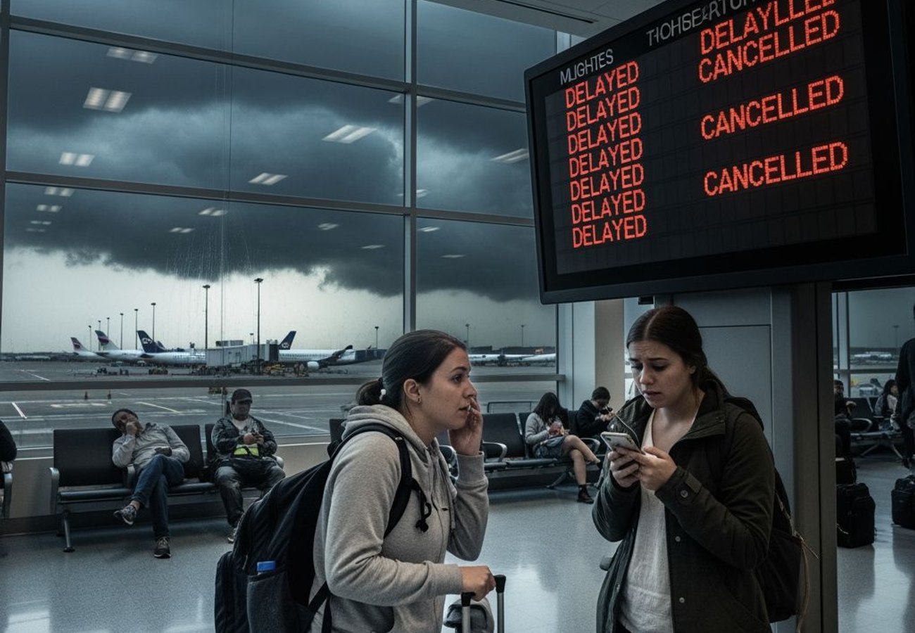
Image generated by AI
A Major Severe Weather System Is About To Disrupt Travel Across The Entire Midwest
NOAA forecasters issued an urgent severe weather alert on June 17, 2026, placing travellers, airlines, airports and highway networks across the Midwest and Ohio Valley on high operational watch. The threat is real, immediate and multi-layered: tornadoes, damaging winds exceeding 75 mph, large hail, flash flooding and aviation delays are all on the table. The strongest focus sits squarely over Illinois and Indiana, but wider disruption extends into Ohio, Kentucky, Missouri and southern Michigan — a five-state region that anchors American transportation infrastructure.
This is not simply a weather story. It is an operational crisis waiting to happen.
Why This Storm Threatens More Than Just One Region
The geographic scope matters enormously for the travel industry. Chicago O'Hare, Indianapolis International and Cincinnati's airport network sit directly in the path of severe thunderstorm development. These are not small regional airports — they are critical hub cities that connect thousands of daily flights across domestic and international networks.
When storms disrupt a major hub, the consequences cascade. Aircraft get held away from storm cores. Air traffic control routes flights around severe cells, creating longer routes and congestion. Departure and arrival sequencing breaks down. Crews get stranded. Connections are missed. And within hours, a single airport's weather disruption can ripple across an entire airline network.
Reddit: "Flying into Chicago tomorrow morning and I'm already checking radar obsessively. Hub disruption is the worst because it affects flights that aren't even near the storms." — r/travel
The Core Threat Zone: Illinois And Indiana Face The Strongest Risk
Illinois and Indiana are the primary danger zone. The National Weather Service confirmed intense tornado potential, damaging straight-line winds and large wind-driven hail as the main hazards. Storm timing is critical here: development begins mid-afternoon, intensifies through evening, and pushes eastward into the overnight period.
This timing is especially problematic for business travellers and airline operations. Late-afternoon departures face real disruption risk. But here's the operational nightmare: even if storms clear by early Thursday morning, airlines will still be recovering from missed connections, crew positioning issues and aircraft that were diverted or held overnight.
Chicago is the epicenter. As one of the largest aviation markets in the United States, disruption there affects not just local travellers but anyone connecting through the city. A single severe thunderstorm can reduce airport arrival rates by 40% or more, according to FAA operational data. That's not a minor inconvenience — that's network-wide gridlock.
The Ohio Valley: Overnight Storms Create Different (But Equally Serious) Problems
Cincinnati, Dayton and Columbus face a different but equally dangerous scenario. The National Weather Service in Wilmington, Ohio flagged severe storm risk across the Ohio Valley from late afternoon through the overnight period. Night-time thunderstorms present unique operational challenges.
Visibility plummets. Staffing thins out. Travellers are less alert to warnings. Hotels scramble to accommodate missed connections. Ground crews work in dangerous conditions. Road visibility drops to dangerous levels. Flash flooding becomes harder to spot and more lethal.
The primary threats in the Ohio Valley are damaging wind gusts, large hail, local flash flooding and isolated tornadoes. While this zone sits slightly south of the core Illinois-Indiana danger area, the timing actually makes it more operationally disruptive because overnight disruptions are harder to recover from quickly.
Why Severe Thunderstorms Disrupt Aviation Faster Than Any Other Weather Hazard
Thunderstorms are the aviation industry's operational kryptonite. They produce turbulence, lightning, wind shear, heavy precipitation, hail and rapidly shifting visibility — all at once, all unpredictably.
Here's what happens operationally: pilots and dispatchers receive FAA thunderstorm forecasts and real-time warnings for their routes. Air traffic control sectors issue advisories. Approach and departure controllers begin spacing arrivals farther apart to create safety margins around storm cells. Some aircraft get rerouted entirely to avoid dangerous cores.
The result? A single thunderstorm complex over Illinois or Indiana doesn't just affect flights landing there. It affects en-route sectors, connecting airports, departure queues and crew scheduling across the entire Midwest. One delayed aircraft becomes five delayed aircraft becomes 20 missed connections.
Chicago O'Hare was already under real-time FAA monitoring on the morning of June 17, with general delay information published to travellers. That's your signal that conditions are already degrading.
A Five-State Travel Disruption Map: Where The Danger Zones Are
| Travel Zone | Main States | Key Cities | Primary Threat | Timing |
|---|---|---|---|---|
| Core severe risk | Illinois, Indiana | Chicago, Indianapolis | Tornadoes, damaging wind, large hail | Afternoon to evening |
| Ohio Valley risk | Ohio, Kentucky, eastern Indiana | Cincinnati, Dayton, Columbus | Damaging wind, hail, flash flooding, isolated tornadoes | Evening to overnight |
| Western development zone | Missouri, Illinois | St. Louis, central Illinois corridors | Supercell development, eastward movement | Late afternoon |
| Northern edge | Southern Michigan, northern Indiana | South Bend, lower Michigan | Conditional tornado and wind risk | Evening |
| Network impact | Midwest hubs and connectors | Chicago O'Hare, Cincinnati, Indianapolis | Rolling delays, diversions, missed connections | Through the event |
What Business Travellers And MICE Groups Need To Do Right Now
Corporate travel teams managing meetings, conferences, exhibitions and incentive groups moving through the Midwest have zero time to waste. Check with your airlines immediately. Don't assume morning announcements mean afternoon clarity — severe weather forecasts can sharpen or shift dramatically within hours.
Allow extra time for ground transfers. Heavy rain, wind damage and flash flooding can slow highway movement significantly. If you're driving to a regional airport, consider departing earlier than normal. If you're heading to a major hub like Chicago or Indianapolis, assume longer taxi times and potential ground delays.
For event organisers: review outdoor reception plans, shuttle timings and supplier arrival windows. A single delayed connection can unravel carefully orchestrated delegate movements and catering logistics. Communicate alternative plans to speakers, freight operators and key stakeholders before conditions deteriorate.
Corporate mobility teams should also prepare contingency accommodation near major hubs. Missed connections from severe weather disruption can quickly exhaust hotel inventory.
Road Travellers Face Equally Serious Dangers
Highway travel is exposed to the same threats. Severe thunderstorms bring falling trees, dangerous visibility, sudden road flooding and destructive hail. Tornadoes and straight-line wind gusts can make vehicles unsafe — especially on exposed highways and bridges.
The safety guidance is unambiguous: vehicles are poor shelters during severe thunderstorms and tornadoes. If you are driving through affected areas and severe warnings are issued, pull off at a sturdy building — a store, restaurant, gas station — and wait it out. Continuing to drive during tornado warnings is genuinely life-threatening.
The Recovery Window: Thursday Morning Will Still Be Chaotic
Storms should clear by early Thursday, June 18. But don't expect immediate normality. Airlines will be repositioning aircraft, rebalancing crews and managing cascading delays from the previous evening. Ground operations will be clearing debris and assessing storm damage.
If you have Thursday morning flights out of Chicago, Cincinnati or Indianapolis, build in extra connection time. The airport and airlines will still be in recovery mode.
Weather disruption is the one travel wildcard nobody controls — but preparation makes all the difference.
Related Travel Guides
Disclaimer
This article is for informational and educational purposes only. It does not constitute legal, financial, or professional advice. While we strive to provide accurate and up-to-date information, travel policies, regulations, and conditions change rapidly. Always verify information with official sources before making travel decisions. Nomad Lawyer makes no representations about the accuracy, reliability, completeness, or suitability of the information provided. Readers should consult qualified professionals for advice specific to their circumstances. The views expressed in this article are those of the author and do not necessarily reflect the views of Nomad Lawyer.

Preeti Gunjan
Contributor & Community Manager
A passionate traveller and community builder. Preeti helps grow the Nomad Lawyer community, fostering engagement and bringing the reader experience to life.
Learn more about our team →