
Wisconsin Moves With Michigan as US Flooding Forecast Raises Flash-Flood Risks Across Key Travel Regions
NOAA issues a rare Moderate Risk of excessive rainfall across Wisconsin, Michigan, Illinois, and Iowa, threatening severe flight delays and highway flash flooding.

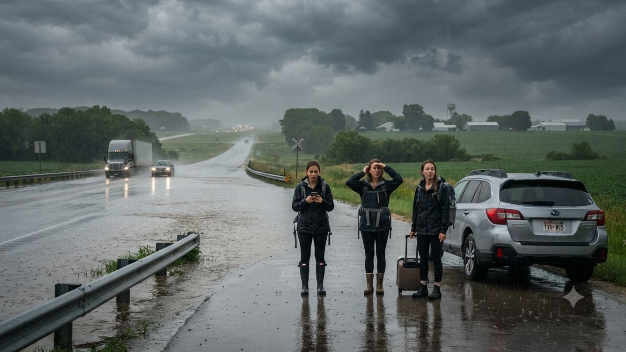
Image generated by AI
Atmospheric precipitable water values surging past two inches and a rare Moderate Risk declaration from federal meteorologists signal a high-impact flash flooding emergency across five Midwestern states on Saturday, September 19, 2026. Issued by the Weather Prediction Center (WPC), the severe excessive rainfall outlook places eastern Iowa, northern Illinois, southern Wisconsin, southwestern Michigan, and northern Indiana squarely in the path of training thunderstorm complexes capable of unleashing rainfall rates of 2.5 inches per hour. Following a deadly flood disaster on September 16 that claimed three lives on the Navajo Nation in New Mexico, the expanding weather pattern threatens critical interstate freight corridors, Amtrak regional lines, and primary aviation hubs including Chicago O'Hare and Midway. As the moisture plume migrates toward the Ohio Valley, Great Lakes, Mid-Atlantic, and Northeast through September 23, travelers face cascading airport ground stops, washed-out secondary highways, and hazardous outdoor recreation conditions.
Atmospheric Physics and Sea-Surface Records: The Engine Driving 2026 Convective Training
The meteorological dynamics driving this late-summer precipitation event stem from an unusually volatile atmospheric setup interacting with unprecedented global thermal baselines. Climatological assessments released by the National Oceanic and Atmospheric Administration (NOAA) confirm that August 2026 ranked as the warmest August globally in its 177-year observational record spanning 1850 to 2026. The broader June-to-August period established an all-time record for meteorological summer warmth across the globe, while North America registered its warmest August in recorded history.
Crucially, global sea-surface temperatures attained an all-time August peak, energized by strengthening El Niño conditions across the central and eastern equatorial Pacific. These superheated oceanic reservoirs dramatically accelerate evaporation rates, loading the lower atmosphere with deep tropical moisture. When a slow-moving surface low-pressure system pulls this moisture northward through the Mid-Mississippi Valley, it encounters atmospheric boundaries that trigger convective training.
Training convection occurs when repeated thunderstorm cells form, mature, and track across the exact same geographic footprint like boxcars on a railway line. The WPC projects precipitable water (PWAT) values to exceed 1.8 inches across the Upper Midwest, with localized moisture anomalies surpassing 2.0 inches west of Lake Michigan. In an environment with that level of atmospheric water vapor, convective storms dump torrential rain with maximum efficiency, overwhelming civil storm-drain networks and rapidly turning highway underpasses into impassable flood zones.
Multi-Regional Travel Disruption: The September 19–23 Impact Matrix
The flash flood threat evolves across multiple geographical stages through mid-week. On Saturday, September 19, the primary danger centers on the Moderate Risk zone spanning southern Wisconsin, northern Illinois, southwestern Michigan, northern Indiana, and eastern Iowa. The convective storms directly menace key transit arteries including Interstate 80, Interstate 90, and Interstate 94, where standing water and blinding rain create dangerous hydroplaning conditions.
On September 19 and 20, heavy precipitation shifts across the Upper Midwest, Southern Great Lakes, and Ohio Valley, before advancing toward the central Appalachians and the Northeast on September 20 and 21. By September 21 through 23, deep moisture gathers over the Southern Mid-Atlantic and the Carolinas, where PWAT measurements between 1.75 and 2.25 inches will support hourly rainfall rates up to 2.5 inches and local storm totals reaching four inches. Concurrently, Hawaii confronts lingering tropical moisture following the passage of Norbert, with a secondary tropical disturbance threatening steep volcanic hiking trails and coastal roads with localized runoff through September 23.
This nationwide weather pattern follows closely behind fatal flash flooding in the American Southwest. On September 16, three individuals—two adults and one child—lost their lives when rapid floodwaters swept through the Navajo Nation near Newcomb, New Mexico. The tragedy highlights the extreme peril of flash flooding in arid and mountainous terrain: torrential monsoonal downpours falling miles upstream can surge through dry arroyos with little warning, underscoring why local warnings from the National Weather Service (NWS) demand immediate traveler compliance.
| Forecast Period | High-Risk Geographic Corridors | WPC Threat Level | Primary Travel & Infrastructure Vulnerabilities |
|---|---|---|---|
| September 19 | Eastern Iowa, Northern Illinois, Southern Wisconsin, SW Michigan, Northern Indiana | Moderate Risk | Ground delays at ORD/MDW; Interstate 80/90/94 flooding; rail delays |
| September 19–20 | Upper Midwest, Southern Great Lakes Basin, Central Ohio Valley | Heavy Rain & Thunderstorms | Saturated subsoils; regional highway ponding; Amtrak slow orders |
| September 20–21 | Upper Ohio Valley, Lower Great Lakes, Portions of Northeast | Slight Risk | Urban runoff in Pittsburgh/Cleveland; localized airport holds |
| September 21–23 | Southern Mid-Atlantic, North & South Carolina, Parts of New Mexico | Slight Risk | Hourly rainfall rates up to 2.5 inches; Southwest arroyo surges |
| Through September 23 | Hawaiian Archipelago (Windward and Mountainous Slopes) | Elevated Tropical Moisture | Flash flooding on mountain trails; washouts on coastal scenic roads |
| Transportation Sector | Primary Failure Mechanism | Operational Consequence | Traveler Mitigation Action |
|---|---|---|---|
| Commercial Aviation | Convective cloud tops and ramp lightning advisories | Ground stops, extended gate holds, and missed connections | Monitor airline apps; build 3+ hour buffers at hubs |
| Interstate Highways | Rapid water accumulation and hydroplaning | Multi-lane closures, reduced speeds, and zero visibility | Avoid driving through standing water; use state 511 |
| Passenger Rail | Track washouts, ballast instability, and signal failures | Speed restrictions, schedule revisions, and cancellations | Confirm Amtrak train status prior to station arrival |
| Outdoor Recreation | Sudden arroyo surges, mudslides, and slippery ridgelines | Trail closures, stranding, and life-threatening flash floods | Cancel canyon hikes; heed NWS flash flood warnings |
Expert Analysis: The Hub-and-Spoke Fragility and Training Storm Mechanics
For travelers booking transcontinental itineraries through the Midwest, the direct consequence of this weather pattern is acute vulnerability to network-wide delay propagation. Chicago's aviation facilities represent the structural nervous system of American commercial aviation. When training thunderstorms stall over northern Illinois and southern Wisconsin, the Federal Aviation Administration implements ground delay programs, spacing incoming aircraft and halting ramp operations whenever lightning strikes within airport perimeters. Because aircraft and flight crews operate in continuous multi-leg rotations, a two-hour ground stop at O'Hare cascades into flight cancellations across Denver, New York, Atlanta, and Los Angeles.
The pricing pressure this creates means stranded passengers face immediate surges in last-minute hotel rates and rental car inventory shortages in major transit cities. Travelers who fail to monitor flight statuses hours ahead of departure risk getting trapped behind congested rebooking desks. Furthermore, because convective weather falls under force majeure exclusions in standard airline contracts of carriage, carriers are not legally obligated to provide complimentary hotel accommodations or food vouchers for weather-related delays.
On highway corridors, the hazard is deceptive. Unlike winter blizzards that announce themselves with falling temperatures, training summer downpours can transform a clear interstate into a deadly water trap within minutes. In saturated agricultural flatlands across southern Wisconsin, northern Indiana, and eastern Iowa, field runoff quickly overwhelms culverts, spilling onto high-speed highways. In the Southwest, where three lives were lost on the Navajo Nation, flash floods travel down dry ravines miles ahead of actual storm clouds. Whether driving across Midwest prairies or hiking Southwestern canyons, travelers must treat any active flash flood watch as an immediate operational hazard.
Key Takeaways
- WPC Declares Moderate Risk: Federal meteorologists issued a Moderate Risk of excessive rainfall for September 19 across southern Wisconsin, northern Illinois, SW Michigan, northern Indiana, and eastern Iowa.
- Dangerous Water Vapor Metrics: Precipitable water values exceeding 2.0 inches will generate intense storm bursts producing up to 2.5 inches of rain per hour and localized accumulations reaching 4 inches.
- Multi-Day Cross-Country Shift: The convective corridor tracks eastward into the Ohio Valley and Northeast on Sept 20–21, before delivering heavy rain to the Mid-Atlantic and Carolinas through Sept 23.
- Deadly New Mexico Warning: The alert follows the tragic drowning of three people on the Navajo Nation on September 16, proving the extreme speed and lethality of sudden flash floods.
- Aviation Hub Vulnerability: Convective storms centered over the Chicago terminal airspace will trigger ground stops and cascading flight disruptions across nationwide hub-and-spoke airline networks.
FAQ: Midwest and US Flooding Travel Advisory 2026
Which states face the highest risk of flash flooding on September 19, 2026?
The Weather Prediction Center identified southern Wisconsin, northern Illinois, southwestern Michigan, northern Indiana, and eastern Iowa under a high-level Moderate Risk for excessive rainfall and flash flooding.
How will the Midwest storms impact commercial air travel?
Torrential rain and ramp lightning will trigger FAA ground stops and departure delays at major connection hubs like Chicago O'Hare and Midway, causing cascading missed connections nationwide.
What caused the recent fatal flooding in New Mexico?
On September 16, deep monsoonal moisture produced intense flash floods that swept away and killed three people on the Navajo Nation near Newcomb, highlighting the danger of desert arroyos.
What should motorists do when encountering flooded roadways?
Never attempt to drive through water covering a roadway. As little as twelve inches of moving water can float a vehicle; drivers should turn around and seek higher detour routes.
[When atmospheric moisture hits tropical levels across the heartland, the most expensive mistake a traveler can make is assuming a thunderstorm will pass in twenty minutes.]
Related Travel Guides
The 10 Best Airline Lounges at New York JFK Airport, According to Reddit (2026 Guide)
The 10 Best Hotels in Las Vegas, According to Reddit (2026 Guide)
Disclaimer
This article is for informational and educational purposes only. It does not constitute legal, financial, or professional advice. While we strive to provide accurate and up-to-date information, travel policies, regulations, and conditions change rapidly. Always verify information with official sources before making travel decisions. Nomad Lawyer makes no representations about the accuracy, reliability, completeness, or suitability of the information provided. Readers should consult qualified professionals for advice specific to their circumstances. The views expressed in this article are those of the author and do not necessarily reflect the views of Nomad Lawyer.
Raushan Kumar
Founder & Lead Developer
Full-stack developer with 11+ years of experience and a passionate traveller. Raushan built Nomad Lawyer from the ground up with a vision to create the best travel and law experience on the web.
Learn more about our team →