
Connecticut Coastal Cities Face Sea Level Rise and Storm Surges Threatening Long Island Sound Travel Corridors by 2050
Rising seas, heatwaves, and 5-to-8-foot storm surges threaten Connecticut coastal rail networks, ferries, and I-95 corridors across Bridgeport, New Haven, and Groton.

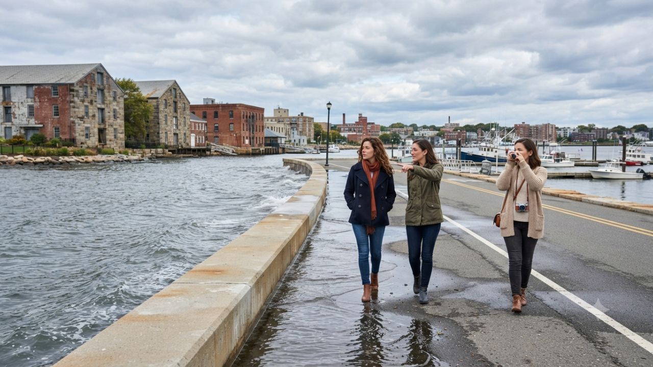
Image generated by AI
Accelerating sea level rise, intense nor'easter storm surges, and urban heat spikes threaten critical transit infrastructure across Bridgeport, New Haven, Stamford, New London, and Groton along the Long Island Sound coastline.
HARTFORD, Connecticut — Regional transportation authorities and municipal emergency planners across Connecticut are accelerating climate adaptation measures as technical forecasts project a 20-inch rise in sea levels along Long Island Sound by 2050. Driven by localized land subsidence and ocean circulation dynamics, tidal inundation and high-energy storm surges threaten low-lying rail lines, coastal highways, maritime ferry terminals, and industrial utility nodes.
According to regional resilience assessments, 33 critical infrastructure assets across 16 coastal municipalities face disruptive flooding at least twice annually by 2050, a number projected to surge to 127 assets by 2100. Key urban hubs including Bridgeport, New Haven, Stamford, New London, and Groton are deploying living shorelines, microgrid power networks, and stormwater backflow preventers to keep regional commuter networks operational during compound weather events.
| Municipal Hub | Primary Transit & Maritime Assets | Key Environmental Hazard | Statutory Defense Framework | Resilience Investment & Infrastructure Strategy |
|---|---|---|---|---|
| Bridgeport | Metro-North Rail, I-95 Corridor, Port Facilities | Tidal inundation & storm surges | Public Act 18-82 & National Disaster Resilience Grant | $35.6 million Eastern South End storm surge barrier & sea wall hardening |
| New Haven | Union Station (Amtrak/Metro-North), Port of New Haven | Chronic sunny day tidal flooding | Public Act 13-179 & Special Act 13-9 | Stormwater pump station upgrades & Living Shoreline salt marsh buffers |
| Stamford | Stamford Transportation Center, Downtown Core | Urban heat island (+3.5°F rise) | Municipal Hazard Mitigation Plan | Tree canopy expansion, cool roofs & microclimate thermal corridors |
| New London | Regional Ferry Terminals, Thames River Waterfront | Nor'easter surges (5 to 8 ft) | NOAA Sea Level Rise Standards | Hardening wastewater treatment facilities & 500-year flood barriers |
| Groton | Naval Submarine Base & Maritime Industrial Zone | Tidal edge inundation & outages | Salt Marsh Advancement Framework | Clean energy microgrid deployment & wetland migration corridor planning |
Coastal Inundation and Compound Flooding Disrupt Regional Transit Lines
Projections established by the Connecticut Institute for Resilience and Climate Adaptation (CIRCA) confirm that sea level rise along Long Island Sound outpaces global benchmarks. Enforced under state legislative mandates including Public Act 18-82, Public Act 13-179, and Special Act 13-9, municipal planning boards must integrate 20-inch sea level elevation benchmarks into all public capital improvements.
Compound flooding represents a severe vulnerability for regional transportation corridors. When powerful nor'easter tempests push storm surges between 5 and 8 feet up Long Island Sound, elevated ocean tides lock out swollen inland river systems such as the Mystic and Branford rivers. This hydraulic blockage causes rapid backup flooding across coastal rights-of-way, threatening the Metro-North New Haven Line, Amtrak Northeast Corridor tracks, and Interstate 95:
- Bridgeport South End Protection: Supported by $35.6 million from a total $54.2 million federal allocation via the National Disaster Resilience Competition, Bridgeport is constructing physical flood barriers and elevated arterial roadways to protect residential quarters and transit linkages.
- Statewide Resilience Coordination: An additional $8.3 million from federal NDRC funding supports the Connecticut Connections Coastal Resilience Plan, establishing unified engineering standards across coastal transit corridors.
- Natural Surge Absorption: Geospatial tracking via the Salt Marsh Advancement Zone Assessment guides the preservation of tidal wetlands. Natural salt marshes absorb up to 60% of incoming wave energy, providing essential buffer defense for inland rail embankments.
- Thermal Stress on Urban Rail: Climate summaries from the National Oceanic and Atmospheric Administration (NOAA) show average Connecticut temperatures have climbed by 3.5 degrees Fahrenheit since the early 20th century. Extreme heatwaves featuring nighttime minimum temperatures exceeding 70 degrees Fahrenheit place thermal strain on electrical catenary lines and rail tracks in Stamford and Bridgeport.
| Funding Instrument / Program | Total Allocation | Designated Recipient / Infrastructure Target | Primary Risk Mitigation Objective |
|---|---|---|---|
| National Disaster Resilience Competition (Federal) | $54.2 Million | Statewide Coastal Resilience Strategy | Comprehensive hazard mitigation & physical defense construction |
| Bridgeport South End Resilience Project | $35.6 Million | Bridgeport Eastern South End District | Erection of storm surge barriers, seawalls & arterial road raising |
| CT Connections Resilience Plan | $8.3 Million | Regional Coastal Transit Infrastructure | Multi-jurisdictional coordination for highway & rail flood defense |
| FEMA Community Rating System (CRS) | Direct Insurance Discount | Shoreline Property Owners (5% to 45% Off) | Incentivizes local floodplain management & municipal resilience coding |
Traveler Logistics Guide: Navigating Coastal Rail, Highways, and Ferry Terminals
Travelers transiting the Connecticut shoreline between New York City and Boston require updated routing protocols during coastal flood advisories and extreme heat warnings.
Regional Commuter Rail and Amtrak Operations
- Metro-North & Amtrak Northeast Corridor: The New Haven Line operates parallel to Long Island Sound. During severe nor'easters or high spring tides, check service advisories issued by the Connecticut Department of Transportation (CTDOT). Track alignment near Bridgeport, Milford, and New Haven can experience speed restrictions or temporary suspensions during surge events.
- Shore Line East Services: Passengers traveling between New Haven and New London should monitor coastal weather alerts. Connecting bus shuttles are deployed when low-lying tracks near coastal river mouths experience high water accumulation.
Highway Routing: Interstate 95 vs. Route 15 (Merritt Parkway)
- I-95 Coastal Vulnerability: Interstate 95 traverses low-elevation coastal zones across Stamford, Norwalk, Bridgeport, and New Haven. During combined storm surge and heavy rainfall events, coastal exit ramps and low underpasses risk temporary flash inundation.
- Inland Bypass Route: Drivers encountering coastal flood delays on I-95 should pivot inland to Route 15 (Merritt Parkway / Wilbur Cross Parkway). Note that Route 15 strictly prohibits commercial trucks, trailers, and oversized RVs.
Maritime Ferry Operations and Connection Lead Times
- Bridgeport & Port Jefferson Steamboat Company: Ferries crossing Long Island Sound can experience departures canceled during high nor'easter wind conditions or extreme surge tides that flood slip ramps. Arrive at the Bridgeport terminal at least 45 minutes prior to scheduled departure.
- Cross Sound Ferry (New London to Orient Point): Terminal facilities in New London are subject to storm surge warnings. Passengers should verify operational status online before traveling down Thames River access corridors.
| Transit Mode / Route | Primary Operating Corridor | Potential Weather Disruption | Alternative Routing / Travel Strategy |
|---|---|---|---|
| Metro-North New Haven Line | NYC Grand Central to New Haven Union Station | Track speed restrictions & catenary heat sag | Utilize inland express bus connections or delay non-essential trips |
| Interstate 95 (I-95) | Greenwich to Stonington shoreline corridor | Exit ramp flooding & low underpass impoundment | Detour via Route 15 (Passenger vehicles only; no commercial trucks) |
| Bridgeport Ferry Terminal | Bridgeport, CT to Port Jefferson, NY | High tide slip inundation & severe wave action | Confirm sailing status 2 hours prior; rebook via Port Washington rail |
| Shore Line East Rail | New Haven to New London coastal link | River mouth hydraulic backup flooding | Board CTtransit regional bus shuttles operating along US Route 1 |
Infrastructure Impact Assessment: Decentralized Microgrids and Ecosystem Resiliency
To safeguard essential services when storm surges knock out regional power grids, Connecticut municipalities are expanding decentralized clean energy microgrids built to withstand 100-year and 500-year flood thresholds. In Groton and New Haven, smart microgrids sustain continuous electricity for emergency response facilities, regional hospitals, and water treatment plants.
Concurrently, municipal participation in the Federal Emergency Management Agency (FEMA) Community Rating System (CRS) rewards proactive floodplain management. Certified resilience grades grant local homeowners and commercial businesses annual flood insurance premium discounts ranging from 5% to 45%, demonstrating how climate adaptation directly protects private property values and municipal economic stability.
Frequently Asked Questions
What are the primary climate threats impacting Connecticut's coastal travel networks?
Accelerating sea level rise (projected at 20 inches by 2050), compound flooding from 5-to-8-foot nor'easter storm surges, and urban heat island spikes disrupt regional rail, highway, and ferry transit corridors.
How many critical infrastructure assets in Connecticut face flood risks by 2050 and 2100?
Resilience assessments indicate 33 critical infrastructure assets across 16 coastal municipalities will flood at least twice annually by 2050, expanding to 127 assets by 2100 without mitigation.
How is federal funding being used for coastal protection in Connecticut?
Connecticut secured $54.2 million from the National Disaster Resilience Competition, allocating $35.6 million to Bridgeport's South End storm surge barrier and $8.3 million to the Connecticut Connections Coastal Resilience Plan.
How do salt marsh advancement zones protect shoreline transport routes?
Salt marshes naturally absorb up to 60% of incoming wave energy impact. Geospatial mapping under the Salt Marsh Advancement Zone Assessment allows wetlands to migrate inland, preserving natural surge barriers for coastal highways and rail lines.
Related Travel Guides
Disclaimer
This article is for informational and educational purposes only. It does not constitute legal, financial, or professional advice. While we strive to provide accurate and up-to-date information, travel policies, regulations, and conditions change rapidly. Always verify information with official sources before making travel decisions. Nomad Lawyer makes no representations about the accuracy, reliability, completeness, or suitability of the information provided. Readers should consult qualified professionals for advice specific to their circumstances. The views expressed in this article are those of the author and do not necessarily reflect the views of Nomad Lawyer.
Kunal K Choudhary
Co-Founder & Contributor
A passionate traveller and tech enthusiast. Kunal contributes to the vision and growth of Nomad Lawyer, bringing fresh perspectives and driving the community forward.
Learn more about our team →