
Colombia Emerges Alongside Ecuador and Others as Travel Technology Transforms Qhapaq Ñan Journeys
Colombia Emerges Alongside Ecuador and Others as Travel Technology Transforms Qhapaq Ñan Journeys

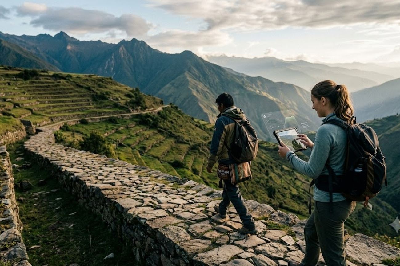
Image generated by AI
Six sovereign nations—Argentina, Bolivia, Chile, Colombia, Ecuador, and Peru—have now operationalized a shared digital conservation framework to monitor the 616.06 kilometers of the Qhapaq Ñan World Heritage property. This transition marks the shift of the Ayllu monitoring system from a theoretical development phase into active field deployment, beginning with critical activations in Pasto and Nariño, Colombia. While the ancient Andean road network historically spanned over 30,000 kilometers, the current digital effort focuses on a precise serial representation consisting of 137 component areas and 308 associated archaeological sites.
The Transition from Development to Field Deployment
The activation of Ayllu in 2026 is not the arrival of a new application, but the culmination of multiple UNESCO reporting cycles. For years, the conservation of the Qhapaq Ñan relied on Kamayuq, a tool specifically designed for risk assessment and monitoring. By 2023, Kamayuq had reached version 2.0, while Ayllu remained in a testing phase. The shift occurred between 2025 and 2026, as the World Heritage Committee began recognizing Ayllu-supported conservation training across the six member states.
In March 2026, the Colombian Institute of Anthropology and History (ICANH) transformed Pasto into a strategic hub. Delegations from all six participating nations gathered to move Ayllu from a laboratory setting into the rugged terrain of Chitarrán in Funes, Nariño. This was followed by a series of community-led workshops in August 2026 across El Contadero, Tangua, and Funes. These sessions were designed to create a scalable methodology for community-based monitoring that can be replicated across the entire Andean corridor, ensuring that the people living alongside these ancient roads are the ones documenting their state of preservation.
Regional Coordination and the Quito Secretariat
While Colombia provides the field-testing ground, Ecuador now provides the administrative architecture. From 2025 to 2027, Quito serves as the Qhapaq Ñan Pro Tempore Secretariat. This role, with Peru serving as the alternate secretariat, places Ecuador at the center of regional coordination for risk management, social use, and conservation dissemination.
The synergy between Pasto and Quito is essential for the network's survival. While Pasto handles the "ground truth" data collection, Quito manages the overarching work program. In July 2026, Ecuador reported the results of a preventive conservation project covering its northern, central, and southern sections, demonstrating how the coordination layer in Quito translates field data into policy and protection.
Comparative Data: The Six-State Heritage Network
The following data outlines the specific contributions and digital priorities of the member states involved in the Ayllu and GeoCAM ecosystems.
| Country | Verified World Heritage Distance | Key Sites/Communities | Digital & Tourism Focus |
|---|---|---|---|
| Argentina | ~119 km | 13 segments / 7 provinces | Community tourism and Andean north trekking |
| Bolivia | ~85.67 km | Desaguadero–Viacha corridor | Active participation in Ayllu field monitoring |
| Chile | 112.94 km | 138 sites / 9 communities | Remote-site risk monitoring in high-Andean zones |
| Colombia | ~17 km | Rumichaca–Pasto corridor | Field activation hub for Ayllu community training |
| Ecuador | ~108.9 km | 49 sites / 83 communities | Pro Tempore Secretariat (2025–2027) in Quito |
| Peru | (Origin Point) | Cusco (Central Hub) | Public-facing digital discovery via GeoCAM |
Expert Analysis: The Bifurcation of Heritage Data
For the modern traveler or adventure operator, the most critical takeaway is the strict separation between conservation data and tourism data. There is a common misconception that the digitization of heritage sites leads to a "Google Maps" style experience for the traveler. In the case of the Qhapaq Ñan, the opposite is happening: the data is being bifurcated to protect the resource.
Ayllu is a restricted professional tool. Its requirement for institutional validation and GPS-verified records means it is designed to prevent degradation, not to facilitate visitation. The tool's ability to work offline is a response to the extreme remoteness of the sites—remoteness that UNESCO explicitly notes has been a primary factor in the roads' preservation. By restricting Ayllu to authorized users, the six nations are preventing the "Instagram effect," where the public release of precise coordinates for fragile sites leads to an unmanageable surge in unregulated foot traffic.
Conversely, Peru's launch of the GeoCAM platform in July 2026 serves as the "public window." GeoCAM is the intended interface for the traveler, providing a discovery layer that informs without exposing the technical vulnerabilities of the sites.
Colombia is enhancing accessibility to the Qhapaq Ñan network through digitized permits and improved regional infrastructure. Travelers can coordinate their entry requirements and explore sustainable destination guides via Colombia Travel, the official tourism portal.
For tour operators, the direct consequence is that "off-the-beaten-path" exploration is becoming more strictly monitored. While Ayllu doesn't provide bookings or trail maps, the data it collects will directly inform which sections of the road are closed to the public or restricted to guided groups. The pricing and accessibility of these routes will likely be dictated by the risk assessments generated by the Kamayuq and Ayllu systems.
Key Takeaways
- Restricted Access: Ayllu is not a navigation app for tourists; it is a professional monitoring tool requiring institutional validation for use.
- Data Bifurcation: Travelers should look to Peru's GeoCAM platform for public digital information, as Ayllu is reserved for conservationists.
- Administrative Hub: Ecuador (Quito) holds the Pro Tempore Secretariat from 2025–2027, coordinating the six-country conservation framework.
- Community-Led Monitoring: The 2026 workshops in Nariño, Colombia, established a replication model for integrating local communities into heritage preservation.
- Scale of Protection: The effort focuses on 616.06 kilometers of high-value serial components, rather than the entire 30,000-kilometer historic network.
FAQ: Qhapaq Ñan Digital Access 2026
Can I download the Ayllu app to help me navigate the Andean roads? No. While the app may be available for download, full functionality is restricted to authorized users with institutional validation. It is a technical monitoring tool, not a tourist guide. Use GeoCAM for public exploration.
Which country is currently leading the coordination of the Qhapaq Ñan? Ecuador is the current lead, serving as the Pro Tempore Secretariat from 2025 to 2027, with its headquarters in Quito. Peru acts as the alternate secretariat.
How many kilometers of the ancient road are actually protected under this system? The World Heritage property consists of 616.06 kilometers across 137 component areas, which is a selected representation of the original 30,000-kilometer network.
What is the difference between Ayllu and Kamayuq? Kamayuq is primarily used for risk monitoring and assessment (identifying threats), whereas Ayllu is used for recording the actual state of conservation and field data collection.
The digital wall between conservation and tourism is the only way to ensure the Andean roads survive the next century of travel.
Tags: Qhapaq Ñan, Ayllu App, GeoCAM Peru, ICANH Colombia, UNESCO World Heritage, Quito Secretariat 2027
Related Travel Guides
- France Steps Up With Finland And More Countries In Facing Fuel Pressure As Energy Shortages Create New Tourism Travel Concerns
- Ireland Steps Up With Greece And Other European Countries To Combat Canada Visa Fraud Risks Through Stronger Public Awareness
- Switzerland Aligns With Germany And More European Countries In New Saudi Arabia Travel Advisory As Security Alerts Rise And Embassies Protect Travellers
Disclaimer
This article is for informational and educational purposes only. It does not constitute legal, financial, or professional advice. While we strive to provide accurate and up-to-date information, travel policies, regulations, and conditions change rapidly. Always verify information with official sources before making travel decisions. Nomad Lawyer makes no representations about the accuracy, reliability, completeness, or suitability of the information provided. Readers should consult qualified professionals for advice specific to their circumstances. The views expressed in this article are those of the author and do not necessarily reflect the views of Nomad Lawyer.
Raushan Kumar
Founder & Lead Developer
Full-stack developer with 11+ years of experience and a passionate traveller. Raushan built Nomad Lawyer from the ground up with a vision to create the best travel and law experience on the web.
Learn more about our team →