
Best Backcountry Road Trip Apps for Remote US Navigation and Public Land Access in 2026
Discover the essential offline navigation tools and public land apps required for safe, off-grid exploration across the US backcountry in 2026.

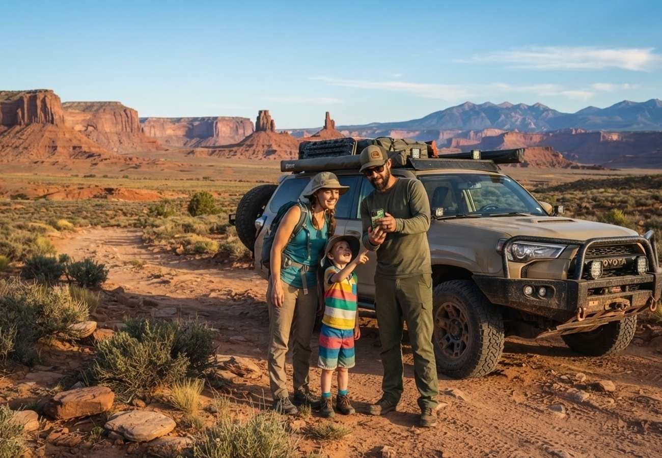
Image generated by AI
Standard navigation tools often fail where the best adventures begin. For travelers venturing into the US backcountry in 2026, relying on city-centric GPS can lead to dangerous detours or trespassing on private property.
The Local Trend Revealed: The Shift Toward Specialized Overlanding Tech
There is a growing movement among North American travelers to move beyond "turn-by-turn" navigation. While Google Maps remains the gold standard for urban transit, a significant shift is occurring toward "Information Gain" navigation—tools that provide context rather than just directions.
The danger of using standard apps in remote areas is not just the loss of signal, but the lack of terrain intelligence. Standard algorithms cannot distinguish between a paved road and a seasonal washout, nor can they identify if a route requires a high-clearance 4WD vehicle. This gap in data often leads travelers into "dead zones" where rerouting is restricted and live traffic updates vanish, leaving drivers vulnerable to getting stranded or inadvertently entering private ranch lands.
Cultural & Environmental Value: Navigating Public Lands Responsibly
Exploring the American West requires a deep understanding of land management. Much of the remote territory is overseen by the Bureau of Land Management (BLM) and the U.S. Forest Service (USFS). Navigating these areas requires a commitment to "Leave No Trace" principles and a strict adherence to legal boundaries.
Using specialized tools to identify public land boundaries is not just a convenience; it is a matter of regional respect and legal compliance. By utilizing apps that pull from county tax assessor records, travelers can ensure they are camping on legal public land, thereby reducing the environmental impact on fragile private ecosystems and avoiding conflicts with local landowners. This tech-driven approach supports sustainable tourism by directing traffic toward designated dispersed camping areas and away from protected wildlife habitats.
Backcountry Navigation App Comparison 2026
| App | Best For | Offline Capability | Standout Feature | Cost |
|---|---|---|---|---|
| onX Backcountry | Off-grid navigation & public land | Excellent (Paid tier for topo/satellite) | Color-coded land boundaries & 4x4 ratings | Paid subscription (Free basic online) |
| Gaia GPS | Topographic mapping & analysis | Excellent (Premium tier for offline) | Layered topo, satellite, and weather overlays | Paid Premium (Free basic online) |
| Roadtrippers | Scenic planning & hidden gems | Moderate (Offline via Premium) | Custom routes with roadside attraction tips | Free limited / Paid Premium |
| iOverlander | Dispersed camping & amenities | Excellent (Fully offline database) | Crowdsourced water, propane, and camp spots | Free (Donation supported) |
| The Dyrt | Campground research | Good (Offline maps via Pro) | User reviews and cell service reports | Free basic / Paid Pro |
Visitor Insider Tips for Remote Exploration
To ensure a safe journey through the US backcountry, keep these local expert tips in mind:
- The "Double-Map" Strategy: Never rely on a single source. Pair a high-resolution satellite app like onX with a technical topographic tool like Gaia GPS. Use Gaia for terrain analysis and onX for legal boundary verification.
- Pre-Download Grids: Do not attempt to "cache" maps while at a trailhead. Download massive custom map grids while on high-speed home Wi-Fi to ensure your phone's GPS chip can pin your location on 3D imagery without a signal.
- The "Loneliest Highway" Protocol: When traversing routes like Nevada’s Highway 50, always carry a physical paper map of the region. Digital tools can fail due to battery drain or hardware malfunctions in extreme heat.
- Respect the "No Trespassing" Signs: In the West, property lines are often invisible. If your app shows a transition from BLM land to private property, stop immediately. Local ranchers are protective of their land, and trespassing can lead to serious legal complications.
- Water and Fuel Logic: Use iOverlander to find "hidden" water sources and propane refills. In the backcountry, the nearest "gas station" on a standard map might be a closed outpost; crowdsourced data is more reliable.
Tourism Outlook
As remote travel continues to surge, the integration of real-time land ownership data and vehicle-specific trail ratings will become mandatory for safety. The long-term impact will be a more disciplined form of eco-tourism, where travelers are better equipped to stay on designated trails, reducing soil erosion and protecting the integrity of US national forests. The future of the American road trip lies in the balance between the thrill of being "off the grid" and the security of high-precision offline data.
Safe travels are those where the technology serves the landscape, not the other way around.
Related Travel Guides
Disclaimer
This article is for informational and educational purposes only. It does not constitute legal, financial, or professional advice. While we strive to provide accurate and up-to-date information, travel policies, regulations, and conditions change rapidly. Always verify information with official sources before making travel decisions. Nomad Lawyer makes no representations about the accuracy, reliability, completeness, or suitability of the information provided. Readers should consult qualified professionals for advice specific to their circumstances. The views expressed in this article are those of the author and do not necessarily reflect the views of Nomad Lawyer.
Kunal K Choudhary
Co-Founder & Contributor
A passionate traveller and tech enthusiast. Kunal contributes to the vision and growth of Nomad Lawyer, bringing fresh perspectives and driving the community forward.
Learn more about our team →