Arizona Wildfire Crisis: Prescott Blaze Triggers Evacuations and Threatens State Tourism Infrastructure
A fast-moving wildfire near Prescott, Arizona, has consumed over 300 acres, prompting mandatory evacuations and causing significant disruption to the state's tourism and transport infrastructure.
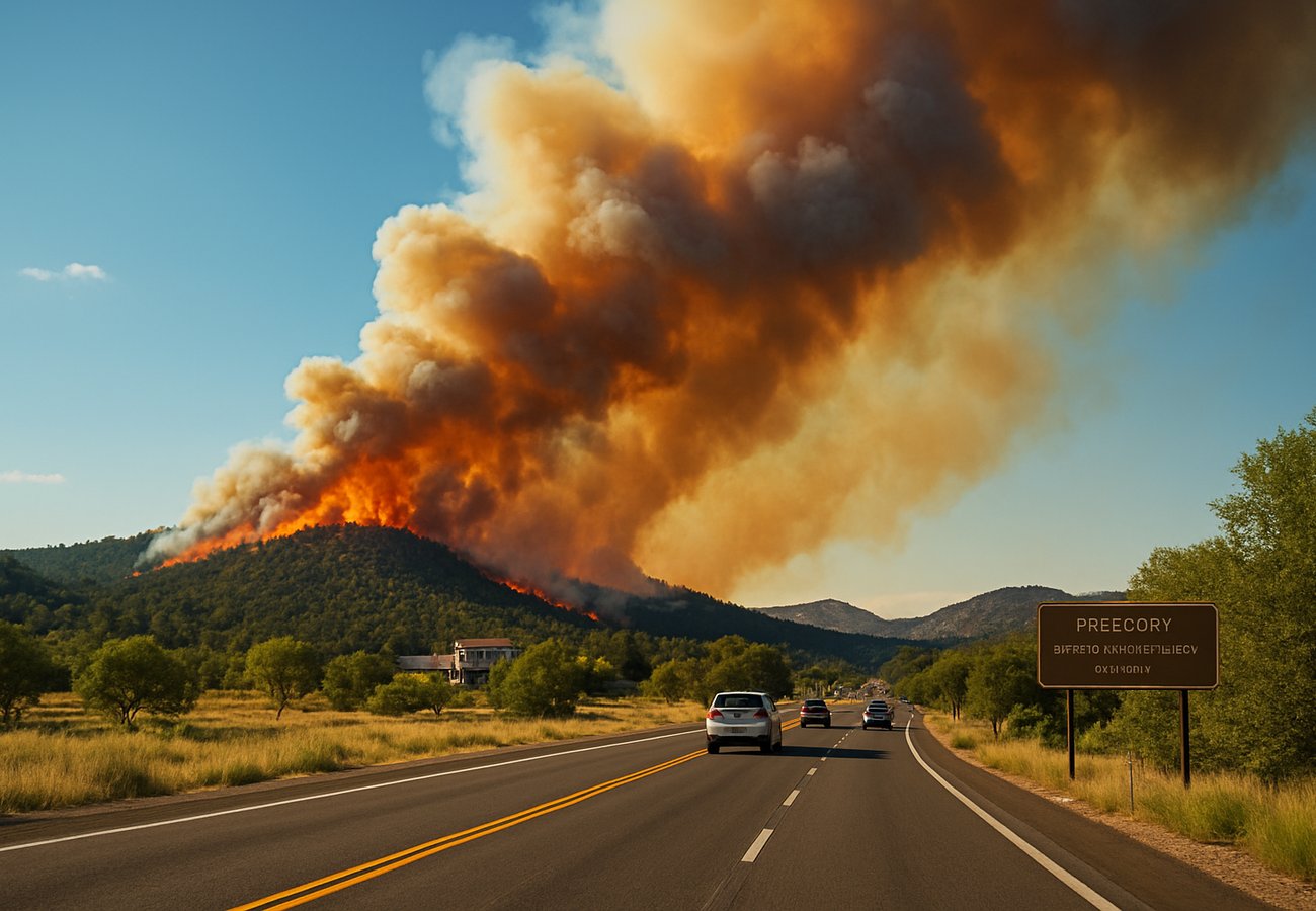
Image generated by AI
Quick Summary
- Arizona emergency services are currently battling a significant wildfire near Prescott, which has scorched over 300 acres of land as of May 4, 2026.
- High winds and record scorching temperatures have complicated containment efforts, leading to mandatory evacuation orders for multiple residential communities and the establishment of emergency shelters.
- The blaze is threatening critical biodiversity corridors, including the habitats of the Mexican gray wolf and the Sonoran desert toad, while forcing the temporary closure of several state highways.
- State and federal agencies, including the DFFM and U.S. Forest Service, have deployed aerial water drops and ground crews to protect homes and preserve iconic landscapes vital to Arizona's tourism economy.
Arizona’s 2026 fire season has arrived with early ferocity, testing the state’s firefighting capacity and threatening the rugged landscapes that draw millions of visitors annually. The "Prescott Blaze" has rapidly emerged as the season's first major disaster, fueled by prolonged drought conditions and difficult terrain that limits ground access.
With several highways closed and thousands of residents displaced, the focus remains on preventing the flames from reaching more densely populated areas and critical tourism infrastructure.
Wildfire Metrics and Response Status (May 4, 2026)
The following data provides a snapshot of the current fire situation and the scale of the emergency response.
| Parameter | Current Status (Prescott Blaze) | Lead Agencies |
|---|---|---|
| Total Acres Burned | 300+ Acres | U.S. Forest Service / DFFM |
| Containment Level | Partial / Dynamic | Arizona Dept. of Forestry |
| Primary Hazards | High Winds & Dry Vegetation | National Weather Service |
| Wildlife Risks | Mexican Gray Wolf & Sonoran Desert Toad | Arizona Game and Fish |
| Evacuation Status | Mandatory Orders in Effect | County Sheriff / FEMA |
| Firefighting Assets | Aerial Drops & Fire Breaks | DFFM / California/Nevada Support |
Impact on Tourism and Infrastructure
The reach of the Prescott wildfire extends far beyond the immediate burn zone, impacting the state’s connectivity and leisure economy.
- Highway Closures: The Arizona Department of Transportation has temporarily closed several remote highways to allow uninterrupted access for firefighting equipment. Travelers heading toward northern Arizona should expect significant delays and detours.
- Iconic Landscapes: While the Grand Canyon remains unaffected, the smoke from the Prescott region is beginning to impact air quality in surrounding recreational areas, potentially leading to the closure of local trails and campgrounds.
- Economic Strain: The cost of the emergency response is mounting, with additional resources being called in from neighboring California and Nevada to bolster the firefighting front.
Wildlife and Environmental Consequences
Arizona’s unique desert and forest ecosystems are particularly vulnerable to the rapid spread of fire.
- Habitat Destruction: The fire is moving through wildlife corridors essential for the Mexican gray wolf, a species already under intense conservation management.
- Long-Term Soil Health: Intense heat from the blaze can damage soil integrity, leading to concerns about flash flooding and erosion when the late-summer monsoon season arrives.
- Climate Feedback Loop: Experts point to the "dangerous feedback loop" of rising temperatures drying out vegetation, which then serves as more potent fuel for subsequent fire events.
Safety Advisory for Travelers in Arizona
For tourists and residents currently in the northern Arizona region, authorities recommend the following:
- Heed All Evacuation Orders: Do not attempt to stay in your home or rental property if a mandatory evacuation is issued. Wildfires can change direction in seconds due to high desert winds.
- Monitor Air Quality: Check local air quality indices (AQI) before planning outdoor activities. Smoke inhalation can be hazardous, especially for children and those with respiratory conditions.
- Maintain Defensible Space: Residents are encouraged to clear dry vegetation from around their properties and maintain fire-resistant landscaping.
- Confirm Travel Routes: Use the Arizona DOT official website to verify highway openings before departing on any road trips through the central or northern parts of the state.
FAQ: Arizona Wildfire Season 2026
When is the peak fire season in Arizona? Typically from May through September. However, the 2026 season has seen earlier-than-usual outbreaks due to extreme dry conditions.
Are the national parks closed? Most national parks, including the Grand Canyon, remain open, but local forest closures may be in effect near Prescott. Always check the U.S. Forest Service alerts for specific trail information.
How is the fire being fought? Crews are using a combination of aerial water drops, controlled "fire breaks" to starve the blaze of fuel, and ground teams to protect residential perimeters.
Related Travel Guides
Disclaimer
This article is for informational and educational purposes only. It does not constitute legal, financial, or professional advice. While we strive to provide accurate and up-to-date information, travel policies, regulations, and conditions change rapidly. Always verify information with official sources before making travel decisions. Nomad Lawyer makes no representations about the accuracy, reliability, completeness, or suitability of the information provided. Readers should consult qualified professionals for advice specific to their circumstances. The views expressed in this article are those of the author and do not necessarily reflect the views of Nomad Lawyer.

Kunal K Choudhary
Co-Founder & Contributor
A passionate traveller and tech enthusiast. Kunal contributes to the vision and growth of Nomad Lawyer, bringing fresh perspectives and driving the community forward.
Learn more about our team →