
10 Best Scenic Driving Routes on the Alaska Highway, According to Reddit (2026 Guide)
Discover the 10 most breathtaking scenic driving routes, mountain passes, and detours on the Alaska Highway according to experienced Reddit overland travelers.

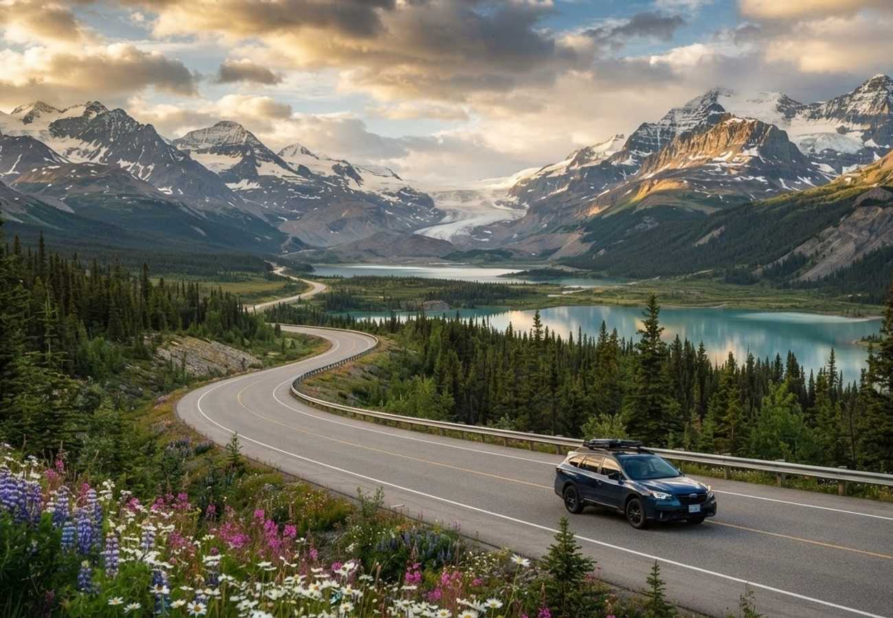
Image generated by AI
Spanning 1,387 miles (2,232 km) from Dawson Creek, British Columbia, to Delta Junction, Alaska, the historic Alaska Highway (the "Alcan") stands as North America's ultimate wilderness overland pilgrimage. Built under extraordinary conditions during World War II, the modern highway is fully paved, yet it traverses some of the most untamed subarctic terrain, glaciated mountain ranges, and wildlife corridors on the continent.
On travel forums like Reddit’s r/roadtrip, r/Alaska, and r/Yukon, seasoned long-distance drivers repeatedly emphasize that the Alaska Highway is not just a single road to be rushed through—it is a network of extraordinary mountain passes, turquoise glacial lakes, natural hot springs, and legendary frontier detours.
Here are the 10 best scenic driving routes and detours on and along the Alaska Highway, curated from the collective wisdom of Reddit travelers in 2026.
Alaska Highway Scenic Routes & Highlights at a Glance
| Route / Detour Name | Milepost / Location | Distance | Standout Feature | Optimal Season |
|---|---|---|---|---|
| 1. Summit Lake Pass | BC Historical Mile 392 (Km 627) | 45 miles | Highest Alcan summit (4,250 ft) & Stone sheep | June – September |
| 2. Muncho Lake Jade Corridor | BC Historical Mile 456 (Km 709) | 30 miles | Deep jade-green glacial waters & canyon bluffs | June – October |
| 3. Liard River Hot Springs | BC Historical Mile 496 (Km 765) | 25 miles | Natural 108°F hot pools & wood bison herds | Year-round |
| 4. Watson Lake to Teslin Lake | Yukon Mile 635 – Mile 804 | 170 miles | Sign Post Forest & 1,770-ft Nisutlin Bridge | May – October |
| 5. South Klondike Highway | Whitehorse, YT to Skagway, AK | 110 miles | Carcross Desert, Emerald Lake & White Pass | May – September |
| 6. Kluane Lake St. Elias Drive | Yukon Mile 1,016 – Mile 1,093 | 77 miles | Mt. Logan panoramas & Sheep Mountain Dall sheep | June – September |
| 7. Top of the World Highway | Dawson City, YT to Tok, AK | 187 miles | Alpine ridge drive & northernmost border crossing | Mid-May – Mid-Sept |
| 8. Haines Highway Scenic Byway | Haines Junction, YT to Haines, AK | 146 miles | Chilkat Pass tundra & world-famous eagle reserve | June – October |
| 9. Stewart-Cassiar & Salmon Glacier | BC Hwy 37 to Hyder, AK | 450 miles | Remote western wilderness & drive-up glacier | July – September |
| 10. Glenn Highway Scenic Byway | Tok / Glennallen to Anchorage, AK | 189 miles | Matanuska Glacier ice face & Chugach peaks | Year-round (Peak: Summer) |
1. Stone Mountain Provincial Park & Summit Lake Pass (BC Mile 392)
As you leave the rolling boreal foothills of Fort Nelson behind, the Alaska Highway climbs dramatically into the Northern Rocky Mountains. Reaching 4,250 feet (1,295 meters) above sea level, Summit Lake in Stone Mountain Provincial Park marks the highest elevation point along the entire Alaska Highway.
Here, the dense pine forests give way to wind-swept alpine tundra and dramatic grey scree slopes. Travelers frequently spot curved-horned Stone sheep licking road salt along the gravel shoulders. A roadside turnout at Summit Lake provides access to the rugged Mt. Saint Paul trail, offering 360-degree panoramic views over the northern Rockies.
- Reddit Pro-Tip: "Do not drive Summit Pass at dusk or in heavy fog without reduced speed. Stone sheep blend into the asphalt and cliffs perfectly," warns one veteran driver on
r/roadtrip.
2. Muncho Lake & The Trout River Valley (BC Mile 456)
Widely considered by road trippers to be the most visually stunning stretch of highway in British Columbia, Muncho Lake stretches for over seven miles along the road, framed by folded limestone mountains. The water boasts a striking jade-green color, caused by copper oxide and glacial rock flour suspended in its deep glacial trench.
The highway hugs the eastern lakeshore with sweeping curves, lakeside pullouts, and rustic log-cabin lodges. Just north of the lake, the road cuts through the steep-walled canyon of the Trout River, where mineral licks regularly attract moose, caribou, and black bears right next to the tarmac.
- Reddit Pro-Tip: Book a night at a lakeside cabin or camp at Strawberry Flats Campground to watch the sunset illuminate the limestone peaks across the mirror-like turquoise water.
3. Liard River Hot Springs & Wood Bison Thermal Oasis (BC Mile 496)
Located just 40 miles north of Muncho Lake, Liard River Hot Springs Provincial Park is an absolute must-stop sanctuary for tired drivers. A scenic 1,000-foot wooden boardwalk winds through a delicate thermal wetland marsh—home to boreal orchids and warm-water minnows—leading to the open-air Alpha Pool, where natural geothermal waters maintain temperatures between 108°F and 126°F (42°C to 52°C) year-round.
The stretch of highway surrounding Liard River is also the primary habitat for the largest wild wood bison herd in North America. Massive bulls weighing up to 2,000 pounds graze peacefully along the grass clearings flanking the highway.
- Reddit Pro-Tip: "Always carry clean flip-flops and a towel in your car cabin so you don't have to dig through packed luggage when you pull in for an impromptu soak," recommends an
r/Yukonlocal.
4. Watson Lake to Teslin Lake & Nisutlin Bay Bridge (Yukon Mile 635 to Mile 804)
Entering the Yukon Territory at Watson Lake, road trippers encounter the world-famous Sign Post Forest, initiated in 1942 by US Army Pvt. Carl K. Lindley and now featuring nearly 100,000 personalized international markers.
Heading west along Highway 1, the landscape opens up into expansive subarctic river valleys. The highlight of this stretch is crossing the 1,770-foot Nisutlin Bay Bridge into Teslin—the longest water span on the Alaska Highway—where the road glides above the vast waters of Teslin Lake, surrounded by the heritage homelands of the Teslin Tlingit First Nation.
- Reddit Pro-Tip: Bring your own pre-made wooden sign, paint pens, and a cordless drill with galvanized screws if you want to leave your mark permanently at the Sign Post Forest.
5. The South Klondike Highway Detour: Carcross Desert to Skagway, AK
At Mile 874 near Whitehorse, the South Klondike Highway (Yukon Highway 2) provides one of the most rewarding side trips in North America. Heading south, you pass the brilliant turquoise-green marl deposits of Emerald Lake before reaching Carcross, home to the "world's smallest desert"—a bizarre one-square-mile expanse of ancient post-glacial sand dunes surrounded by alpine peaks.
Continuing south across the international border, the road climbs over the mist-shrouded, granite-strewn White Pass (2,864 ft) before descending 3,000 feet in just 14 miles down into the historic gold-rush fjord town of Skagway, Alaska.
- Reddit Pro-Tip: Skagway connects back to the Alaska Highway via the Alaska Marine Highway ferry to Haines, enabling an incredible cross-border loop without backtracking.
6. Kluane Lake & The St. Elias Mountain Corridor (Yukon Mile 1,016 to Mile 1,093)
From Haines Junction to Destruction Bay, the Alaska Highway flanks the eastern boundary of Kluane National Park and Reserve, home to Canada's highest peak (Mount Logan, 19,551 ft) and the largest non-polar icefield in the world.
The highway skirts the cobalt-blue waters of Kluane Lake, where dramatic glacial silt flats create windblown dust plumes beneath sheer rock walls. Pull over at the Parks Canada Da Kų Cultural Centre or the Sheep Mountain Visitor Centre at Tachäl Dhäl, where high-powered spotting scopes let you observe pure white Dall sheep grazing along the high alpine ridgelines.
- Reddit Pro-Tip: Book a 1-hour glacier flightseeing tour from the Haines Junction airstrip for an unforgettable look at the massive Lowell and Kaskawulsh glaciers.
7. The Top of the World Highway & Taylor Highway Loop (Dawson City, YT to Tok, AK)
For adventurous travelers seeking true frontier driving, detour north from Whitehorse to historic Dawson City along the Klondike Highway. After crossing the Yukon River on the free George Black Ferry, embark on the Top of the World Highway (Yukon Highway 9).
This mostly gravel highway winds atop winding ridge crests well above the tree line, offering limitless 360-degree vistas across rolling arctic tundra. It leads to Poker Creek / Little Gold Creek—the northernmost international border crossing in North America—before connecting with Alaska's Taylor Highway into Tok.
- Reddit Pro-Tip: The border crossing and ferry operate seasonally from mid-May through mid-September. Check road conditions before heading out, as heavy rain can make the gravel slick.
8. The Haines Highway National Scenic Byway (Haines Junction, YT to Haines, AK)
Branching south from Haines Junction at Mile 1,016 of the Alcan, the 146-mile Haines Highway is recognized as one of the top five most scenic alpine highways in the world. The road cuts through the wide subarctic tundra of Chilkat Pass (3,510 ft), where wildflowers bloom in summer and tundra shrubs turn fiery crimson in late August.
As the road descends toward the Pacific ocean at Haines, Alaska, it parallels the Chilkat River through the Alaska Chilkat Bald Eagle Preserve, where thousands of bald eagles gather each autumn to feast on late salmon runs.
- Reddit Pro-Tip: This route requires crossing the US-Canada border. Carry your passport and check border post operating hours, as it is not a 24-hour crossing.
9. The Stewart-Cassiar Highway & Salmon Glacier Detour (BC Hwy 37 to Hyder, AK)
For drivers heading north who want to bypass the southern half of the Alcan, the 450-mile Stewart-Cassiar Highway (BC-37) offers an even wilder, less-traveled alternative. The ultimate highlight is the 40-mile side trip along BC-37A to the coastal border towns of Stewart, BC, and Hyder, Alaska.
From Hyder, a rough gravel road climbs into the mountains to overlook the colossal Salmon Glacier—the fifth-largest glacier in North America accessible by passenger car. In late summer, nearby Fish Creek features an elevated wooden viewing boardwalk where grizzly bears and black bears fish for spawning chum salmon.
- Reddit Pro-Tip: Hyder, Alaska has no US customs checkpoint upon entry from Stewart, but you must pass through Canada Border Services Agency (CBSA) customs when returning to Canada.
10. The Glenn Highway National Scenic Byway (Tok / Glennallen to Anchorage, AK)
Connecting the official terminus of the Alaska Highway in Tok to Anchorage, the Glenn Highway (Alaska Route 1) traverses dramatic glacial valleys carved between the Chugach and Talkeetna mountain ranges.
The undisputed centerpiece of this drive is the Matanuska Glacier, a 27-mile-long river of ancient blue ice that terminates right next to the highway at Mile 102. Roadside lookouts provide stunning vistas of the glacier's seracs, crevasses, and icefalls framed by snow-covered peaks.
- Reddit Pro-Tip: Stop at the Matanuska Glacier State Recreation Site for easy, elevated boardwalk viewing, or hire an accredited local ice guide for a guided glacier trek.
Practical Survival & Driving Tips from Reddit Overlanders
Driving the Alaska Highway in 2026 is an accessible adventure for standard cars, SUVs, and RVs, provided you adhere to northern road protocols:
- Purchase The Milepost: Often called the "Bible of North Country Travel," The Milepost provides mile-by-mile logs of gas stations, lodging, campgrounds, bridge clearances, and mechanical shops. Download offline copies as cell service is absent for long stretches.
- Fuel Management Strategy: Never pass an open service station when your tank is below half full, especially along remote stretches like Fort Nelson to Watson Lake or the Stewart-Cassiar.
- Windshield & Tire Protection: Highway construction and seasonal frost heaves mean gravel patches are common. Increase following distance behind semi-trucks and carry a 12V tire inflator and a puncture repair kit.
- Wildlife Safety: Avoid driving at dawn, dusk, or night. Bison, moose, and elk frequently bed down near the warm road asphalt and their eyes do not reflect headlights as brightly as deer.
FAQ: Alaska Highway Driving Routes 2026
Is the Alaska Highway fully paved?
Yes. The entire length of the Alaska Highway (Highway 1) is paved from Dawson Creek, BC, to Delta Junction, AK. However, seasonal roadworks, gravel pilot-car sections, and frost heaves are normal during summer.
What is the most scenic section of the Alaska Highway?
The stretch between Fort Nelson and Watson Lake—specifically Stone Mountain Provincial Park, Muncho Lake, and Liard River Hot Springs—is widely considered the most scenic on the main Alcan corridor.
Do I need an 4x4 or overland vehicle to drive the Alaska Highway?
No. Any reliable, well-maintained passenger car, minivan, or RV can complete the drive in summer (June to September). A 4x4 is only necessary if tackling rugged gravel detours like the Top of the World Highway or Salmon Glacier.
How many days does it take to drive the Alaska Highway?
A comfortable road trip from Dawson Creek to Fairbanks takes 7 to 10 days at a relaxed pace (driving 200–300 miles per day), allowing time for hot springs, hikes, and wildlife viewing.
The true magic of the Alaska Highway isn't reaching the end of the road, but discovering that the road itself is the destination.
Related Travel Guides
Disclaimer
This article is for informational and educational purposes only. It does not constitute legal, financial, or professional advice. While we strive to provide accurate and up-to-date information, travel policies, regulations, and conditions change rapidly. Always verify information with official sources before making travel decisions. Nomad Lawyer makes no representations about the accuracy, reliability, completeness, or suitability of the information provided. Readers should consult qualified professionals for advice specific to their circumstances. The views expressed in this article are those of the author and do not necessarily reflect the views of Nomad Lawyer.
Raushan Kumar
Founder & Lead Developer
Full-stack developer with 11+ years of experience and a passionate traveller. Raushan built Nomad Lawyer from the ground up with a vision to create the best travel and law experience on the web.
Learn more about our team →